RAYBURN, TX Campground Reservation, Info, Images, Map, Directions

RAYBURN, Texas Campground Images, Info & Reservations

Listen

Directions

From Pineland, TX, take FM 83 west 10 miles, then go south on FM 705 for 11 miles to FM 3127, then west for 1.5 miles and make a left into the park entrance.

Phone

409-384-5716

Activities

BOATING, CAMPING, FISHING, HIKING, HUNTING

Keywords

RAYB,SAM RAYBURN RESERVOIR,SAM RAYBURN LAKE,RAYBURN LAKE,SAM RAYBURN RESERVOIR

Related Link(s)

Rec Area Info & Images

Texas State Tourism

Texas State Road Conditions

Overview

Rayburn Park lies on the north shore of Sam Rayburn Reservoir, a popular family destination with boating and fishing and access to hunting less than a mile away. Sam Rayburn Reservoir and the surrounding Angelina National Forest provide a wintering habitat for the bald eagle. During the winter months, forest visitors may see the bald eagle soaring over the lake, perched on a flooded snag or in a tall pine along the shoreline.

Recreation

Sam Rayburn Reservoir is well-known for its largemouth bass, with numerous tournaments hosted here each year. Among the most impressive catches ever recorded is a 74-pound Flathead catfish.

The lake is also popular for jet skiing, water skiing, swimming and birding. It’s used as a feeding and resting grounds for migratory birds on their path to the Gulf Coast. A resident population of wood ducks remains in the forest year-round.

Facilities

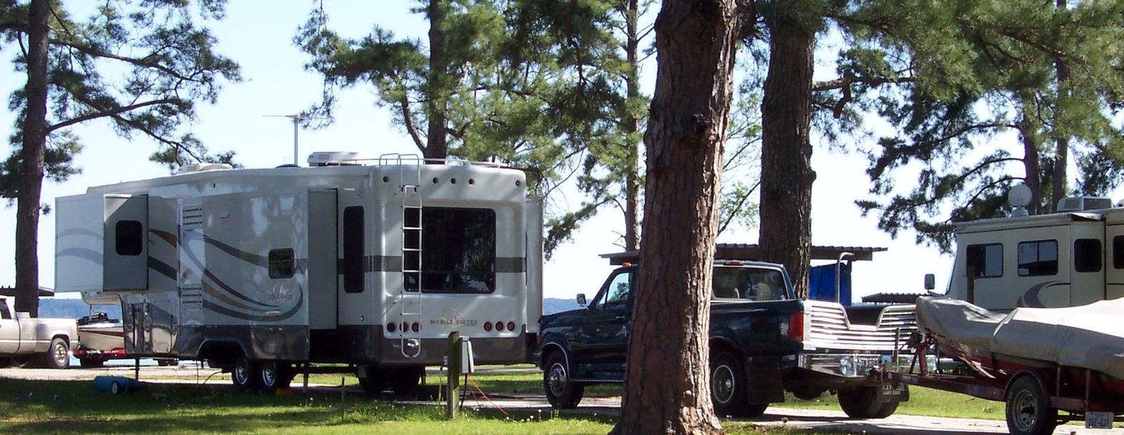
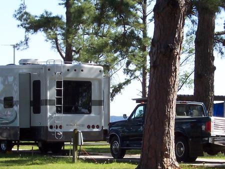
The park is open year-round and features 46 campsites with water and electric hookups ranging from 30 to 50 amps. A boat launch and playground are also available.

Natural Features

At 114,000 surface acres, Sam Rayburn is the largest man-made lake that is completely within the boundaries of Texas. The reservoir is fed by the Angelina River, a major tributary of the Neches River.

The piney woods region boasts native flora like orchids, insect-eating plants and scores of animal species.

Nearby Attractions

From the eastern edge of the lake, hikers can embark on a 28-mile trail that heads east to the Toledo Bend Reservoir.

Reservation

More from CampingHiking.net:

SUNSET COVE CAMPGROUND, Oregon Campground Images, Info & Reservations

Listen Directions From Crescent, OR: Travel 12.2 miles west on County Road 61/ Crescent Cut-Off Road, then 6.2 miles north and west on Highway 58. Phone 541-323-1746 Activities CAMPING Keywords Related Link(s) Rec Area Info & Images Oregon State Road Conditions Oregon State Tourism Overview Located next to Odell Lake,

AVERY CREEK CABIN, Idaho Campground Images, Info & Reservations

Listen Directions From I-90, take Exit 43 (Kingston); travel 23 miles north on Forest Highway 9, then continue straight for 3 miles on Forest Road 208 (2-lane paved highway) to Avery Cabin. The cabin is approximately 200 feet past milepost 26. Avery Picnic Area is directly across Forest Road 208.

NAT CALDWELL PARK, Tennessee Campground Images, Info & Reservations

Listen Directions From Nashville, take I-65 North to TN-386/Vietnam Veterans Blvd. Continue East on TN-386/Vietnam Veterans Boulevard to exit 9. Merge onto US-31E N/Johnny Cash Pkwy/E Main St. and continue approximately 2.5 miles. Nat Caldwell Park will be on your left just before crossing over Station Camp Creek. Phone (615)

SPENCE CABIN, Tennessee Campground Images, Info & Reservations

Listen Directions Spence Cabin is located near Elkmont Campground. Drive south from Gatlinburg, TN on Newfound Gap Road (U.S. 441) for 1.7 miles and turn right onto Little River Road toward Cades Cove. Proceed 5 miles to Elkmont Campground road and turn left. Go 1.4 miles and turn left just

BENNY CREEK GROUP AREA, Arizona Campground Images, Info & Reservations

Listen Directions From Show Low, Arizona, take Highway 260 southeast 42 miles to Highway 373. Follow 373 south for 2.5 miles to the Benny Creek Campground entrance on the left. Phone 928-735-7313 Activities CAMPING, FISHING, HIKING Keywords BENN,APACHE-SITGREAVES NF-FS Related Link(s) Rec Area Info & Images Arizona State Road Conditions