
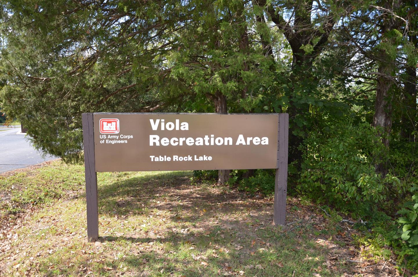
Directions
From Shell Knob, Missouri, take Highway 39 south for 7 miles and turn west to campground entrance.
Phone
417-858-3904
Activities
BIKING, BOATING, CAMPING, FISHING, HIKING, PICNICKING, WATER SPORTS, WILDLIFE VIEWING, DAY USE AREA, SWIMMING SITE, KAYAKING
Keywords
VIOL,TABLE ROCK LAKE,TABLE ROCK LAKE
Related Link(s)
Missouri State Road Conditions
Overview
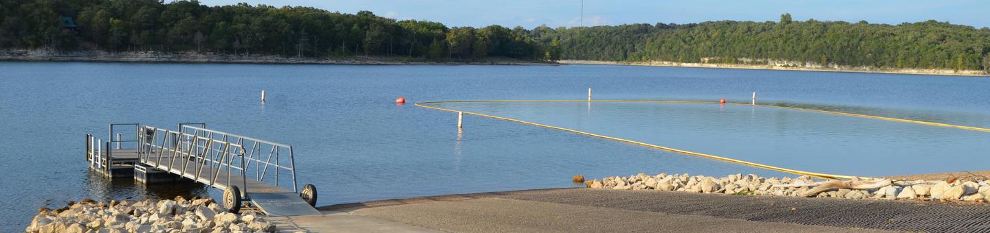
Viola sits along the Kings River Arm of Table Rock Lake in the Missouri countryside. Boaters and water sports enthusiasts are particularly drawn to Viola for its easy access to the clear blue waters of Table Rock Lake.
Recreation
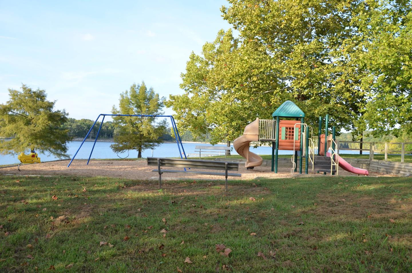
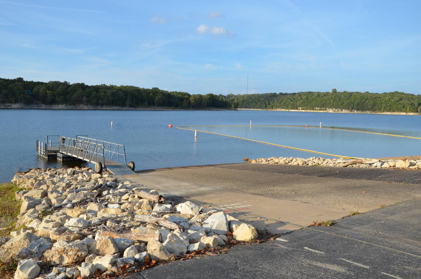
Whether on water or land, Viola Campground offers visitors countless recreational activities. Picnicking, swimming, scuba diving, boating, fishing, hiking and wildlife viewing are all popular pastimes at the park. Kings River Marina, located in the Viola Recreation Area offers everything from fuel to equipment rentals, to boat storage for visitors. Fishing licenses can also be purchased at the marina and anglers can go from there to try their hand at the excellent bass fishing the lake provides. Adjacent to the Marina, a playground, boat ramp and designated swimming area, each provide endless avenues for outdoors entertainment.
Facilities
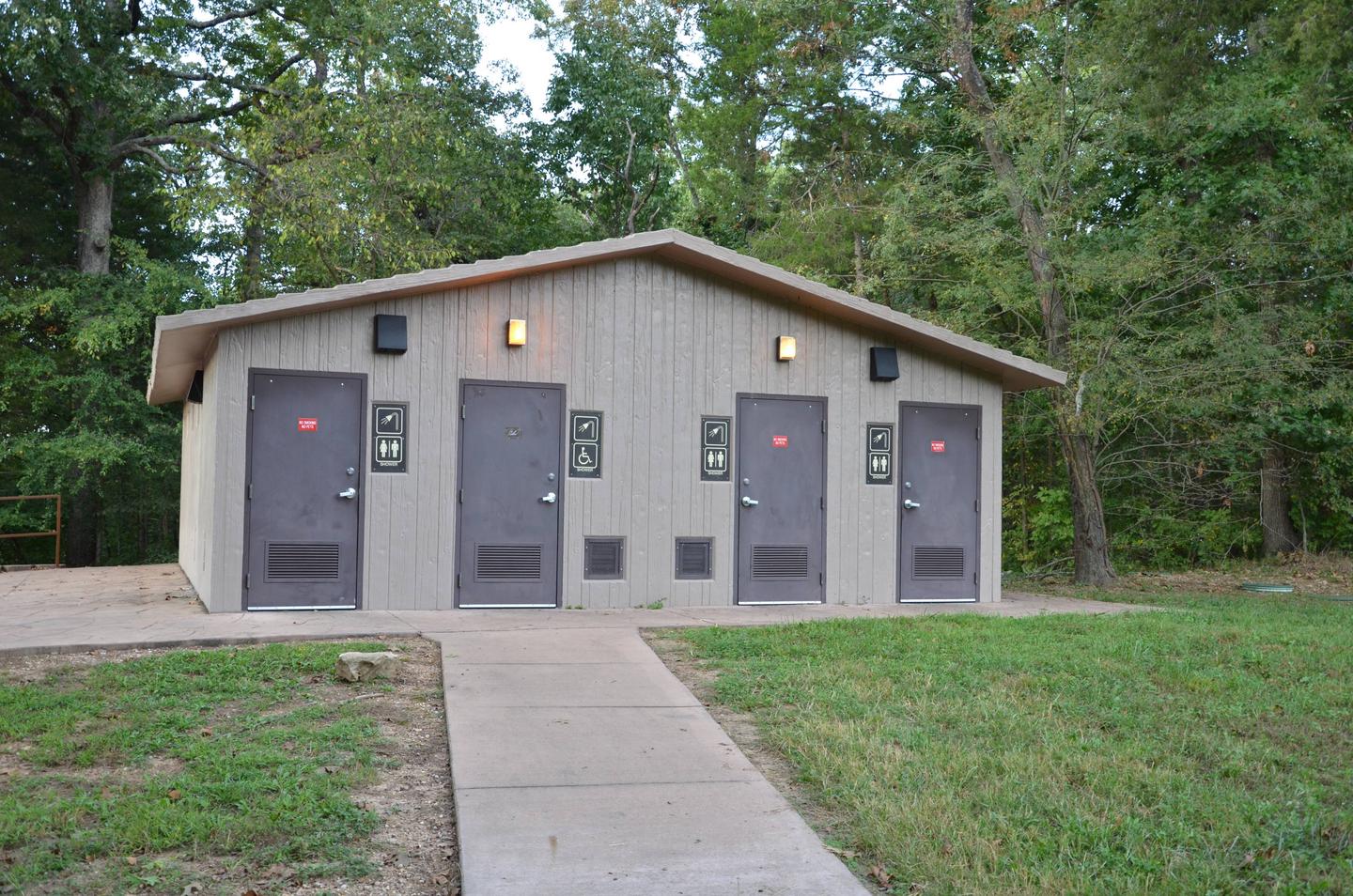
Viola Campground offers 56 reservable campsites. Amenities like hot showers, drinking water, a dump station and electric hookups create a comfortable camping experience.
Natural Features
Table Rock Lake is a beautiful body of water surrounded by a forest of oak and hickory trees. Its waters wind down through the valleys and hollows of the Ozark Mountains, from Branson, Missouri to Eureka Springs, Arkansas.
More than five million visitors per year take advantage of this recreational oasis. Originally built for flood control, the Table Rock Dam has created a lake that boasts 779 miles of shoreline for the public to enjoy.
Nearby Attractions
The Dewey Short Visitors Center is located at the south end of Table Rock Dam. It offers three educational films focused on the history of the dam, the story of Lewis and Clark and the history of eagles and their endangerment in the state of Missouri.
The visitor center also contains exhibits about the natural history of the area. Those visitors arriving by boat can take advantage of the courtesy dock.
Viola Campground is about 36 miles from Branson, Missouri, which offers grocery stores, gas and additional tourist attractions.