
Directions
From Dumas, Arkansas, travel north on US-165 for 9 miles to State Route 212. Turn right and continue 4 miles east, through Pendleton Bend Park, to the campground.
Phone
870-548-2291
Activities
BOATING, CAMPING, FISHING, HIKING, HUNTING, BIRDING
Keywords
WILB,WILBUR D. MILLS LOCK AND DAM,WILBUR MILLS PARK,MILLS PARK,WILBUR D MILLS,WILBUR D MILLS LOCK
Related Link(s)
Arkansas State Road Conditions
Overview
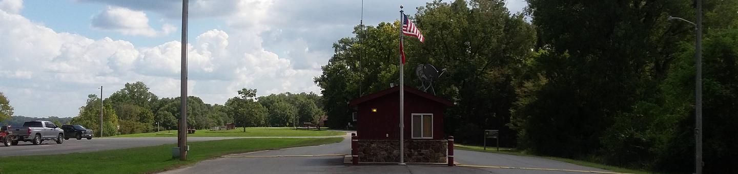
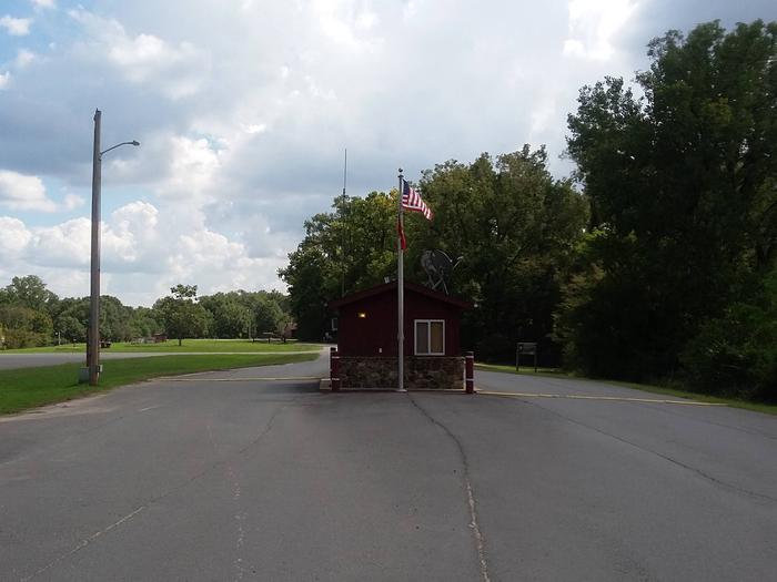
Wilbur D. Mills Campground is a small, quiet campground offering 21 campsites. The park is located just downstream of the Wilbur D. Mills Dam on the right descending bank of the Arkansas River.
Recreation
Hiking, fishing, hunting, birding, and boating are all popular pastimes in this area. The waters below Wilbur D. Mills Dam can be an excellent place to catch Blue, Channel and Flathead catfish as well as other species such as crappie, white bass, striped bass, and their hybrids. Many outdoor enthusiasts find the whitetail deer hunting to be excellent in the fertile soils of the bottomland hardwoods of the public lands adjacent to the area. Birders find many species to check off their lists as well. Hiking is permitted year round in the area, except during permit drawn hunts outside the park. Hikers are reminded to wear bright colors, such as fluorescent orange or yellow during hunting seasons as well.
Facilities
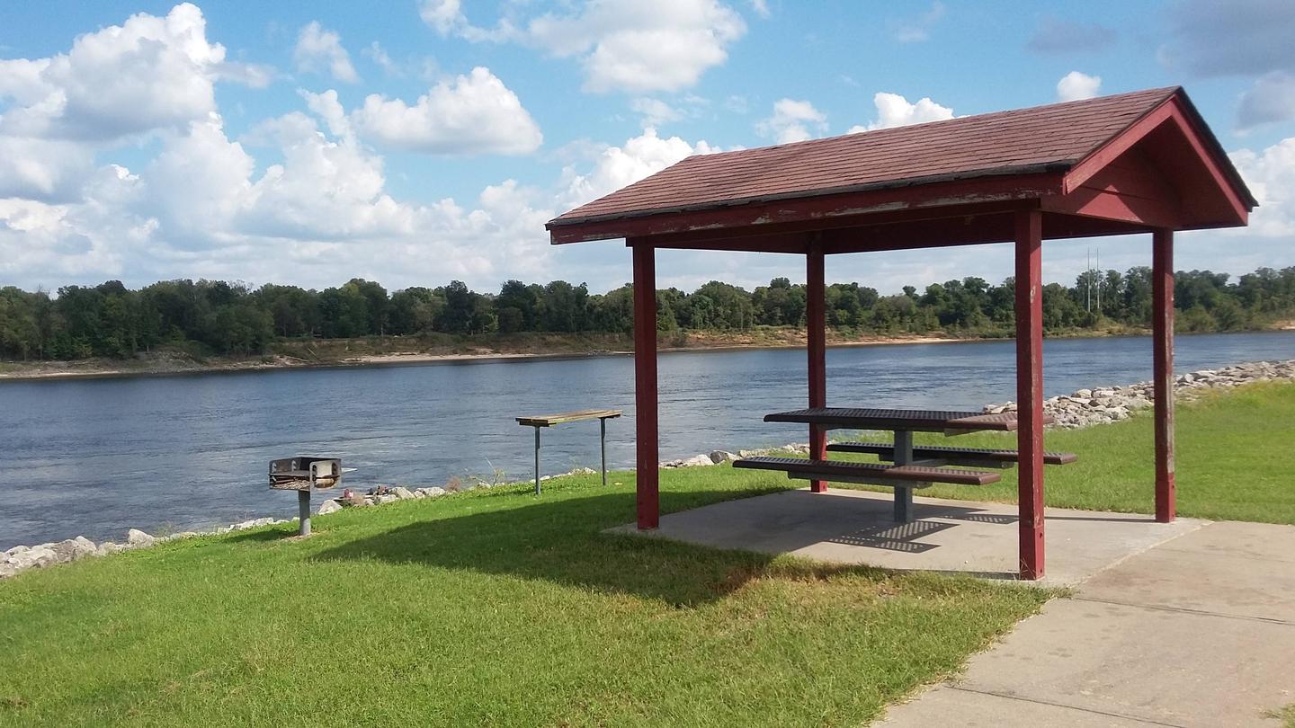
Electric and water hookups are available at each of the 21 campsites, 17 of which can be reserved. There is one designated Disabled Access site. Hot showers and a boat launch are also available.
Natural Features
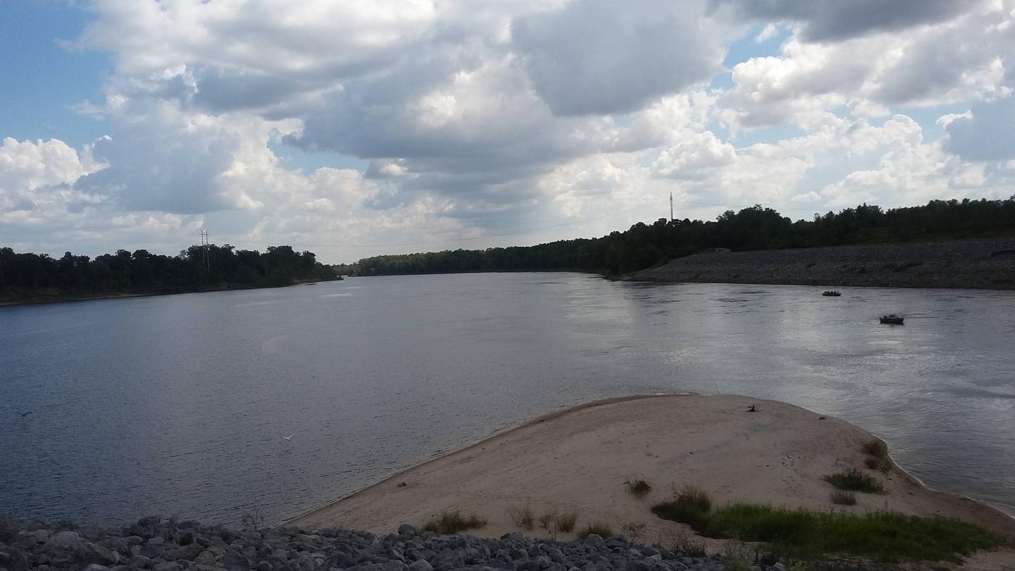
The Wilbur D. Mills Campground is on the lower portion of the Arkansas River, just below the Wilbur D. Mills Dam. This non-commercially navigable portion of the Arkansas River meanders below Wilbur D. Mills Dam as it makes it’s 26 mile journey to the confluence with the Mississippi River. Many species of shorebirds find the shallow water and sand bars great feeding and nesting habitat. Federally Endangered Least Terns (Sterna antillarum) can be seen feeding and nesting in this portion of the Arkansas River. Please exercise caution and avoid active nesting sandbars.
Nearby Attractions
The Arkansas Post National Memorial marks where the first European village west of the Mississippi River was built in 1686. Arkansas Post was also the capital of Arkansas up until the Civil War. Arkansas Post State Park is also close to WIlbur D. Mills Campground and is worth a visit. Arkansas Game and Fish Commission’s Trusten Holder Wildlife Management Area is a state managed public land area offering many outdoor activities. The Dale Bumpers White River National Wildlife Refuge also offers many recreational activities on its 160,000 acres of public land.