WILSON H FOX, TX Campground Reservation, Info, Images, Map, Directions

WILSON H FOX, Texas Campground Images, Info & Reservations

Listen

Directions

From I-35 take Highway 79 east to Highway 95. Go north to FM 1331 then go east on FM 1331 for approximately 7 miles to the entrance of Granger Dam. Turn left and take next left into the park

Phone

512-859-2668

Activities

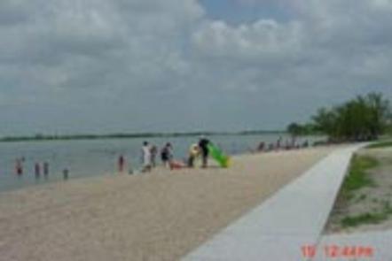
CAMPING, VISITOR CENTER, SWIMMING SITE

Keywords

WILS,GRANGER LAKE,LAKE GRANGER,GRANGER LAKE,wilson fox

Related Link(s)

Rec Area Info & Images

Texas State Road Conditions

Texas State Tourism

Overview

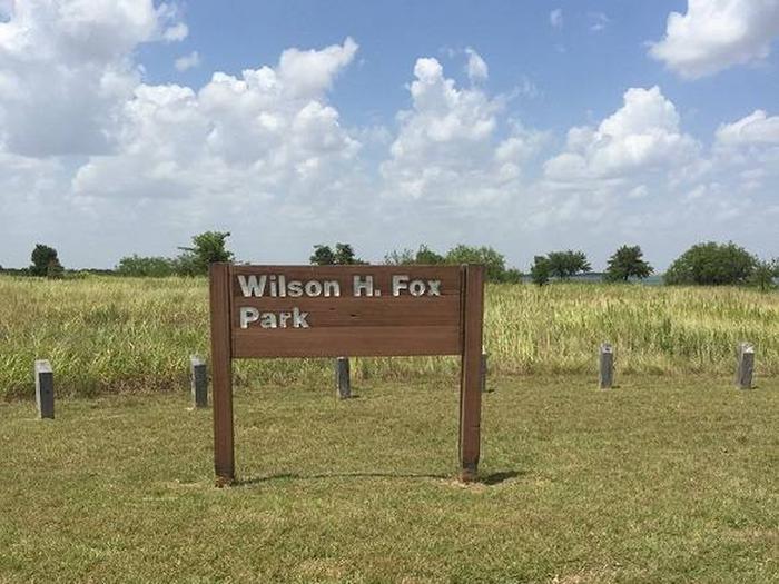
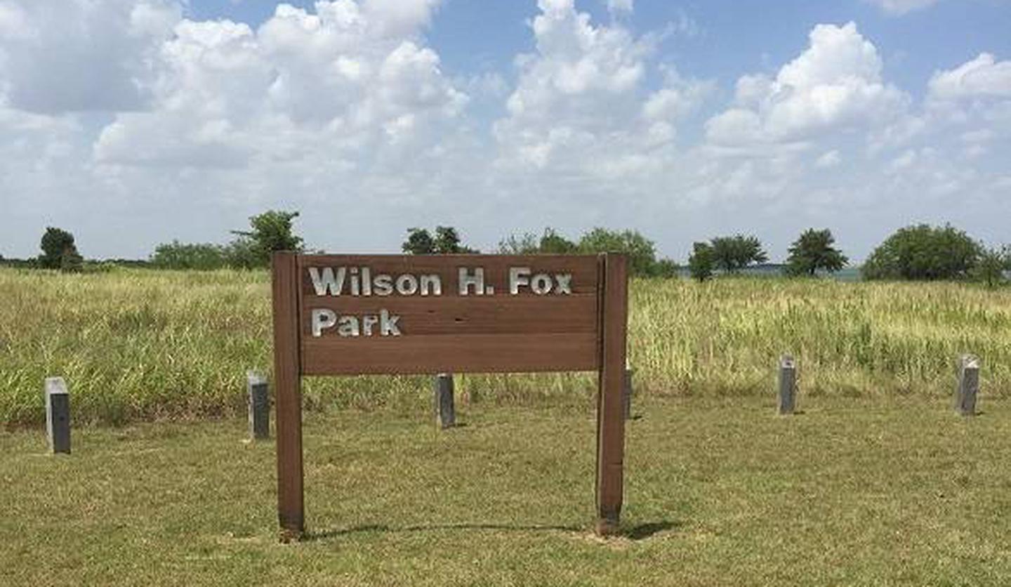
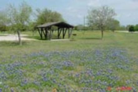
Wilson H. Fox Park attracts a variety of campers looking for a fun-filled escape. In springtime, the campground is a colorful place covered in a blanket of wildflowers. In the hot summer months, there’s no place like a lakeside campsite with a swimming beach, fishing dock and two ramps to set sail or paddle out on the lake.

Recreation

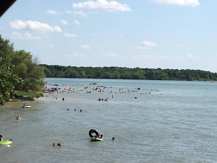
Whether it’s sailing, swimming or water skiing, visitors have many options for fun out on the water. Fish for catfish, white bass or crappie.

Just beyond the park, archery hunting for feral hogs is allowed year-round.

Facilities

All sites have water and electric hookups, a covered picnic table and stand up grill. Two playgrounds, two boat ramps and beach access are also onsite.

Natural Features

The campground is on the shores of Granger Lake, with the gently rolling hills of the Texas Blackland Prairie as a backdrop.

Granger Lake is fed by the San Gabriel River and Willis Creek, and was formed in 1980 upon completion of the 16,000 foot long dam.

Nearby Attractions

The Pecan Grove Wildlife Area is just east of Wilson H. Fox and sits below the dam. It provides plenty of opportunities for wildlife spotting, as well as a view above the dam. San Gabriel and Sore Finger Wildlife Areas are also worth a visit.

Reservation

More from CampingHiking.net:

MERRISACH LAKE, Arkansas Campground Images, Info & Reservations

Listen Directions From DeWitt, Arkansas, take US-165 south for 8.1 miles to State Route 44. Turn east for 5.3 miles and continue south onto Tichnor Blacktop Rd. After 10 miles, turn right onto Merrisach Lake Lane and continue into the park. Phone 870-548-2291 Activities BOATING, CAMPING, FISHING, HUNTING, WILDLIFE VIEWING,

LAKE THREE, Wisconsin Campground Images, Info & Reservations

Listen Directions 34412 Mineral Lake Rd. (FR 198) From Mellen, Wisconsin; Take County Highway GG west for about 8 miles. Turn right onto Forest Service Road 187/Mineral Lake Road and continue for 3 miles to the intersection with Forest Service Road 198/Pine Stump Corner. Turn right and continue less than

FISH CREEK CAMPGROUND, Montana Campground Images, Info & Reservations

Listen Directions Important: Please do not rely on GPS for directions to Fish Creek Campground. Please use these directions: Fish Creek is located four miles northwest of the west park entrance near West Glacier, Montana. Access is from U.S. Highway 2, approximately 32 miles northeast of Kalispell, Montana. Phone 406-888-7800

ASPEN GROUP AREA, New Mexico Campground Images, Info & Reservations

Listen Directions In southeast New Mexico, approximately 20 miles east of Alamagordo. From Alamagordo take US 82 east and go 16 miles. Just before Cloudcraft turn right (South) on NM 130. Go 1.4 miles. Turn left (east) on Forest Road 24B, go 0.5 miles. Aspen Group Area is on the

LAKES BASIN, California Campground Images, Info & Reservations

Listen Directions In Graeagle, CA, at the intersection of State Rt. 89 and Forest Rt. 24 (Gold Lakes directional sign), turn onto Rt. 24 and go 6.9 miles to campground sign. Turn right onto the single-lane road and proceed 0.3 miles. The campground will be on the right. Phone CAMPGROUND/CAMPSITE