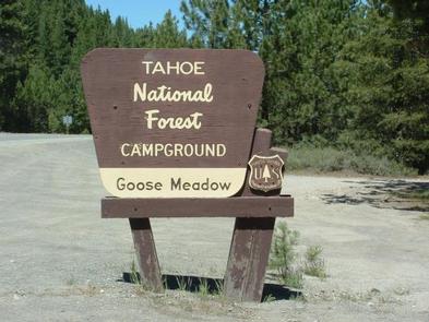
GOOSE MEADOWS, CA Campground Reservation, Info, Images, Map, Directions

GOOSE MEADOWS, California Campground Images, Info & Reservations

Listen

Directions

From Truckee, Calif., take Highway 89 south for 5 miles to the campground.

Phone

(530)587-3558. FOR RESERVATIONS, PLEASE CALL: 1 (877) 444-6777.

Activities

BIKING, CAMPING, FISHING, HIKING, SWIMMING, WATER ACCESS

Keywords

GOOM,TAHOE NF – FS

Related Link(s)

Rec Area Info & Images

California State Road Conditions

California State Tourism

Overview

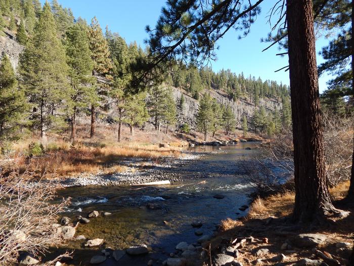
Goose Meadow Campground is located along the Truckee River adjacent to Highway 89, about half-way between Tahoe City and Truckee. Visitors enjoy the area for its fishing and hiking opportunities, as well as its proximity to Lake Tahoe and Squaw Valley. This facility is operated and maintained by the Tahoe National Forest.

Recreation

Fly-fishing for rainbow trout in the Truckee River is a popular activity enjoyed by visitors to the campground. Campers also enjoy swimming and tubing. The surrounding area offers hiking and biking trails, including the Western States Trail, Five Lakes Trail, and Pacific Crest Trail.

Facilities

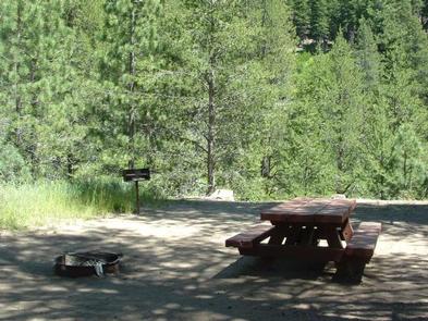
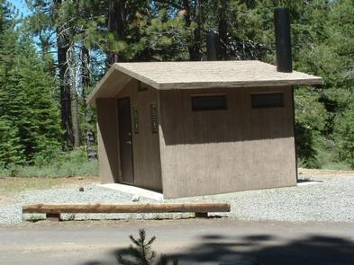
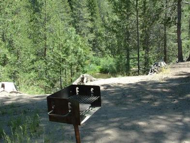
The campground offers single-family campsites, each equipped with a picnic table and campfire ring with grill. Vault toilets and drinking water are provided.

Natural Features

The campground is situated on the banks of the Truckee River. A scenic forest of lodgepole pine and fir trees covers the area.

Nearby Attractions

Goose Meadow Campground is centrally located between the Prosser, Boca and Stampede reservoirs to the north, and Lake Tahoe and Squaw Valley to the south. A variety of outdoor recreational activities are available at each location. Truckee, 10 minutes north, offers all the amenities of a year round recreational mountain town including interstate highway connectivity, top notch restaurants, resorts and hotels, grocery stores, gas stations, shopping, and historic sites. Lake Tahoe is located 30 minutes south and offers excellent boating, kayaking, fishing, hiking and scenic driving opportunities, as well as dining, shopping and lodging options. Other recreational opportunities include Donner Camp Interpretive Trail, Overland Emigrant Commemorative Trail, Stampede Reservoir Recreation Area, Prosser Pits OHV area, and numerous hiking, mountain biking, and OHV trails.

Reservation

More from CampingHiking.net:

RADEKE CABIN, New Hampshire Campground Images, Info & Reservations

Listen Directions From NH Route 16 in Conway, take NH route 112 (Kancamagus Highway) west for 14 miles. The cabin is on the right, a quarter mile before Passaconaway Campground. From Interstate route 93 in Lincoln, take exit 32 for NH Route 112. At bottom of exit ramp, turn left

Anthony Lake, Oregon Campground Images, Info & Reservations

Listen Directions From Baker City, head north on Highway 30 toward Haines, approximately 10 miles. In Haines, turn left and follow the Anthony Lake Highway signs (turns into Forest Road 73) for 25 miles to the Anthony Lake Recreation Area. Turn left into the Anthony Lake Campground. The main campground

ASPEN HOLLOW GROUP, California Campground Images, Info & Reservations

Listen Directions From Fresno, California, take Highway 180 east to Grants Grove. Drive approximately 12 miles, then take a right onto Hume Road and continue 4 more miles, passing Christian Camps. Take a right at the Aspen Hollow sign. Go 3/4 mile reaching the entrance of the campground. Phone 559-335-2232

TWO LAKES, Wisconsin Campground Images, Info & Reservations

Listen Directions From Drummond follow Forest Road 213 southeast to the intersection of Forest Road 213 and 216. Veer left (east) and continue on Forest Road 213 for 2 miles. Veer right (south) onto Forest Road 214 and travel 0.5 mile to the campground. Phone 715-739-6334 Activities BIKING, BOATING, CAMPING,

MOUNT FLEMER CABIN, Alaska Campground Images, Info & Reservations

Listen Directions The cabin is located on the south shore of the Stikine River within the Stikine-LeConte Wilderness. It is two miles downriver from the border between the United States and Canada. Distance from Wrangell is 32 miles by shallow draft boat. Low river levels can affect access; consult local

BONANZA CCC GROUP CAMPGROUND, Idaho Campground Images, Info & Reservations

Listen Directions From Highway 75, turn onto Yankee Fork Road (Forest Road 013) at Sunbeam Dam overlook. Travel approximately seven miles north on Yankee Fork Road and turn left at the Bonanza Guard Station onto Forest Road 074. Continue for approximately half a mile to the campground. Phone 208-879-4100 Activities