


Directions
From Estacada, travel east on Highway 224 for approximately 16 miles.
Phone
503-630-5721
Activities
BIKING, BOATING, CAMPING, FISHING, HIKING, WATER SPORTS
Keywords
FLI1,MT. HOOD NF – FS
Related Link(s)
Overview
Fish Creek Campground is ideally located next to the Clackamas Wild and Scenic River in Mt. Hood National Forest. It provides access to some of the area’s greatest whitewater, as well as a famous place to fish. Whether it is relaxation or expansive exploration, there’s something for everyone at Fish Creek.
Recreation
Fishing is very popular on the Clackamas and anglers can expect to find winter steelhead, spring chinook and late summer coho salmon, as well as other species of freshwater fish. A convenient boat ramp is available within the campground.
The Clackamas River also provides miles of wild water as it bends through the scenic Cascade Range, creating prime whitewater rafting opportunities.
A hiking trail follows the river north and south and begins within the campground. Scenic driving is available on the West Cascades Scenic Byway, which follows the river.
Facilities
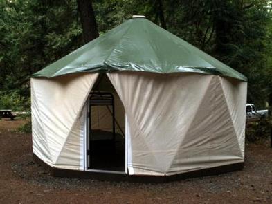
The campground offers single-family sites for tent or RV camping. Narrow roads within the campground make for tricky navigation for larger RVs.
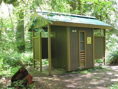
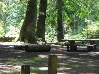
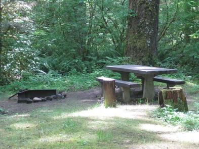
Each campsite is equipped with a table and campfire ring with grill. Accessible vault toilets and drinking water are provided, but utility hookups are not available. Parking surfaces are gravel.
Natural Features
The campground is situated along a scenic bend just above the river at an elevation of about 900 feet. It is in a heavily forested area, with a variety of bushes, ferns and grasses covering the forest floor. Vegetation provides minimal privacy within the campground, but with the river so close, noises within the campground are fairly muffled.
The river provides habitat for the federally protected bald eagle and northern spotted owl, as well as the occasional peregrine falcon. A variety of wildlife also makes its home in the area.
Nearby Attractions
The campground is located about an hour’s drive from majestic Mt. Hood, Oregon’s tallest point.