

Directions
Take I-5 to Highway 12 towards Packwood, then take Highway 21 to FS Road 2160 to the campground.
Phone
541-338-7869
Activities
BOATING, CAMPING, FISHING, SWIMMING SITE
Keywords
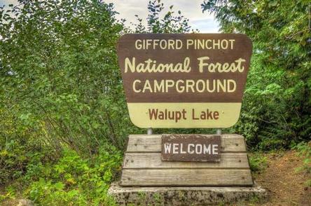
WALP,GIFFORD PINCHOT NF – FS
Related Link(s)
Washington State Road Conditions
Overview
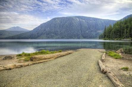
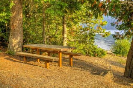
Walupt Lake Campground offers scenic views of Mt. Adams and the surrounding forest on the west end of Walupt Lake. The sites here provide plenty of privacy and ample shade form the surrounding hemlock, cedar and fir trees.
Walupt Lake Campground is a great choice for visitors looking to fish, swim, boat or explore the numerous hiking, biking and horseback riding trails in the area.
Recreation
Anglers can fish for brook, rainbow and cutthroat trout in Walupt Lake. Swimming and the use of motorized and non-motorized boats is also permitted.
Numerous trailheads can be accessed from this campground. Walupt Lake Trail, Nannie Ridge Trail and Coleman Weedpatch Trail are popular hiking and equestrian trails.
Facilities
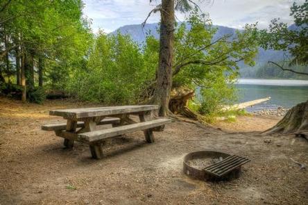
Walupt Lake Campground offers some tent-only sites, but standard sites have gravel spurs that can accommodate RVs between 20-40 feet. Each walk-in tent site along the lake shore has a small beach area.
Campsites include picnic tables and campfire rings. Vault toilets and drinking water are provided on the premises.
A horse camp is adjacent to this campground.
Natural Features
Walupt Lake spans 384 acres and is the second largest lake in the Gifford Pinchot National Forest. The clear mountain waters are popular with anglers who come here to cast for Rainbow and Cutthroat Trout.
This campground is surrounded by the Goat Rocks Wilderness, named for the rugged peaks where numerous mountain goats are found. Scattered throughout the area are alpine meadows, lakes and ponds.
Nearby Attractions
Walupt Lake’s location between Mt. Adams, Mt. Rainier and Mount St. Helens makes it possible to explore any of these areas on a day trip.