


Directions
Located 3.5 miles southwest of Juneau on Douglas Island. Access is by a 3-mile trail on Pioneer Street off Cordova Street in West Juneau or at a trailhead at the end of Jackson Road. The cabin is also accessible by helicopter.
Phone
907-586-8800
Activities
CAMPING, HIKING, WILDLIFE VIEWING, BERRY PICKING, CROSS COUNTRY SKIING, BACKPACKING, SKIING, SNOWBOARDING
Keywords
DLLE,TONGASS NF – FS
Related Link(s)
Overview
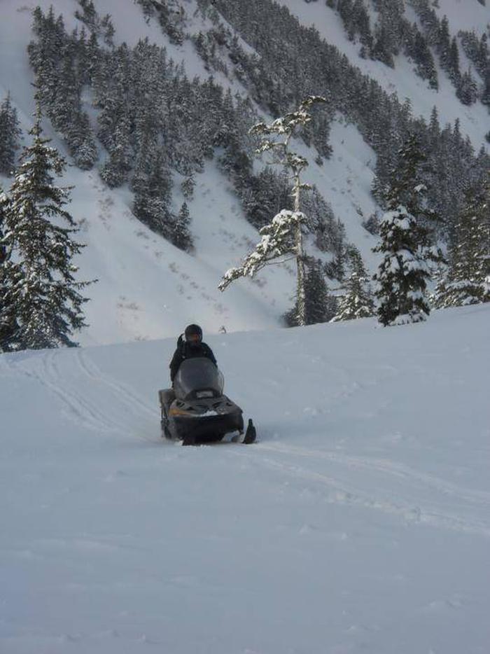
The site is open year-round and can be accessed by hiking, snowmobiling, snowshoeing or skiing. The trail in to the cabin is 3-miles with an 1,800-foot elevation gain. Access by snowmobile is allowed only when snow is at least a foot deep. Visitors are responsible for their own travel arrangements and safety and must bring several of their own amenities.
Recreation
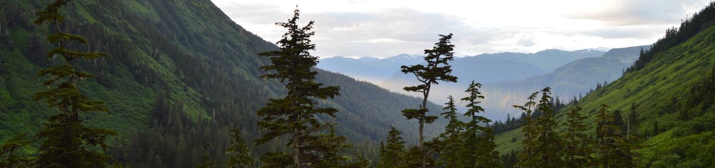
The Dan Moller trail is partially planked and passes through muskeg. Trail planks are slippery when wet or frosty. There is a high avalanche danger in winter and early spring. The trail continues past the cabin and into the mountains overlooking Juneau and Admiralty Island.
Facilities
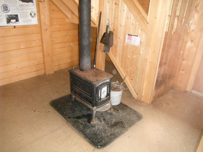
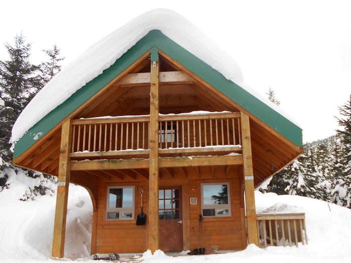
This 16-by-20 cedar cabin sleeps seven and comes equipped with a double and single bunk on the first floor and a sleeping loft that accommodates an additional four people. Other amenities include a table with benches, broom and dustpan, propane furnace, wood stove, snow shovel and an outhouse. Propane is provided for the furnace. A covered deck extends from the front of the cabin and an additional deck extends from the second floor and overlooks the valley. Water, firewood and electricity are not provided. Water is available from a nearby stream uphill from the cabin, but visitors should be sure to treat water before drinking or cooking with it ( water safety tips ). It is recommended that visitors bring their own water supply. Cooking facilities are not available. Visitors should pack sleeping bags, sleeping pads, a cooking stove, lanterns or flashlights, cookware, plates, utensils, food, toilet paper, garbage bags, a fire extinguisher and fire starter. Visitors are expected to pack out trash, empty the cabinets and clean the cabin before leaving. Click here for more cabin details and maps.
Natural Features
The cabin sits at an elevation of 1,800 feet, surrounded by the scenic alpine landscape of central Douglas Island. It is located near the headwaters of Kowee Creek. Views from the front of the cabin reveal snow-capped peaks and evergreen trees.
The access trail to the cabin follows Kowee Creek and features meadows that bloom with summer wildflowers. Wildlife in the area includes black bear, grouse, deer and wolves (bear safety information).