


Directions
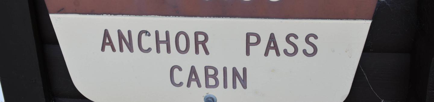
The cabin is approximately 50 air miles north of Ketchikan, located on the mainland shore of Anchor Pass across from the east end of Bell Island. It is accessible by floatplane or by boat. A mooring buoy is provided at the site on a first come-first serve basis. Refer to USGS Ketchikan D-5 and check tide charts to determine best times for arrival and departure.
Phone
907-225-2148
Activities
BOATING, CAMPING, FISHING, HUNTING, WILDLIFE VIEWING
Keywords
ANSS,TONGASS NF – FS
Related Link(s)
Overview
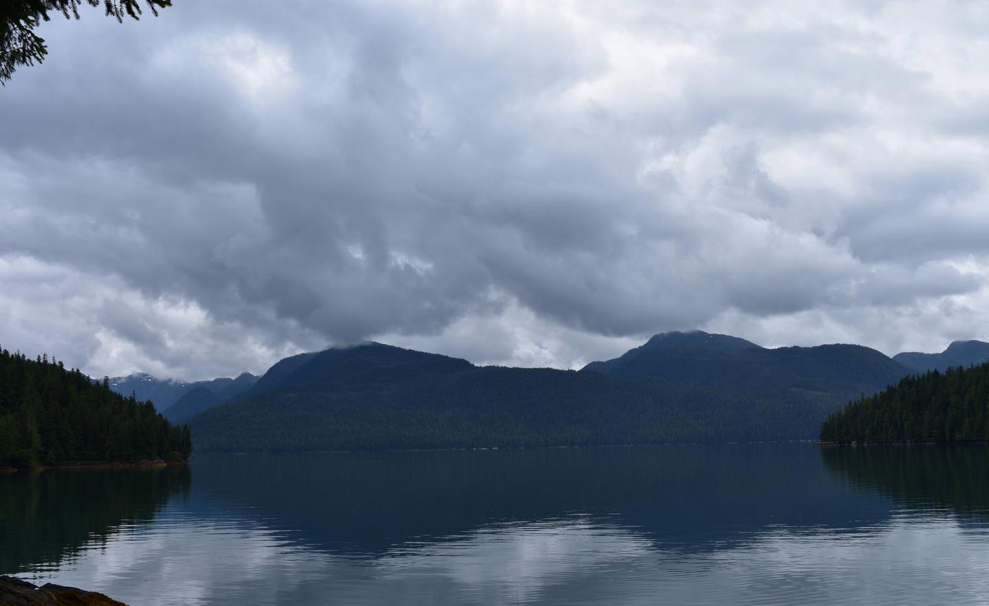
Anchor Pass Cabin is open year-round and serves as a halfway point for those traveling around Revillagigedo Island. This secluded retreat sits on the mainland across from the east end of Bell Island, offering scenic views and myriad recreational opportunities.
The site can be accessed by floatplane, boat or kayak, depending on conditions. Visitors are responsible for their own travel arrangements and safety, and must bring several of their own amenities.
Recreation
This area offers good saltwater fishing for halibut, rockfish, red snapper and salmon, as well as shrimping and crabbing opportunities. There may be some restrictions on sport fishing for salmon in areas close to the cabin.
Sea kayaking is an extremely popular way of getting around, but visitors must provide their own equipment and consult tide charts before setting out (local tide charts).
Hunting is possible in designated seasons with the proper permit.
Facilities
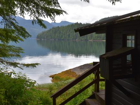
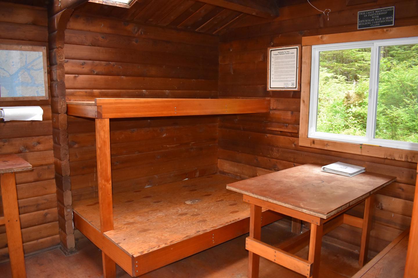
This 12×14-ft. pan-abode style cabin sleeps six and comes equipped with two single bunks, two double bunks, a table and benches, wood stove, splitting maul, cleaning equipment and an outhouse. NOTE: Firewood may be available, but visitors are encouraged to contact the Ketchikan Misty Fjords Ranger District to check the status of the woodshed. A mooring float is available, but it is not for the exclusive use of cabin visitors. Water and electricity are not provided. Water is available from a nearby creek, but must be treated before being used. It is recommended that visitors bring their own water supply. Other items to pack include sleeping bags, sleeping pads, food, cookware, plates, utensils, lanterns or flashlights, toilet paper, garbage bags, a fire extinguisher and fire starter. Visitors are expected to pack out trash and clean the cabin before leaving. Click here for more cabin details and maps.
Natural Features
The cabin is tucked into a forested area on the shore of Anchor Pass. A beach is located in front of the cabin, which may be submerged in high tides. The front deck offers a spectacular view of the mountains of northern Revillagigedo Island.
Wildlife in the area includes Sitka black-tailed deer, mountain goats, wolves and black and brown bears. Many species of waterfowl and marine mammals may be seen in Anchor Pass.