
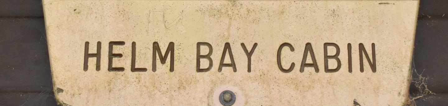
Directions
The cabin is approximately 24 miles from Ketchikan or 12 miles from the Clover Pass area, located on west end of Helm Bay. It is accessible by float plane, kayak or boat with a state-maintained floating dock near cabin. Refer to USGS topographic map for Ketchikan, C-6, and consult local tide tables.
Phone
907-225-2148
Activities
BOATING, CAMPING, FISHING, WILDLIFE VIEWING
Keywords
HEAY,TONGASS NF – FS
Related Link(s)
Overview
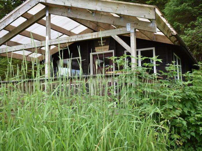
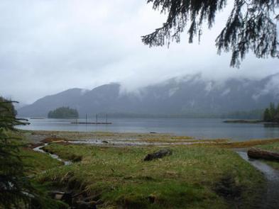
Helm Bay Cabin is located on the west shore of Helm Bay behind Forss Island. This rustic retreat is open year-round for relaxation and recreational use in Alaska’s beautiful Inside Passage.
The site can be accessed by float plane, boat or kayak, depending on conditions. Guests are responsible for their own travel arrangements and safety, and must bring several of their own amenities.
Recreation
Helm Bay is especially known for excellent crabbing, as well as saltwater fishing for salmon, halibut and red snapper. Tide tables should be consulted before taking a boat out on the bay to fish. Sea kayaking is also possible.
Facilities
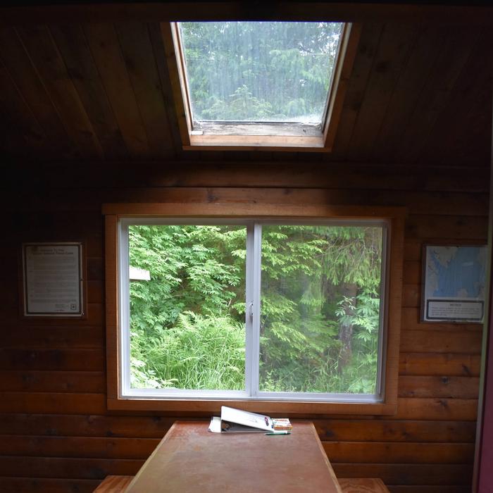
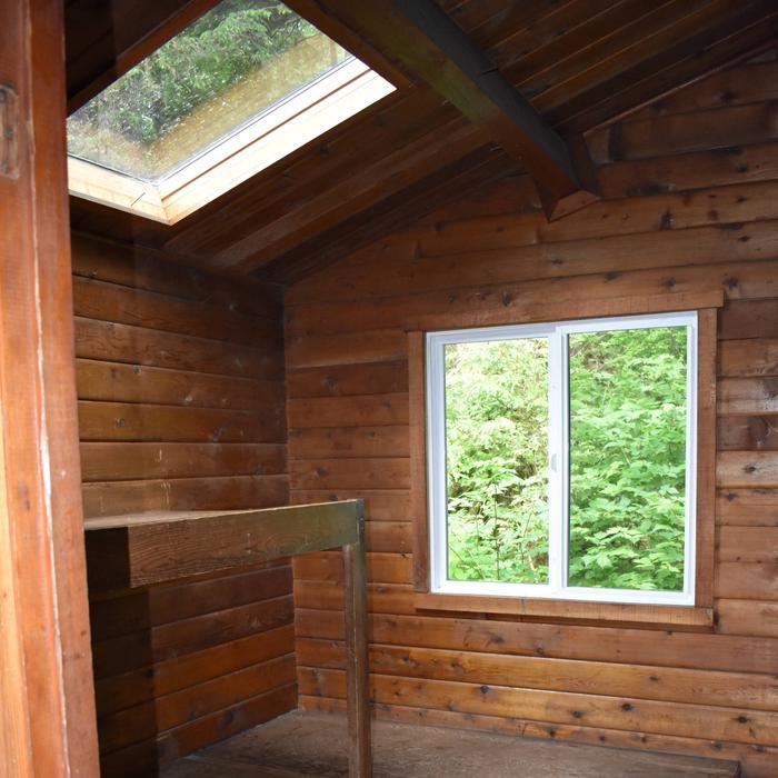
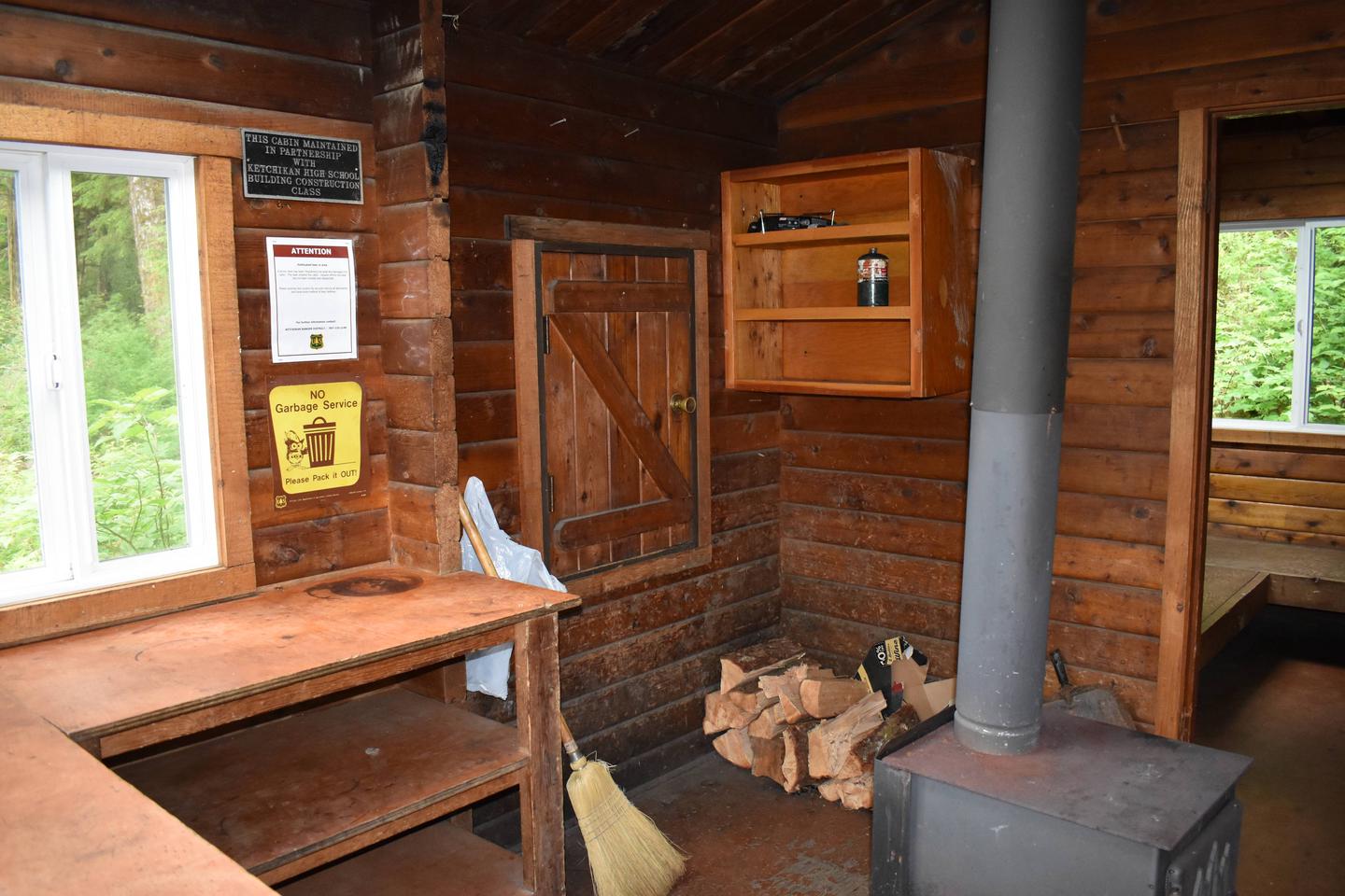
This 16-by-20 ft. three-room (pan-abode style) cabin has four single bunks and two double bunks, to sleep up to eight people. A covered deck extends from the front of the cabin. It is also equipped with a table and benches, wood stove, splitting maul, broom and an outhouse. NOTE: Firewood may be available, but visitors are encouraged to contact the Ketchikan Misty Fjords Ranger District to check the status of the woodshed. A floating dock is located nearby, which is maintained by the state and available on a first-come, first-served basis. Water and electricity are not provided. Water is available from an adjacent creek, but guests should be sure to treat water before drinking or cooking with it (water safety tips). It is recommended that guests bring their own water supply. Other items to pack include sleeping bags, sleeping pads, lanterns or flashlights, cookware, plates, utensils, food, toilet paper, garbage bags, a fire extinguisher and matches, among other necessities. Guests are expected to pack out trash and clean the cabin before leaving (click herefor more cabin details).
Natural Features
The cabin sits at sea level, near a large saltwater tide flat, surrounded by an old-growth rainforest of Sitka spruce and western hemlock. A beach is revealed in front of the cabin at low tide. Guests have views of Helm Bay and the gentle, forested slopes that surround the area.
The area is home to black and brown bears, Sitka black-tailed deer and mountain goats (bear safety information). Seals, whales and other marine mammals may be seen in Helm Bay.