

Directions
Approximately 35 air miles from Ketchikan at the west end of Orchard Lake. Accessible by float plane or boat. A 1-mile trail from Shrimp Bay provides saltwater access. Mooring buoy for boat is located in Klu Bay. Refer to USGS Ketchikan D-5. In fall, winter, and early spring, the cabin may be inaccessible due to frozen lake surface (float planes cannot land). Please contact the Ketchikan-Misty Fjords Ranger District for information prior to making reservations during these periods. Please consult local tide tables before departing for the cabin.
Phone
907-225-2148
Activities
BOATING, CAMPING, FISHING, HIKING, WILDLIFE VIEWING
Keywords
PLTT,TONGASS NF – FS
Related Link(s)
Overview
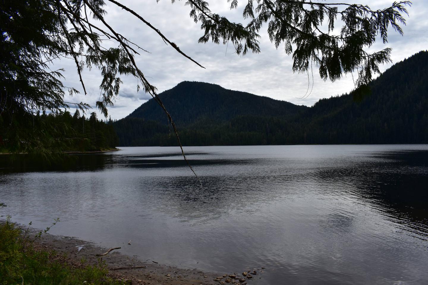
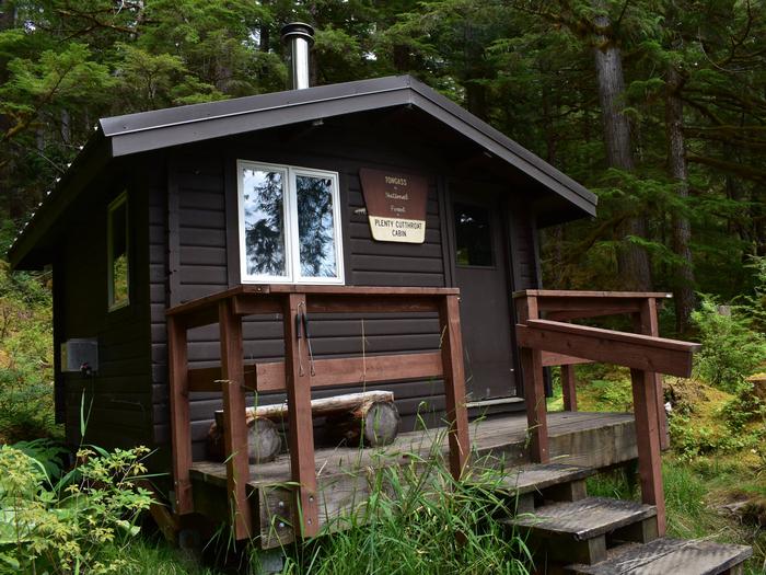
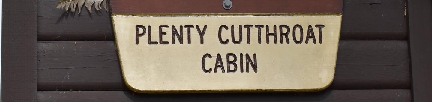
Plenty Cutthroat Cabin is situated at the west end of Orchard Lake on Revillagigedo Island 35 air miles from Ketchikan. The cabin is available year-round and makes an excellent base for experiencing this corner of Alaska with its recreation options, beautiful scenery and abundant wildlife.
The cabin is remote and accessible only by float plane or boat, depending on conditions. Visitors arriving by boat should expect to anchor in Klu Bay and hike 1 mile to the cabin from the Shrimp Bay trailhead.
This primitive cabin has no electricity, indoor plumbing or cell phone coverage. Visitors are responsible for their own travel arrangements and safety, and must bring several of their own amenities.
Recreation
Fishing, hiking and boating are popular options at this cabin. Fishing includes cutthroat trout and kokanee salmon in Orchard Lake. For information about fishing permits and seasons, visit the Alaska Department of Fish and Game website.
A 14-foot aluminum skiff with oars is provided for rowing around the lake, but visitors must provide their own life jackets. The skiff can use a short-shaft motor, which is not provided.
Facilities
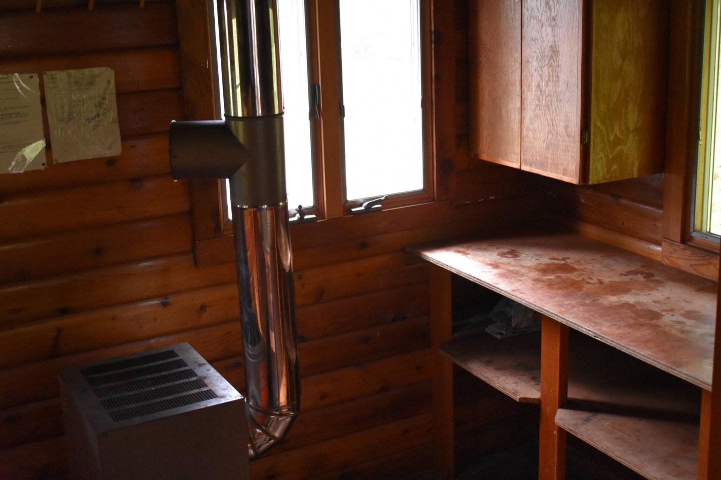
The 12×12-ft. (pan-abode style) log cabin accommodates 6 people with 2 single and 2 double bunks. Other amenities include a table and benches, a cooking counter, food storage, broom and dustpan. An oil stove is provided for heat. An outhouse is located near the cabin.
Drinking water is not available at the cabin. Visitors must bring their own water supply, but water is also available from the lake and nearby creeks (water safety).
Heating oil is not provided. Visitors should bring a supply of #1 diesel oil in an FAA-approved container or jerry jug.
Other items to bring include sleeping bags, sleeping pads, cooking gear, lanterns or flashlights, food, toilet paper, garbage bags, a fire extinguisher and fire starter. Rain gear and boots are recommended. Visitors are expected to pack out their trash, gear and food and clean the cabin before leaving (additional cabin details).
Natural Features
The cabin is tucked into a temperate rainforest of old-growth cedar, Sitka spruce and western hemlock with views of the lake and the forested mountain peaks on the other side. Visitors hiking the trail between Shrimp Bay and the cabin can access an overlook to view one of the twin waterfalls spilling out of Orchard Lake.
The area supports populations of Sitka black-tailed deer, black bear, wolf, beaver, marten, mink and otter (bear safety and precautions). A variety of birds may be spotted in and around the lake.