

Directions
The cabin is approximately 40 air miles east of Ketchikan on the mainland south of the Bakewell Arm of Smeaton Bay. Accessible by float plane, or by mooring boat in Smeaton Bay and canoeing 2 miles to the cabin. This cabin is in a designated Wilderness area, and access by helicopter is illegal. There is no mooring buoy at the Bakewell Lake trailhead. Refer to USGS topographic map, Ketchikan B-2. In fall, winter and early spring, the cabin may be inaccessible due to frozen lake surface (float planes cannot land). Please contact the Ketchikan-Misty Fjords Ranger District for information prior to making reservations during these periods.
Phone
907-228-2148
Activities
BOATING, CAMPING, FISHING, HIKING, HUNTING, WILDLIFE VIEWING
Keywords
BALL,TONGASS NF – FS
Related Link(s)
Overview
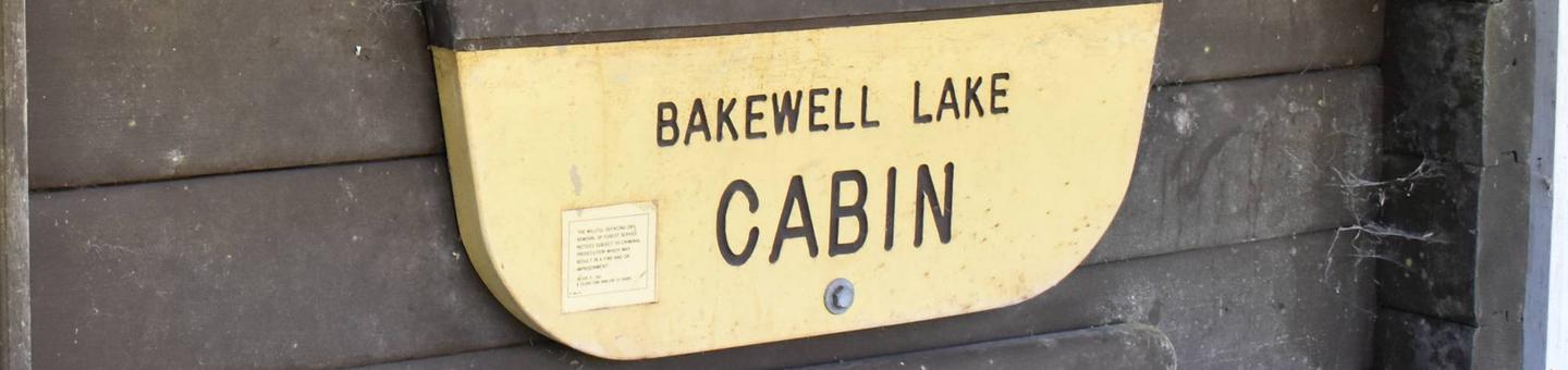
Bakewell Lake Cabin is located on the mainland, near the Bakewell Arm of Smeaton Bay. It is within the Misty Fjords National Monument Wilderness and is an ideal retreat for families with kids or anyone who enjoys relaxing days on the beach. The cabin also offers the chance to enjoy a variety of recreational activities and sightseeing year-round.
The site can be accessed by float plane or by boating into Smeaton Bay and then canoeing or kayaking two miles to the cabin. Guests are responsible for their own travel arrangements and safety, and must bring several of their own amenities.
Recreation
A 14-foot aluminum skiff with oars is available at the cabin, but guests must provide their own life jackets. Anglers can fish for Dolly Varden and cutthroat trout in the lake, with some steelhead likely available near the outlet. From July through September, sockeye, pink, chum and coho salmon make their way to the lake to spawn.
Hikers can access the 1-mile Bakewell Lake Trail at the north end of the lake, which connects the lake to Bakewell Arm. Highlights of the trail include a fish ladder and a 40-foot waterfall. Hunting is also possible in this area with the proper permit.
Facilities
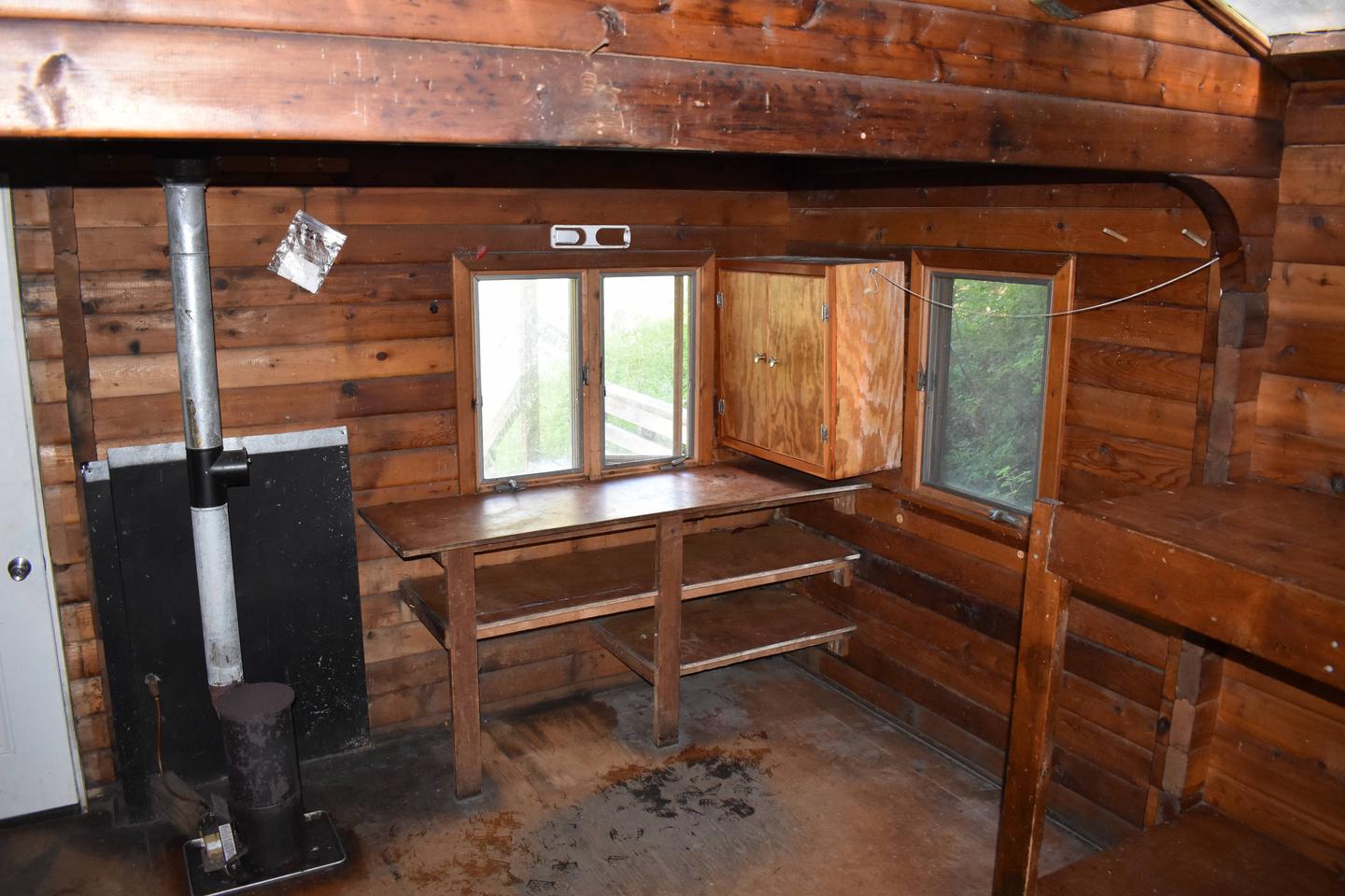
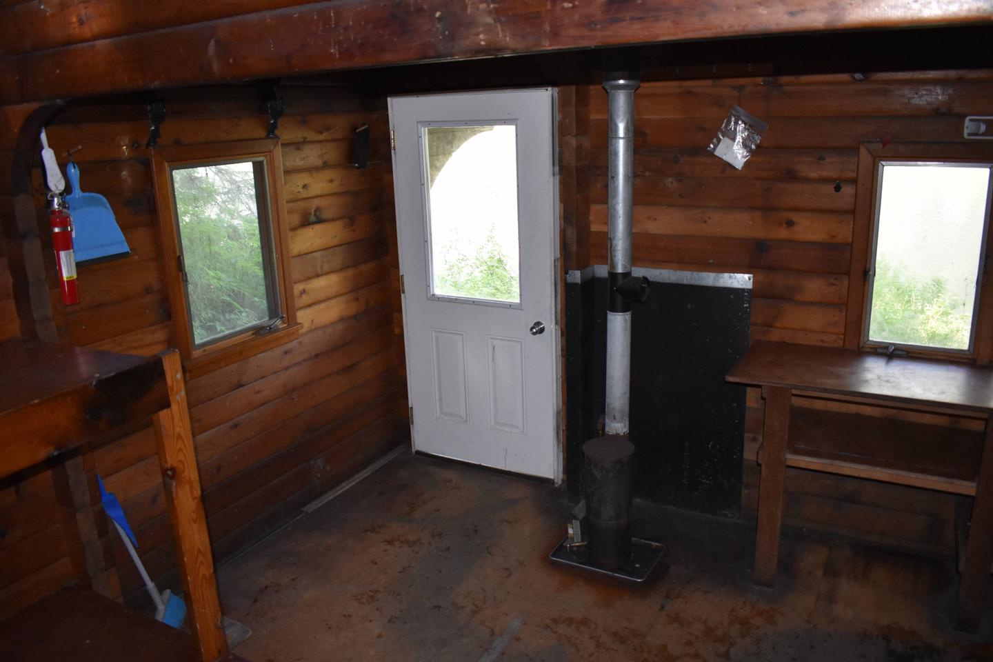
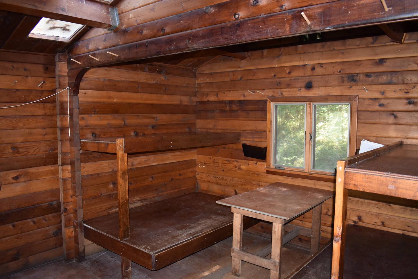
The 12-by-14 cabin ( pan-abode style ) has two single bunks and two double bunks, to accommodate up to six people. It has a table and benches, an oil heater, cleaning equipment and an outhouse. Water, heating oil, and electricity are not provided. Guests must bring a supply of No.1 diesel oil or kerosene for the heater (five gallons will last approximately a week). Water is available from the lake or a nearby creek, but guests should be sure to treat water taken from any natural source prior to drinking or cooking with it ( water safety tips ). It is recommended that guests bring their own water supply. Other items to pack include sleeping bags, sleeping pads, lanterns or flashlights, cookware, plates, utensils, food, toilet paper, garbage bags, a fire extinguisher and matches, among other necessities. Guests are expected to pack out trash and clean the cabin before leaving. Click here for more cabin details and maps.
Natural Features
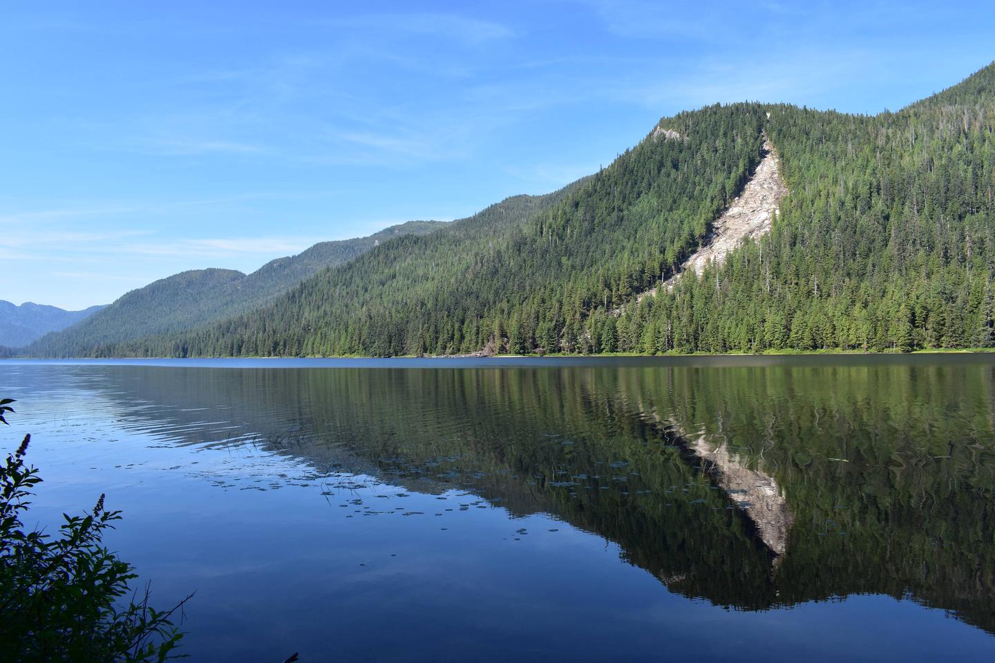
The cabin is surrounded by an old-growth forest of spruce, hemlock and cedar. It offers nice views of Bakewell Lake and the gentle, forested mountain slopes on the other side. A white sand beach is located in front of the cabin.
The surrounding area is home to a large population of brown bears (click here for information on bear safety). Sitka black-tailed deer, beavers, otters, eagles, loons and a variety of other birds also make their home here. Wolves can sometimes be heard in the distance.