


Directions
The cabin is located approximately 28 miles northeast of Ketchikan on Revillagigedo Island on the northwest arm of Manzanita Lake and is accessible by float plane or canoe. In fall, winter, and early spring, the cabin may be inaccessible due to frozen lake surface (float planes cannot land). Please contact the Ketchikan-Misty Fjords Ranger District for information prior to making reservations during these periods. Refer to USGS Ketchikan C-4. This cabin is in a designated Wilderness area, and access by helicopter is illegal.
Phone
907-225-2148
Activities
BOATING, CAMPING, FISHING, HIKING, HUNTING, WILDLIFE VIEWING
Keywords
MANZ,TONGASS NF – FS
Related Link(s)
Overview
Manzanita Lake Cabin is located on the scenic northwest arm of Manzanita Lake approximately 28 miles northeast of Ketchikan on Revillagigedo Island. The cabin offers recreational and wildlife viewing opportunities and makes an excellent base for experiencing this corner of Alaska.
The cabin is remote and accessible only by float plane or canoe, depending on conditions. This primitive cabin has no electricity, indoor plumbing or cell phone
coverage. Visitors are responsible for their own travel arrangements and safety, and must bring several of their own amenities.
Recreation
A 14-foot aluminum skiff with oars is provided for rowing around the lake, but visitors must provide their own life jackets. Visitors can row over and explore the nearby stream inlet delta.
The lake offers excellent fishing for cutthroat trout, Dolly Varden and kokanee salmon. Sitka black-tailed deer and black bear hunting is possible with a permit.
Facilities
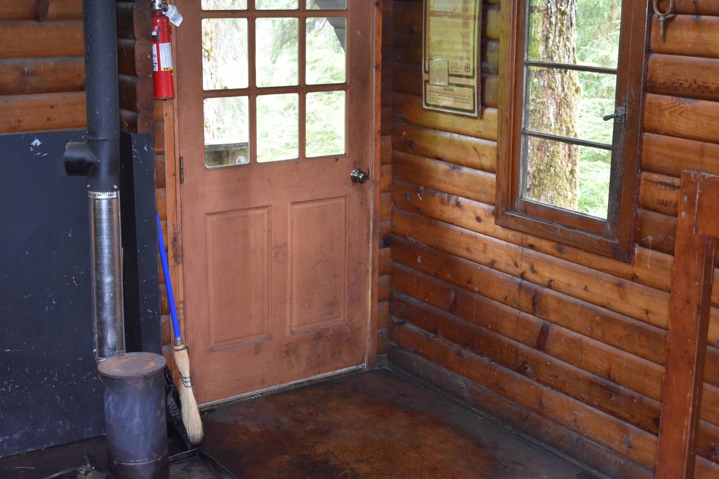
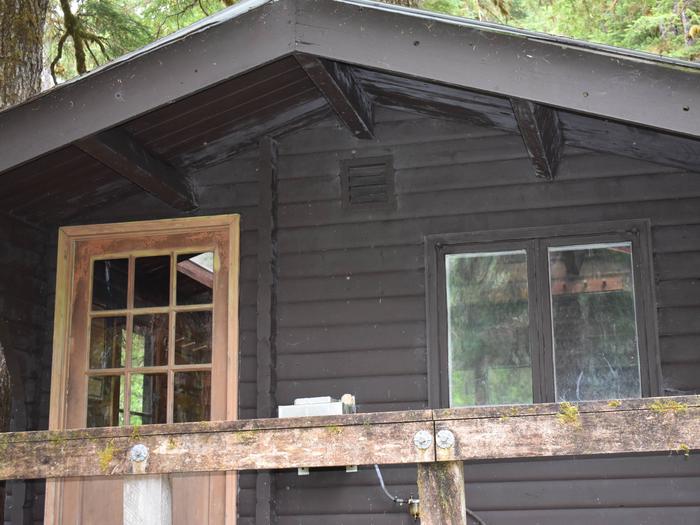
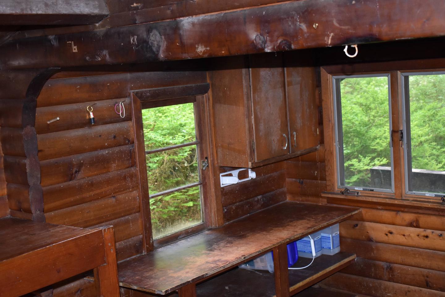
The 12×14-ft. (pan-abode style) cabin can accommodate 6 people with 2 single bunks and 2 double bunks. Other amenities include a table with benches, a cooking counter, food storage, broom and an oil stove for heat. An outhouse is located nearby.
Drinking water and heating oil are not provided. Visitors must bring their own supply of drinking water and #1 diesel oil or kerosene (approximately 5 gallons per week). Water is also available from a nearby stream or the lake (water safety).
Visitors should also bring sleeping bags, sleeping pads, cooking gear, lanterns or flashlights, food, toilet paper, garbage bags, a fire extinguisher and fire starter. Rain gear and boots are recommended. Visitors are expected to pack out their trash, gear and food and clean the cabin before leaving (more cabin details).
Natural Features
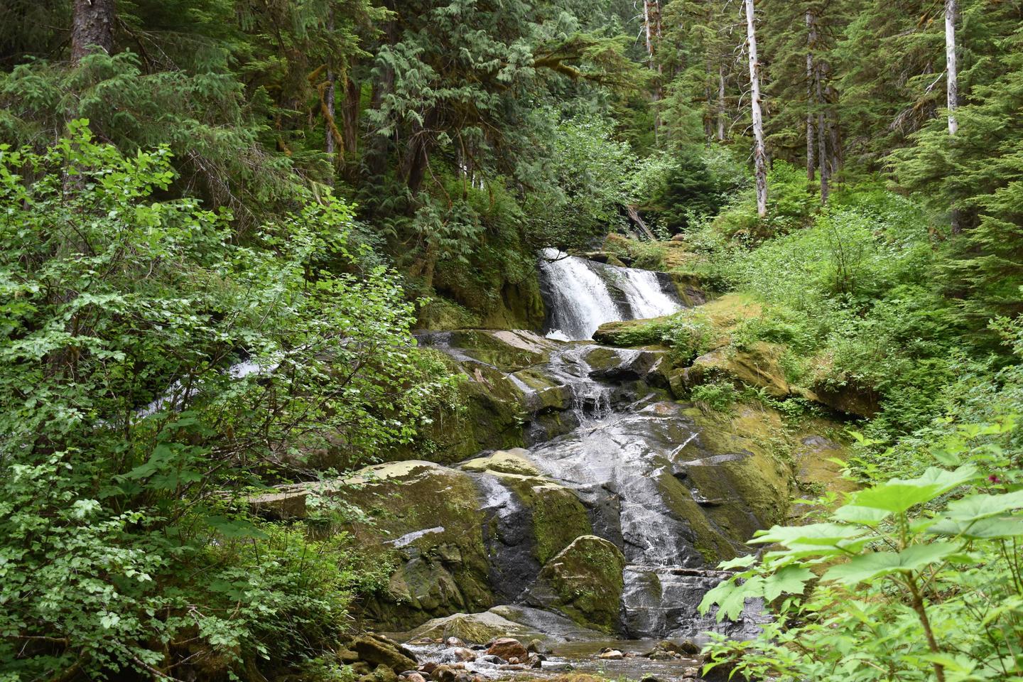
The cabin is located about 100 yards from the lake shore beside a spectacular series of cascading waterfalls. Visitors can also enjoy views of steep granite walls and snow-capped peaks. The cabin is surrounded by large old-growth spruce, hemlock and cedar.
The Misty Fiords Monument Wilderness supports a diverse variety of wildlife. Mountain goats, bears, deer, moose and bald eagles make their home here (bear safety). Many species of birds may be seen in or around the lake, and visitors may catch a glimpse of beavers in the area.