

Directions
The cabin is located 30 miles southeast of Yakutat, 200 feet east of Dangerous River. Access is by jetboat or a 4-mile ATV trail from the Dangerous River Bridge at the end of Forest Highway 10.
Phone
(907) 784-3359
Activities
BOATING, CAMPING, HIKING, HUNTING, WILDLIFE VIEWING
Keywords
MIDR,TONGASS NF – FS
Related Link(s)
Overview
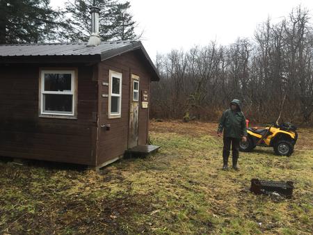
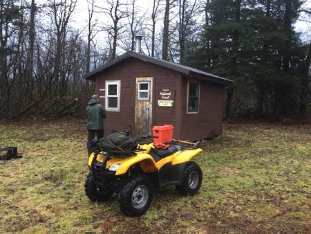
Middle Dangerous River Cabin is situated on the bank of the Dangerous River about 30 miles southeast of Yakutat. This remote retreat is open year-round, offering scenic views, wildlife watching and hunting opportunities. The site can be accessed by jetboat, hiking or ATV aong thel 4-mile trail from the Dangerous River Bridge. Visitors are responsible for their own travel arrangements, and must bring several of their own amenities.
Recreation
The Dangerous River is a large glacial river with numerous logjams, sandbars and floating ice. Non-motorized boats are not recommended, and boaters should use extreme caution when navigating the river. Moose hunting may be excellent.
Facilities
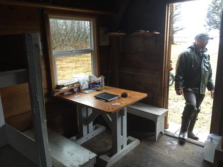
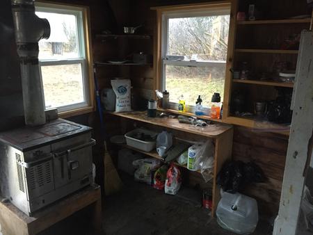
This 12×16-ft. hunter style cabin sleeps four people with four single wooden bunks. The cabin also has a table and benches, an oil heater and food preparation space. An outhouse, campfire ring and 12×12-ft. meat shed are located outside. Water, heating oil and electricity are not provided. Visitors must supply their own drinking water as well as #1 diesel oil or kerosene for the heater. One gallon can last 2-10 hours, depending on the heat setting. Other items to bring include sleeping bags, sleeping pads, food, a cooking stove, cookware, plates, utensils, lanterns, flashlights, toilet paper, garbage bags, a fire extinguisher and fire starter. Visitors are expected to pack out trash and clean the cabin before leaving. Click here for more cabin details.
Natural Features
The cabin sits on flat and wet terrain, surrounded by willow and alder thickets and scattered cottonwood trees. Visitors enjoy spectacular views of the Dangerous River and its many gravel bars, which attract nesting gulls. Brown and black bears are common in this area, and moose can sometimes be seen in the surrounding willow thickets. Sandhill cranes and geese visit the area during spring and fall migration.