


Directions
From Chadwick, Missouri, take Highway 125 south about 2 miles, then turn right onto Highway H and continue past Camp Ridge day-use area, turning right onto Lookout Road (the first portion of lookout road is paved – if you get to the gravel you have gone to far) to Cobb Ridge Recreation Area. Fom Forsyth, take H Highway north approximately 14 miles, turn left onto Lookout Road (the first portion of lookout road is paved – if you get to the gravel you have gone too far) to Cobb Ridge Recreation Area. The campground is approximately .5 miles on Lookout Road from H Highway.
Phone
417-683-4428
Activities
BIKING, CAMPING
Keywords
COBR,Chadwick Motorcycle Area,Cobb
Related Link(s)
Missouri State Road Conditions
Overview
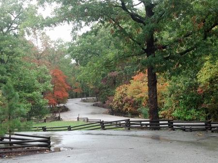
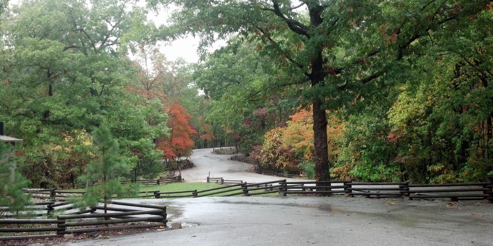
Cobb Ridge Campground is adjacent to the Chadwick Riding area, which is popular among and off-road vehicles (dirt bikes; ATVs and side by sides 50 inches or less) enthusiasts. Numerous trails provide nearly 80 miles of interconnecting loops that vary from easy to difficult terrain, winding in and out of deep, forested hollows and down long ridge tops. Family and group camping is available, providing access to Missouri’s beautiful Mark Twain National Forest.
Recreation
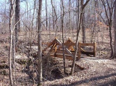
Visitors to the area mostly come for the plentiful off-road vehicle trails (motorcycle; ATVs and side by sides 50 inches or less). Some trail segments are very rocky, steep, rough, rutted and are technically challenging, while others that don’t drain well have been built up with concrete. Hiking on the trails is also permissible but requires caution. If using the trails, you will need a Chadwick riding permit – they are available at our District office; Kay’s Country Store in Chadwick, MO; or Casey’s General Store in Sparta, MO. Cost is $45 for an annual; $7/day for motorcycles, ATVs and side by sides. $3 for mountain bike. You will need make/model and VIN# of vehicle along with rider information. The permit is valid for the machine and cannot be transferred.
Facilities
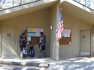
The Cobb Ridge Campground provides a variety of campsite sizes, styles, development and locations. Single, double and triple camp units are designed to accommodate groups of various sizes. Campsites include traditional back-in units and easily maneuvered pull-through units; some with electrical hookups and others with only basic facilities. Tent camping is also an option. At each electric site, there are 30 and 50 amp service along with a 110 outlet.
Most sites are fairly private, but some are close together and open enough to promote visiting between other camps. Additional sites are available on a first-come, first-served basis. When available, an on-site host is at the campground.
The sites are equipped with tables and campfire rings with grills. Flush toilets, vault toilets, and showers are provided. Hydrants are located throughout campground for all campers to use – no individual water hookups available. Trash collection facilities are provided.
Natural Features
The Chadwick area is mostly forested with oak, hickory and pine woods on rocky ridge tops, with a few small open forest glades. Steep ridges break into narrow hollows with scattered surface rock and occasional rock ledges and patches of eastern red cedar.
Nearby Attractions
The campground is 30 miles from Springfield, Branson, Silver Dollar City and Shepherd of the Hills attractions. Lake Taneycomo is 20 miles south of Cobb Ridge.