
Directions
From I-81: Take exit 296 off I-81. Turn east on VA 55 and continue for 1.4 miles. In center of Strasburg (traffic light), turn left to remain on VA 55. After 5.0 miles, turn right onto SR 678 in the small community of Waterlick. The recreation area will be on your left in about 3.5 miles. Entrance to the Elizabeth Furnace Group Campground is on your left.
From I-66: Take Exit 6 (Front Royal) off I-66. Take SR 340/522 South for 1.3 miles until you come to a stoplight. Turn right onto VA 55 west and continue for 5 miles to the small community of Waterlick. Turn left onto SR 678 and the recreation area will be on your left in about 3.5 miles. Entrance to the Elizabeth Furnace Group Campground is on your left.
Phone
540-984-4101
Activities
BIKING, HISTORIC & CULTURAL SITE, CAMPING, FISHING, HIKING, HUNTING
Keywords
EFGC
Related Link(s)
Virginia State Road Conditions
Overview
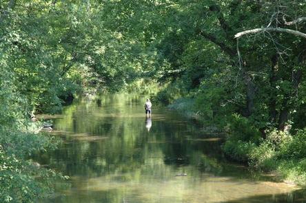
Elizabeth Furnace Recreation Area is a highly esteemed destination known for its family friendly atmosphere. Spend the day fishing from a stocked trout stream, grilling at one of the many picnic spots, or taking a stroll across the swinging bridge to view the historic cabin.
The campground was named for the Elizabeth Furnace, a blast furnace used to make pig iron in the 1800s. With water power from Passage Creek, the furnace purified iron ore to make high-carbon fuel used for forging.
Recreation
Enjoy hiking the Pig Iron and Charcoal Trail to learn how iron was made in the area. Another great hike heads up to Buzzard Rock.
Passage Creek is seasonally stocked with trout to keep anglers entertained.
Facilities
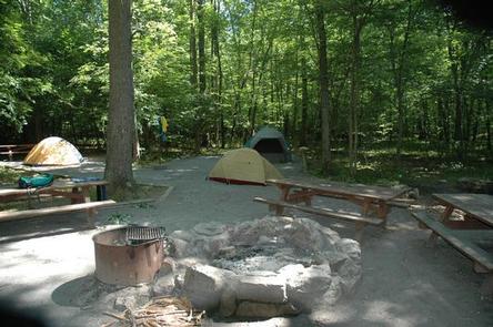
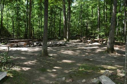
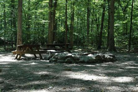
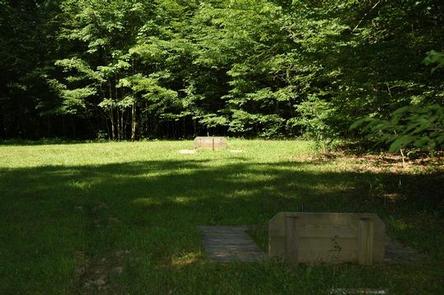
The campground is open year-round and allows tent camping only. Site pads, campfire circles, picnic tables, vault toilets and grills are provided.
Water is not available onsite, but campers have access to seasonal flush toilets and drinking water from a hand pump at the Elizabeth Furnace Family Campground.
Trash collection is not available so please pack-in and pack-out all trash.
Natural Features
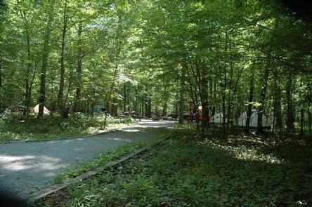
The charming group campground sits in the Shenandoah Valley along Passage Creek, a tributary of the North Fork Shenandoah River. The area is part of the George Washington and Jefferson National Forests which spans across Virginia and parts of West Virginia and Kentucky. These forests protect 40 species of trees that are mostly Appalachian hardwood and mixed pine-hardwood forests, 60 species of mammals and 200 species of birds.