
Directions
From Mesa, Colo., travel south on State Route 65 for about 13 miles to the campground sign. Turn right into the campground.
Phone
970-268-5579
Activities
BIKING, BOATING, CAMPING, FISHING, HIKING, WILDLIFE VIEWING
Keywords
JCCO,Mesa Lakes,Jumbo Campground,Jumbo,Grand Mesa
Related Link(s)
Colorado State Road Conditions
Overview
Jumbo Campground is located on the northern slope of Colorado’s Grand Mesa, in the Mesa Lakes area, which is home to over 300 lakes. Visitors enjoy the area for its great fishing, canoeing and hiking opportunities.
Recreation
Jumbo and Sunset Lakes are open to non-motorized watercraft, making each a perfect place for canoeing and fishing. Anglers cast for brown, brook and rainbow trout. Numerous additional lakes in the area provide still more fishing and canoeing opportunities, as well as beautiful scenery.
The West Bench Trail No. 501 is open to hiking, mountain biking and horseback riding. This popular path stretches several miles through the surrounding area.
Facilities
The campground offers single- and double-family campsites, most of which have electric hookups. A few single sites are accessible. Each site is equipped with a picnic table and campfire ring with grill. Vault toilets, drinking water and trash collection are provided.
Natural Features
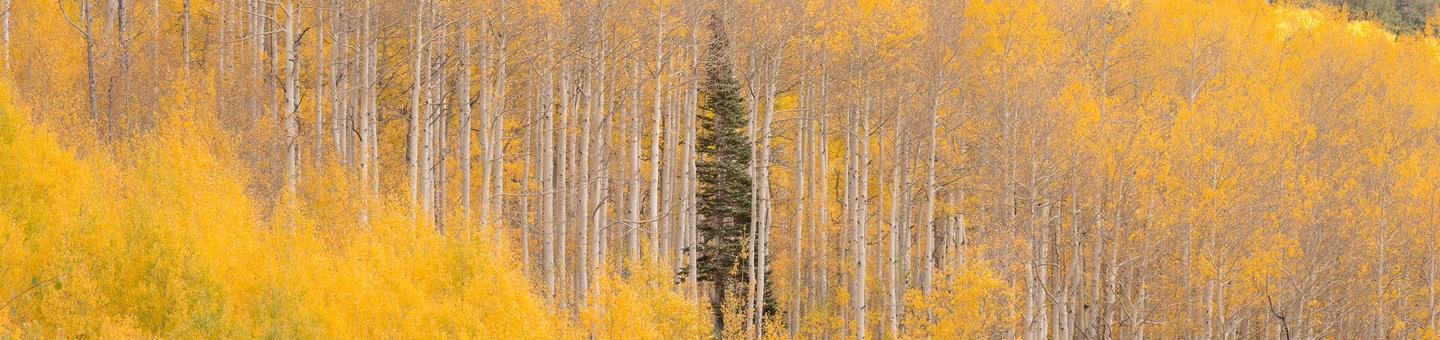
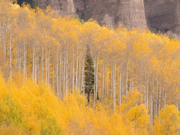
The campground is situated between Jumbo and Sunset Lakes along the Grand Mesa National Scenic and Historic Byway, at an elevation of 9,800 feet. A forest of mature spruce and aspen trees covers the area. Most sites have views of the lakes.
A variety of wildlife, including deer and elk, frequents the area.
Nearby Attractions
The Grand Mesa National Scenic and Historic Byway offers 63 miles of scenic driving as it climbs from the rugged canyon floor, up to the forested mesa tops at 11,000 feet. The road passes sparkling lakes and meadows bursting with wildflowers. Many trailheads can be found along the byway.
Grand Mesa Visitor Center is a short drive from the campground, at Island Lake. The center offers interpretive exhibits, a bookstore and a high-altitude wildflower garden containing over 50 native species.
The town of Cedaredge is 26 miles from the campground. It is home to Pioneer Town, a 19th Century village with frontier museums and more than 20 structures. A historic schoolhouse, blacksmith shop, saloon and jail can be seen in the town. Cedaredge’s "Applefest" festival is held annually in October.