

Directions
From Cody, Wyo., follow Sheridan Avenue west through Cody until the road leaves town and becomes the Buffalo Bill Cody Scenic Byway (U.S. Highway 14/16/20). The campground is located almost 49 miles west of Cody, on the south side of U.S. Highway 14/16/20, next to the Shoshone River.
Phone
307-527-6921 – THIS NUMBER IS NOT FOR RESERVATIONS. FOR RESERVATION OR INQUIRIES ABOUT RESERVATION STATUS, GO TO RECREATION.GOV 1-877-444-6777
Activities
HISTORIC & CULTURAL SITE, CAMPING, FISHING, HIKING, WILDLIFE VIEWING
Keywords
None
Related Link(s)
Overview
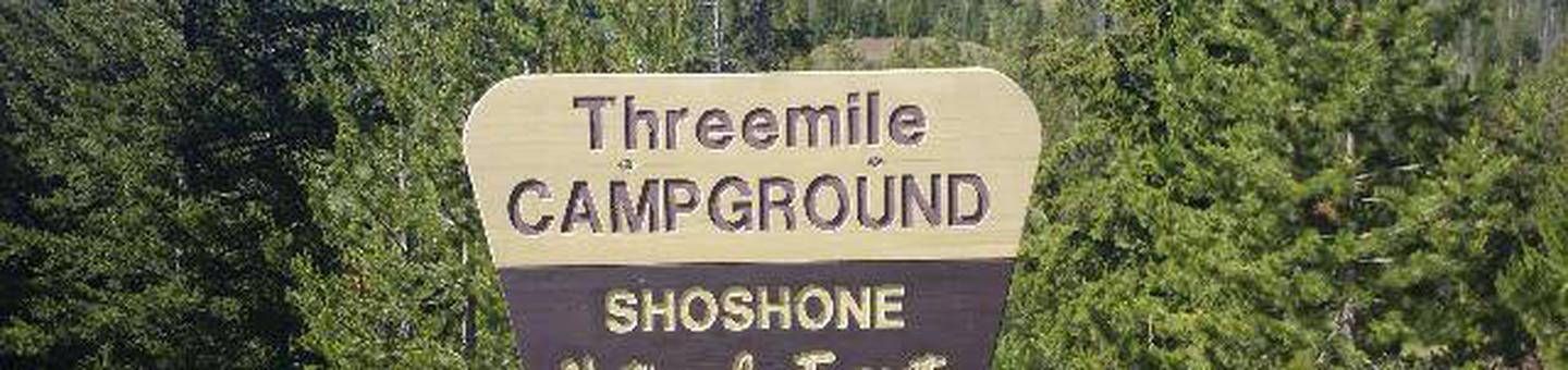
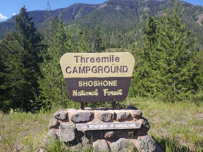
Threemile Campground is located just three miles from the east entrance of Yellowstone National Park, and 50 miles from the full service gateway community of Cody, in northwestern Wyoming. The area is an ideal destination for a family getaway, with many opportunities for outdoor recreation. Hard-sided camp trailers and RVs are required.
Recreation
Great opportunities for hiking, fishing, scenic driving and wildlife viewing are available around the campground. The North Fork of the Shoshone River is a popular fly-fishing location for rainbow and Yellowstone cutthroat trout. The nearby Pahaska Trail provides access into the North Absaroka Wilderness Area.
Facilities
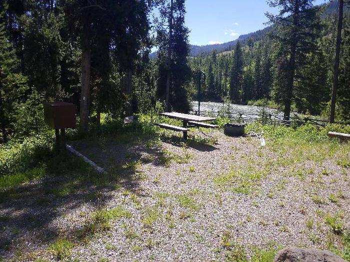
The campground offers family campsites for hard-sided camp trailers and RVs. Some sites overlook the river. Each site is equipped with a table, campfire ring and food storage locker. Vault toilets, hand-pumped drinking water (two spigots, one spigot is accessibiliy compliant) and trash collection are provided. Campers may gather firewood in the area.
Natural Features
The campground is situated along the North Fork of the Shoshone River and has beautiful views of the surrounding mountains. A forest of lodgepole pine covers the campground, which sits at an elevation of 6,700 feet.
A wide variety of wildlife lives in the area. Visitors often glimpse grizzly bears, deer, elk, bison, moose, fox, coyotes and bald eagles.
Nearby Attractions
Pahaska Tepee is just a mile west of the campground. This historic site is home to Buffalo Bill’s original hunting lodge, built in 1904. Tours are offered daily between Memorial Day and Labor Day. Pahaska also offers guided horseback rides, a gift shop, restaurant and lodging.
Yellowstone National Park’s east entrance is three miles from the campground via the Buffalo Bill Cody Scenic Byway. The park offers unparalleled wildlife viewing opportunities, as well as breathtaking scenery and unique geological features.
The small, historic city of Cody offers a variety of dining, lodging and shopping options. The Buffalo Bill Historical Center offers extensive displays of Greater Yellowstone natural history, Plains Indians artifacts, western art, firearms, Buffalo Bill memorabilia and a wild sheep exhibit.