
Directions
From Los Angeles, CA: head south on I-15 Fwy, go east on Hwy 76 for approximatley 20 miles, turn left onto South Grade Rd. (S6), follow South Grade up to the top of Palomar Mountain. Once at the top, turn left to continue on South Grade Rd/ Canfield Rd. Continue for approximately 2.5 miles and turn left into Fry Creek Campground, approximatley 0.25 miles past Observatory Campground.
From San Diego, CA: Head north on I-15 Fwy, go east on Hwy 76 for approximatley 20 miles, turn left onto South Grade Rd. (S6), follow South Grade up to the top of Palomar Mountain. Once at the top, turn left to continue on South Grade Rd/ Canfield Rd. Continue for approximately 2.5 miles and turn left into Fry Creek Campground, approximatley 0.25 miles past Observatory Campground.
Phone
7607880250
Activities
CAMPING
Keywords
fry creek,fry campground
Related Link(s)
California State Road Conditions
Overview
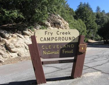
Fry Creek Campground is situated in the heart of Cleveland National Forest, uniquely located down the road from the world-famous Palomar Observatory. The fresh, clean air of the campground provides a refreshing getaway for visitors from San Diego and Los Angeles.
The observatory, atop Palomar Mountain, boasts five high-tech telescopes, among them, the massive 200-inch Hale Telescope, was the world’s largest effective telescope for about 45 years. The observatory is owned by the California Institute of Technology and astronomical research includes near-Earth asteroids and the study of distant galaxies.
Recreation
At Observatory Campground, the site across from Fry Creek, there’s a popular astronomy event called Explore the Stars.
Amateur astronomers gather here with their telescopes and share views of planets and constellations with visitors. The event takes place one weekend each month, April through October.
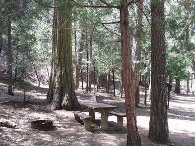
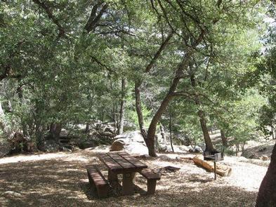
Facilities
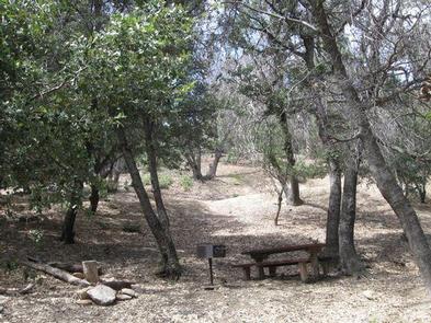
A loop hike, great for exploring local flora and fauna, surrounds Fry Creek.
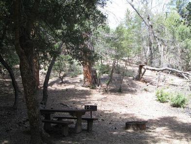
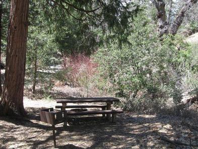
The campground sits beneath a dense pine canopy, which is not ideal for stargazing, but Observatory Campground across the road has level cement platforms for telescopes and an amphitheater that’s open to campers.
Natural Features
Fry Creek is at a 4,900 ft. elevation on Palomar Mountain. The area is dense with evergreen and oak, and is usually cooler than the surrounding area.
Nearby Attractions
The visitor center at Palomar Observatory is 2.2 miles away and can be accessed by road or by hiking trail. A restaurant and gift shop are onsite.