

Directions
GPS information is provided as verification of Shelter # 1, which is near Shelter #2. Users are asked to help protect park resources by using the trail system when accessing the shelters or other park features. Trail maps can be obtained at the park Visitor Center or downloaded from the Catoctin Mountain Park Website, www.nps.gov/cato. Hilly terrain and the forest canopy can prevent satellite signals from reaching your unit increasing the importance of a back-up strategy.
Take route 77 west 5 miles to Foxville Road, turn right and follow signs to Camp Round Meadow parking area.
Phone
301-663-9388
Activities
CAMPING, HIKING, DAY USE AREA
Keywords
CATOCTIN MOUNTAIN PARK ADIRONDACK SHELTERS
Related Link(s)
Maryland State Road Conditions
Overview
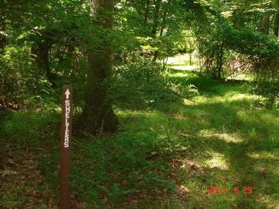
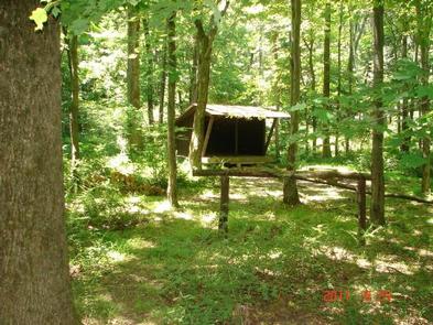
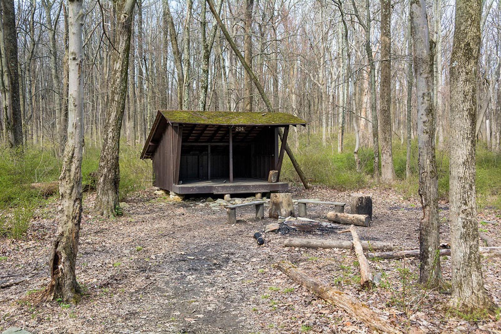
The Adirondack Shelters, located near the northern most point of Catoctin Mountain Park, provide a destination for true nature immersion and an alternative to drive-up camping. A moderate three-mile uphill hike over rocky but generally gently rolling terrain leads to the three-sided shelters similar to those found on the Appalachian Trail.
At Catoctin Mountain Park, the beauty and solitude of nearly 6,000 acres of mature Eastern Hardwood Forest beckon visitors in need of an escape.
Recreation
The shelters are for backcountry hikers looking for a remote getaway. Birding and wildlife watching are some favorite activities.
Catoctin offers a 25-mile hiking trail system, picnic areas, cabin camps and a traditional campground.
Facilities
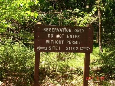
This is a rustic camp area with no water and a pit toilet shared between the two shelters. Campers must carry adequate drinking water and supplies and pack trash out at the conclusion of their stay. The two shelters are several hundred feet apart, making them close enough for groups to use both, but far enough away to offer privacy.
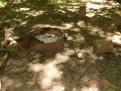
The sites are available year-round and each fit five campers. Campfire rings are provided.
Natural Features
Located about 60 miles from Washington, DC and Baltimore, Maryland, Catoctin Mountain Park lies within the mountainous Blue Ridge Province of north-central Maryland. Scenic overlooks extend across the Monocacy Valley.
Nearby Attractions
Head to Wolf Rack for scenic vistas and thrilling rock climbing and rappelling. Or tour the Historic Camp Misty Mount, which is listed in the National Register of Historic Places.