
Directions
Routes to Cedar Breaks National Monument Traveling south on I-15: Take exit 78 to Parowan Travel south on Main Street for 1.3 miles Turn left onto E. Center Street. Travel 0.3 Miles Turn right onto Utah Highway 143 East Continue approximately 15 miles to Cedar Breaks National Monument Traveling north on I-15: Take exit 57 to Cedar City Travel north on Main Street for 2.2 miles Turn right onto E Center Street/Utah Highway 14 Continue east on Utah Highway 14 for approximately 18 miles Turn left onto Utah Highway 148 and continue 4 miles to Cedar Breaks National Monument Traveling south on U.S. Highway 89: At Panguitch, turn right onto Utah Highway 143 West Continue west for approximately 32 miles to Cedar Breaks National Monument Traveling north on U.S. Highway 89: At Long Valley Junction, turn left onto Utah Highway 14 West Continue west for approximately 23 miles Turn right onto Utah Highway 148 and continue 4 miles to Cedar Breaks National Monument From Bryce Canyon National Park: (60 miles) Travel west on Utah Highway 12 for 13.6 miles Turn right onto U.S. Highway 89 and continue north for 6.9 miles to Panguitch At Panguitch, turn right onto Utah Highway 143 West Continue west for approximately 32 miles to Cedar Breaks National Monument or Alternate route: Travel south on U.S. Highway 89 and take Utah Highway 14 West. Continue west for 23 miles. Turn right onto Utah Highway 148 and continue 4 miles to Cedar Breaks National Monument. (72 miles) From Zion National Park, Springdale: (79 miles) Travel east on Utah Highway 9 for approximately 23 miles Turn right on U.S. Highway 89 Continue north for 23 miles and turn left on Utah Highway 14 Continue west on Utah Highway 14 for 23 miles Turn right onto Utah Highway 148 and continue 4 miles to Cedar Breaks National Monument From Zion National Park, Kolob Canyons: (45 miles) Travel north on I-15 and take exit 57 to Cedar City Travel north on Main Street for 2.2 miles Turn right onto E Center Street/Utah Highway 14 Continue east on Utah Highway 14 for approximately 18 miles Turn left onto Utah Highway 148 and continue 4 miles to Cedar Breaks National Monument
Phone
435-586-0787 X 4031
Activities
BIKING, CAMPING, INTERPRETIVE PROGRAMS, HIKING, PICNICKING, VISITOR CENTER, WILDLIFE VIEWING, DAY USE AREA, PHOTOGRAPHY, STAR GAZING, BIRDING
Keywords
Cedar Breaks National Monument,Point Supreme Campground,Point Supreme
Related Link(s)
Overview
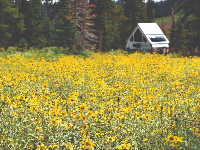
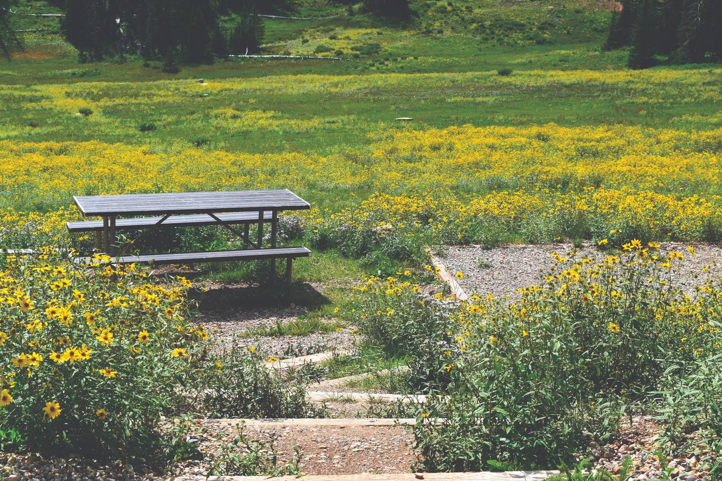
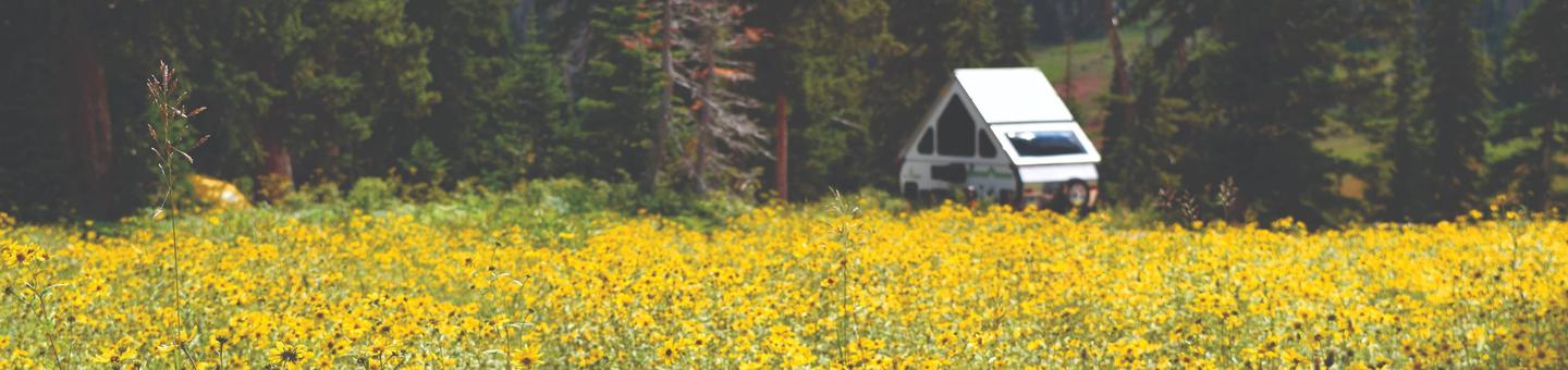
The Point Supreme Campground in Cedar Breaks National Monument offers a camping experience at 10,000 feet in elevation. Available approximately from mid-June to late-September. Visitors can enjoy a variety of hiking trails, ranger programs and breathtaking scenery.
Recreation
Visitors will always find something to do at Cedar Breaks: including daily ranger programs, guided hikes, wildflower identification, wildlife viewing, photography, star gazing, junior ranger activities, and more!
Facilities
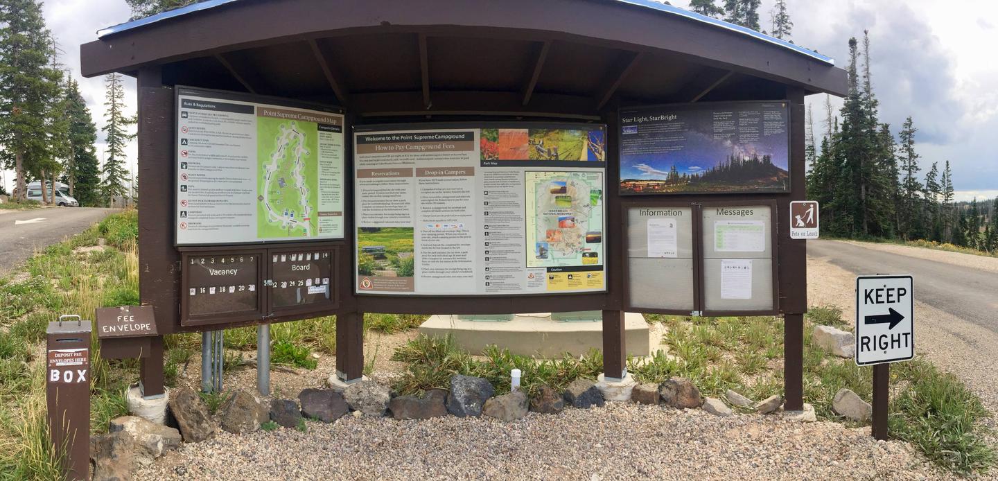
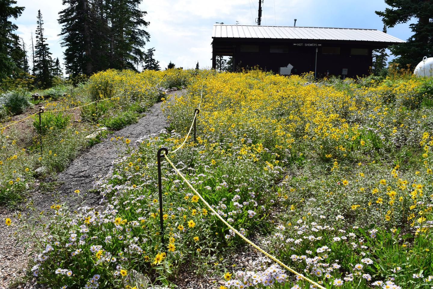
Restrooms with warm water and flush toilets are available. Showers accessed using a door code (ask campground host for code) are also available for campers. Firewood is available onsite by donation. Two of our camping spots are wheelchair accessible. Three of the parks four hiking trails are within walking distance.
Natural Features
Cedar Breaks National Monument offers a spectacular view of deserts, forests, meadows and rocky spires. Come stand above 10,000 feet on while looking into a desert amphitheater filled with incredible, multi-colored hoodoos.
Nearby Attractions
The Point Supreme Campground is conveniently located near Brian Head Ski Resort, Navajo Lake, Mammoth Cave, Duck Creek Village, the Parowan Gap, Panguitch Lake, Bryce Canyon National Park, and Zion National Park. The Utah Shakespeare Festival is held annually during the summer and fall month in nearby Cedar City.
Charges & Cancellations
- There are NO refunds for drop-in camping paid using the campground honor fee envelopes.
- Campsites reserved online cannot be switched for drop-in or other vacant sites after arrival.