
Directions
From I-35, take exit 90 to Ankeny/Oralabor Road and go west for 4.8 miles. The road turns into Highway 415. Turn left onto 37th Street, then turn right onto Horseshoe Road. Turn right and drive across the Saylorville Lake Dam to the campground.
Phone
515-276-0873
Activities
BIKING, BOATING, CAMPING, FISHING, HIKING, HUNTING, WATER SPORTS, SWIMMING SITE
Keywords
BOBS,SAYLORVILLE,RIVER VALLEY CAMPGROUND,FISHERMANS CAMPGROUND,SAYLORVILLE LAKE
Related Link(s)
Overview
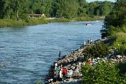
Bob Shetler Recreation Area is located in the tailwater area below the 26,000-acre Saylorville Lake Project, which stretches more than 50 miles up the Des Moines River Valley.
The lake provides a wide variety of recreational activities, including boating, swimming, fishing, hiking and hunting.
Recreation
Visitors enjoy Saylorville Lake for its excellent boating, sailing, water skiing, windsurfing and swimming opportunities. Anglers will find walleye, wiper, largemouth bass, catfish, crappie and northern pike. The paved Neal Smith Trail winds 24 miles from Des Moines to Big Creek State Park and connects the campgrounds on the east side of the lake. It is designated as a National Recreation Trail and is used for biking, hiking, jogging, walking and in-line skating.
Facilities
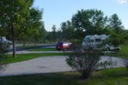
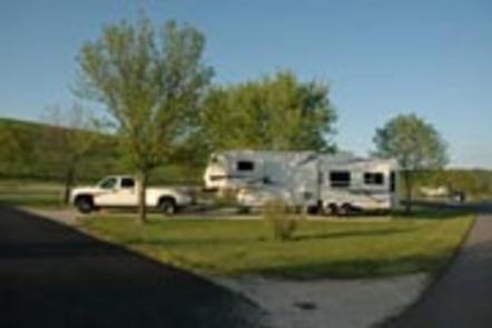
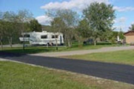
The campground offers 67 camping sites, all with electric hookups. Amenities include flush and pit toilets, showers, drinking water and a dump station. Nearby amenities include a visitor center, hiking trail, volleyball courts and a disc golf course. Boat ramps and an accessible fishing dock are also close by.
Natural Features
Large shade trees dot the open grassy areas of the campground, which offers excellent views of the Des Moines River. Most campsites are within easy walking distance of the shore. Wildlife is abundant throughout the project. White-tailed deer, turkeys, waterfowl and other small game animals roam the lands around the lake.