
Directions
From I-70, take State Route 127 south to Carlyle and turn east on William Road. Continue for 1/2-mile and turn north on Lake Road to reach the campground or turn south to reach the day use area.
Phone
618-594-4410
Activities
BIKING, BOATING, CAMPING, FISHING, DAY USE AREA, SWIMMING SITE
Keywords
DAWR,CARLYLE LAKE
Related Link(s)
Illinois State Road Conditions
Overview
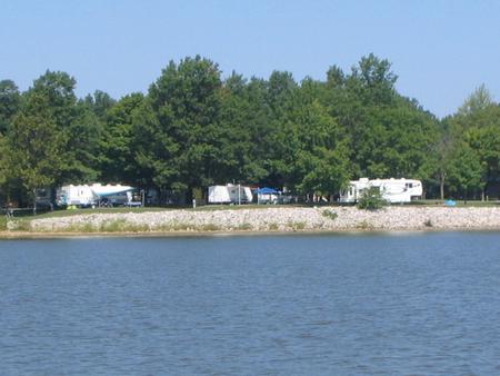
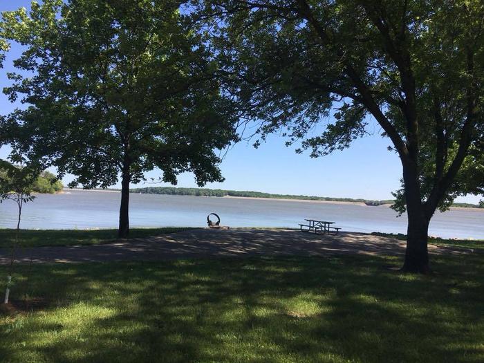
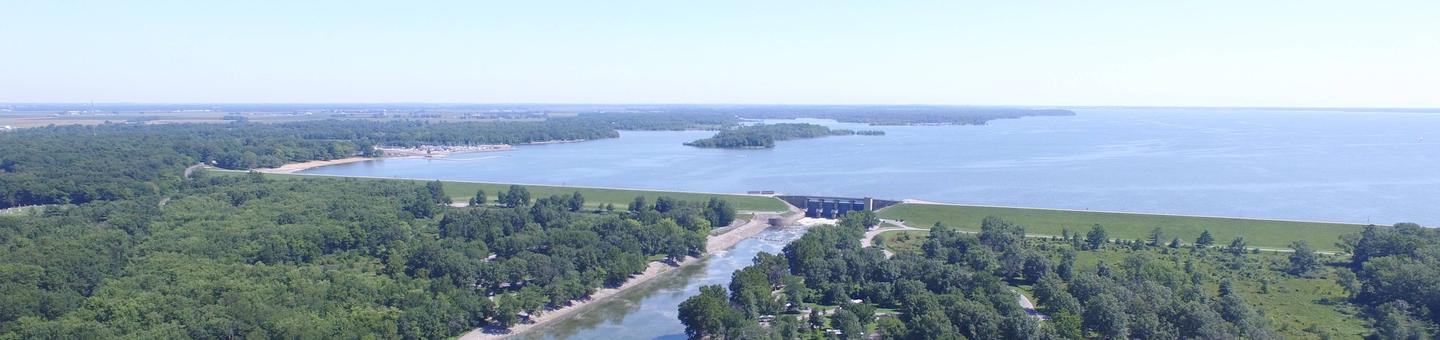
Dam West Recreation Area is a campground and day-use area situated on the southern shore of Carlyle Lake, a prime getaway for city-dwellers and families. Located 50 miles east of St. Louis, the area offers the peaceful retreat of a small town combined with the grandeur of Illinois’ largest man-made lake.
Recreation
The campground provides fun both on the water and on shore. Boat ramps and courtesy docks are provided, and the vast lake allows for plenty of water sports.
Fishing is a popular pastime, and white bass, bluegill, crappie, channel catfish, largemouth bass, freshwater drum, carp, flathead catfish and walleye can be found in abundance.
There is an on-site playground and plenty of open space for children to play in, as well as an amphitheater for educational programs. A multi-use biking and walking trail is located a short drive away at the dam.
Facilities
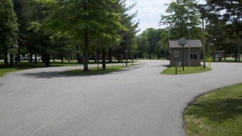
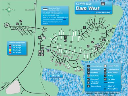
This facility consists of a day use area and campground, including 109 campsites (65 reservable, and 44 non-reservable). It provides modern amenities and access to a marina and boat storage facility. The adjacent Dam West Spillway and Day Use Areas offer additional recreational opportunities. Visitors can also walk or bike across the dam to the Dam East facilities and McNair Group Area.
Natural Features
Created in 1967, the 26,000-acre lake is recognized as one of the nation’s top ten inland sailing lakes and hosts several annual races and regattas.
Carlyle Lake is home to an array of wildlife that can be seen throughout the year. Its waters and shores are a resting spot for migratory waterfowl and other birds. There are six established Watchable Wildlife Sites with viewing towers open to the public around the lake.
Nearby Attractions
Carlyle Lake Visitor Center, located in the Dam West Recreation Area, has information, a gift shop and nature exhibits, including a 215-gallon aquarium with native fish and a display featuring a live massasauga rattlesnake.