
Directions
From Bristow, go 9 miles east and turn left on to 257th West Ave. Follow the paved road about 3 miles to the campground.
From Sapulpa, take State Highway 66 west to Kellyville, turn west on to 151st South Ave and go about 3.5 miles to the 4 way intersection. Turn right and stay on the paved road for about 2 miles until you reach the park.
Phone
918-247-6601 918-865-2621
Activities
CAMPING, FISHING, DAY USE AREA, SWIMMING SITE, PHOTOGRAPHY, PADDLING, MOTOR BOAT, PADDLE BOATING, KAYAKING, BIRDING, WATER ACCESS, WATER SKIING
Keywords
HEYB,HEYBURN LAKE,HEYBURN LAKE
Related Link(s)
Oklahoma State Road Conditions
Overview
Heyburn Park on Heyburn Lake is in Creek County, best known as Oklahoma’s former Indian Territory. Many of the towns surrounding the lake began as trading posts for the railroad in the 19th century.
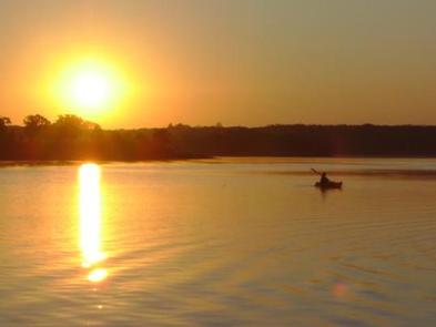
Recreation
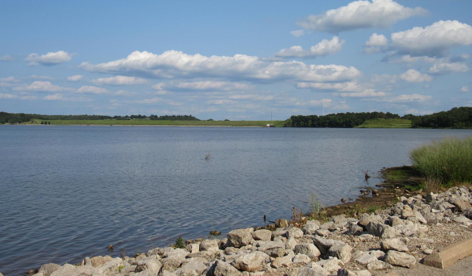
Boating, water skiing and fishing are all popular activities on Heyburn Lake. Common catches include crappie, bass and catfish.
During hunting season, project lands provide opportunities for waterfowl and whitetail deer. Heyburn Public Hunting Area covers more than 6,000 acres of project lands and provides hunting opportunities for squirrel, rabbit, quail, waterfowl and wild turkey.
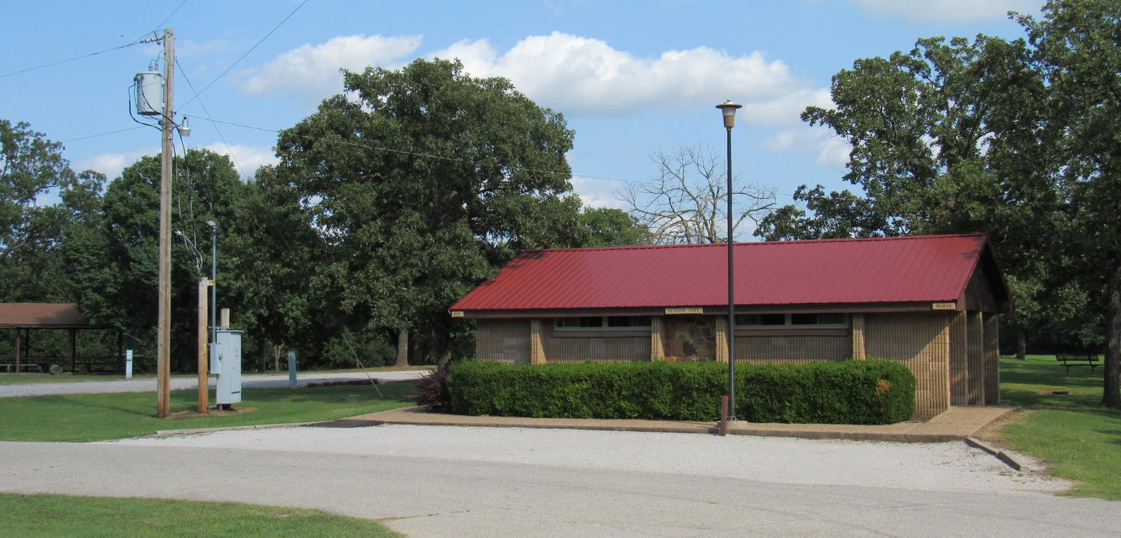
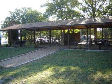
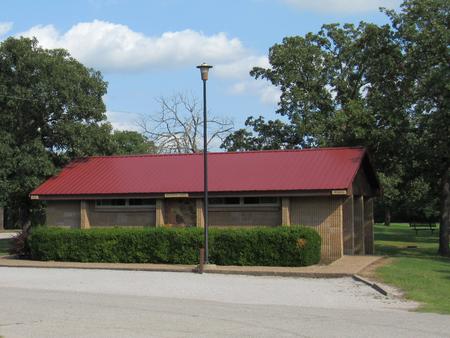
Facilities
The campground has 46 campsites with water and electric hookups, some of which have 50 amp service. Two group shelters, one with 50 amp camping sites and one day-use shelter by the swim beach, are available.
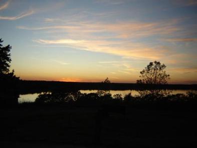
Natural Features
Heyburn lies in a picturesque setting of grasslands and gently sloping, sandstone hills covered with oak trees and scattered with hickory, ash, elm and cottonwood.
In the spring, flowering wild plum and redbud trees add color to the soft, green landscape.
Nearby Attractions
Visitors can explore the various parks of Heyburn Lake including Sunset Bay, Overlook and Sheppard Point. Keystone Lake lies about 25 miles to the north and Tulsa is less than 30 miles northeast.