LAKESIDE (OK), OK Campground Reservation, Info, Images, Map, Directions

LAKESIDE (OK), Oklahoma Campground Images, Info & Reservations

Listen

Directions

From Durant, Oklahoma, travel 10 miles west on HWY 70 to Streetman Road. Turn south on Streetman Road and follow it 4 miles to the park entrance.

Physical address: 3991 Streetman Road, Mead, OK 73449

Phone

580-920-0176

Activities

CAMPING

Keywords

LASD,TEXOMA LAKE,TEXOMA LAKE

Related Link(s)

Rec Area Info & Images

Oklahoma State Tourism

Oklahoma State Road Conditions

Overview

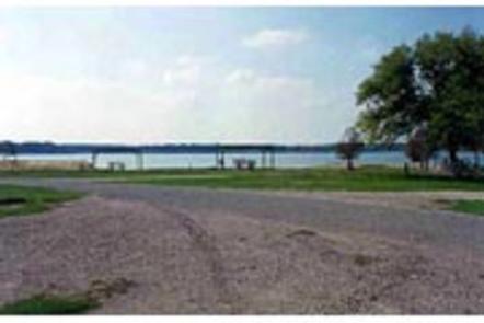
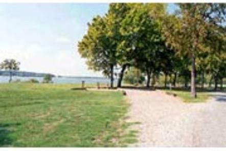
Lakeside Campground is located on Lake Texoma in Oklahoma’s Cross Timbers Region. The lake is said to be the “Playground of the Southwest,” where outdoor activities like fishing, boating, hiking and hunting abound.

Recreation

Lake Texoma is a large reservoir with an excellent fishery and many access points. Boating, swimming, water skiing, hunting, birding and relaxing on the sandy beaches are the typical pursuits of most visitors.

The lake is known as the “Striper Capital of the World,” one of the few reservoirs in the nation where striped bass reproduce naturally. Other popular species include largemouth and smallmouth bass, white bass, hybrid striped bass, white crappie, black crappie, channel catfish and blue catfish.

Also available is the scenic Cross Timbers hiking trail, a very popular trail that winds for 14 miles above the lake on rocky ledges and through blackjack woodland. Forty miles of equestrian trails surround the lake as well.

Facilities

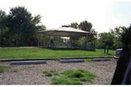
This popular campground offers 137 campsites, most of which have electrical and water hookups. A large, day-use group picnic shelter is available with hookups as well. Other amenities include flush and vault toilets, showers, and drinking water. Two dump stations, two boat ramps and two docks are located on-site.

Natural Features

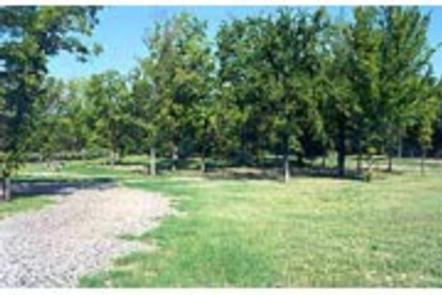
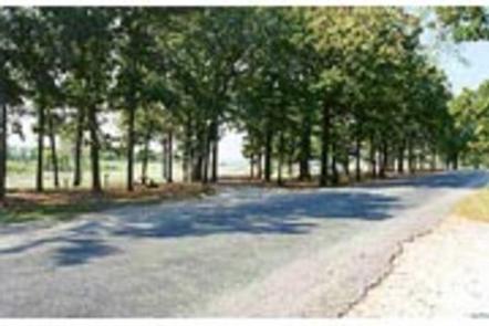
The campground is situated on the eastern side of Lake Texoma. Post and blackjack oaks forest the rolling hills of the region. Deer, turkey, bobcats, hawks, waterfowl and songbirds are abundant around the lake.

Nearby Attractions

The lake features two wildlife refuges, two state parks, and 23 commercial concession areas dedicated to the enjoyment of over six million visitors annually.

Reservation

More from CampingHiking.net:

OLD HICKORY BEACH, Tennessee Campground Images, Info & Reservations

Listen Directions From Nashville, take I-65 North to exit 92, TN-45/Old Hickory Blvd toward Madison, continue until you cross over the Cumberland River then take the 2nd left onto Bridgeway Ave., travel approximately 0.2 miles and turn left onto Ensley Ave., continue approximately 0.3 miles and turn left onto Swinging

BLACK BUTTE CABIN, Montana Campground Images, Info & Reservations

Listen Directions From Ennis, travel south on Highway 287 for about 32 miles to the West Fork Rest Area. Turn right onto West Fork Road/Forest Road 209 and continue for about 2 miles. Turn right onto Standard Creek Road/Forest Road 237 and travel 18 miles to the cabin. Maps may

FALLEN LEAF CAMPGROUND, California Campground Images, Info & Reservations

Listen Directions From South Lake Tahoe, take Highway 89 North from the junction of State Highway 50 and 89. In 3 miles, turn left on Fallen Leaf Road. The campground is about half a mile on the right. Phone 530-544-0426 Activities BIKING, BOATING, HISTORIC & CULTURAL SITE, CAMPING, INTERPRETIVE PROGRAMS,

DUCKETT MILL, Georgia Campground Images, Info & Reservations

Listen Directions To reach this park take state route 400 north to exit 17, turn right on Georgia Highway 306, turn right on Georgia Highway 53, turn right on Duckett Mill road. Follow Duckett Mill Road into the campground. Phone 770-532-9802 Activities BIKING, BOATING, CAMPING, FISHING, PICNICKING, SWIMMING SITE, WATER

RUSSIAN RIVER, Alaska Campground Images, Info & Reservations

Listen Directions From Anchorage, Alaska, travel south for 110 miles to Milepost 54 on the Sterling Highway, Alaska State Highway 1. Phone (907)288-7756 Activities BIKING, CAMPING, FISHING, HIKING Keywords RUSR,CHUGACH NF – FS Related Link(s) Rec Area Info & Images Alaska State Tourism Alaska State Road Conditions Forest Service Concessionaire

HARVEY WEST CABIN, California Campground Images, Info & Reservations

Listen Directions From Highway 50: Go approximately 32 miles east of Placerville or 25 miles west of South Lake Tahoe. Turn south on to Silver Fork Road 11N40. Travel approximately 2 miles on Silver Fork Road. Turn right into the China Flat Day Use parking area approximately 300′ feet past