ROCKY POINT (FT GIBSON), OK Campground Reservation, Info, Images, Map, Directions

ROCKY POINT (FT GIBSON), Oklahoma Campground Images, Info & Reservations

Listen

Directions

From Wagoner, Oklahoma: travel 4.5 miles north on Highway 69. Turn right at stoplight on East 690 Road. Travel 3 miles east. Turn left on South 320 Road and travel north for 3/4 mile to park entrance.

Phone

918-462-2042 OR 918-682-4314

Activities

BOATING, CAMPING, FISHING, HUNTING, SWIMMING SITE

Keywords

ROCY,FORT GIBSON LAKE,ROCKY POINT FT GIBSON,FORT GIBSON LAKE

Related Link(s)

Rec Area Info & Images

Oklahoma State Road Conditions

Oklahoma State Tourism

Overview

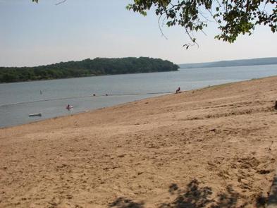
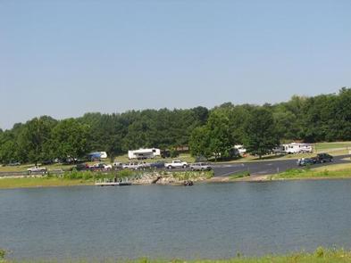
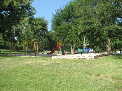
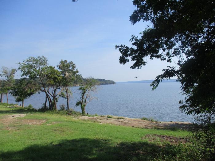
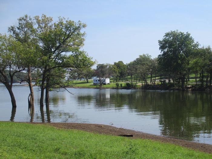
Rocky Point is located on the upper end of Fort Gibson Lake where Flat Rock Creek meets the main channel. This year-round campground offers a sandy swim beach, playground equipment and one of the best boat ramps on Fort Gibson Lake. Rocky Point Store is conveniently located direcly outside the park gates for sandwiches, pizza, ice and fuel. The store also maintains a small inventory of grocery and camping items.

Recreation

The nearly 20,000-acre lake offers excellent boating and swimming opportunities.

Anglers enjoy fishing for black bass, white bass, crappie and several varieties of catfish and panfish.

The lake’s 225 miles of shoreline are home to thousands of acres of public hunting lands, where white-tailed deer, bobwhite quail, mourning dove, duck, geese, cottontail rabbit and squirrel roam.

Facilities

This year-round campground offers 59 campsites and one group day-use picnic shelter, all with electric hookups. An additional 3 campsites with canopies and no hookups are available on a first come – first serve basis. Rocky Point is unique on Fort Gibson Lake by offering a designated swim beach within the park. Additional amenities include drinking water, flush and pit toilets, showers, 2 dump stations, 3 boat ramps and a courtesy dock.

Natural Features

Rocky Point offers steep rocky bluffs on the eastern edge of the park and thick wooded timber of the western edge. A cove between the two sides offers boaters a calm location to moor boats.

Nearby Attractions

Historic Fort Gibson, established in 1824, served as an important military post on the western frontier for close to 70 years. Now a National Historical Landmark, the site is open to the public year round.

Volunteers reenact the lifestyle of the late 1800s during various events held throughout the year. A reconstructed log stockade, and original barracks, hospital, bakehouse and other structures still stand today.

Reservation

More from CampingHiking.net:

TWIN LAKES CABIN (AK), Alaska Campground Images, Info & Reservations

Listen Directions Located on the north side of the Stikine River near Figure 8 Lake (Twin Lakes), in the Stikine-LeConte Wilderness. The cabin is 17 miles from Wrangell, accessible by shallow draft boat or float plane during moderate to high river levels. A minimum 16-foot river level is generally needed

FOURMILE CABIN, Montana Campground Images, Info & Reservations

Listen Directions From Big Timber, travel 25 miles south on Highway 298 to the National Forest Boundary. At this point, the paved road becomes county-maintained gravel road (Main Boulder Road or Forest Road 6639). Continue on this gravel road another 17 miles. The cabin is on the west (right) side

MONO HOT SPRINGS, California Campground Images, Info & Reservations

Listen Directions From Clovis, California, take Highway 168 north 70 miles to Huntington Lake Campground office at Eastwood. Take Kaiser Pass Road to Mono Hot Springs Campground. Phone 559-893-2111 Activities BIKING, CAMPING, INTERPRETIVE PROGRAMS, FISHING, HIKING, WILDLIFE VIEWING Keywords MOHS,SIERRA NF – FS Related Link(s) Rec Area Info & Images

SUTTON CAMPGROUND, Oregon Campground Images, Info & Reservations

Listen Directions From Florence, Oregon, take Highway 101 north 5 miles to the Sutton Campground turnoff and go one mile to the campground. Phone 541-997-2715 Activities BOATING, CAMPING, FISHING, HIKING, WILDLIFE VIEWING, SWIMMING SITE, BERRY PICKING Keywords SUTT,SIUSLAW NF – FS Related Link(s) Rec Area Info & Images Oregon State

WAX, Kentucky Campground Images, Info & Reservations

Listen Directions From Louisville, take I-65 south to exit 76 and turn west onto Highway 224. After 9 miles turn left on Highway 479, then continue for another 8 miles and turn left onto Highway 88. Continue into the campground entrance. Phone 270-242-7578 Activities BOATING, CAMPING, FISHING, HIKING Keywords WAXX,NOLIN

WALL CREEK CABIN, Montana Campground Images, Info & Reservations

Listen Directions From Ennis, take US Highway south for about 18 miles to Indian Creek and the McAtee Bridge fishing access site. Turn right and go nearly 1 mile to junction just beyond bridge. Turn left and travel toward Wall Creek Wildlife Management Area for 2.7 miles to T junction.