
Directions
From Cottage Grove, Oregon, take Exit 174 off of Interstate 5. Travel East on Row River Road for approximately 5 miles; you will cross Row River twice. The entrance to the campground is on the left side of the road immediately after you cross Row River for the second time.
Phone
541-942-1418
Activities
BIKING, BOATING, HISTORIC & CULTURAL SITE, CAMPING, FISHING, WATER SPORTS
Keywords
SCHW,DORENA LAKE,SCHWARZ CAMPGROUND,SWARTZ CAMPGROUND,DORENA LAKE
Related Link(s)
Overview
Schwarz Campground is located below Dorena Lake in Oregon’s Southern Willamette Valley. The campground is approximately five miles from the city of Cottage Grove.
A variety of recreational opportunities are available, including fishing, boating, swimming and hiking. A number of historic covered bridges can also be found in the area.
Recreation
Dorena Lake is a great location for boating, water skiing, fishing and swimming. Nearby Baker Bay County Park offers a boat ramp and marina.
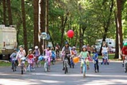
The Row River Trail stretches 14 miles from downtown Cottage Grove, past the Dorena Dam and along the entire north side of the lake. This popular path is open tor hiking, biking and horseback riding.
The Cottage Grove Scenic Byway Tour meanders past seven historic covered bridges in the area. The bridges were built in the 1920s and 30s, and some are still in use today.
Facilities
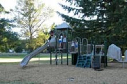
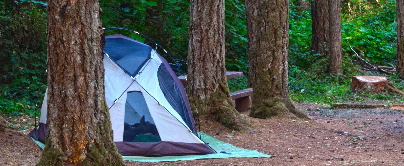
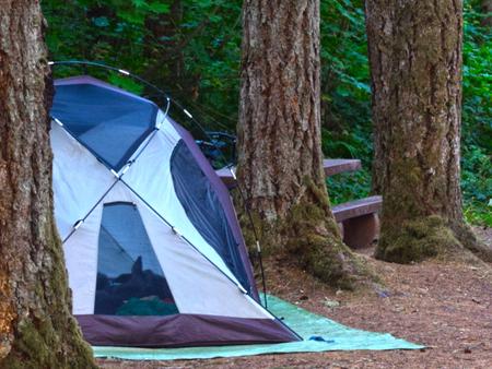
Schwarz Park offers several single and double-family campsites and six group sites. Flush toilets, drinking water, showers and a dump station are provided. Younger campers love the park’s big playground.
Natural Features
Dorena Lake is situated in the low foothills of the Calapooya Mountains. The campground is surrounded by a diverse mix of marshland, coniferous forests and grasslands.
The weather is generally mild during the recreation season with temperatures ranging from the low 50s to the upper 90s. Chances of precipitation are high from May through mid-June.