
Directions
From Sapulpa, take SH33 and go 7 miles west of Kellyville. Exit on Turner Turnpike. Follow signs 3.5 miles south from SH33.
From Bristow, take SH48 to 48/33 intersection. Go east on SH33 3.5 miles to 305th W. Ave. Follow signs south from SH33.
Phone
918-865-2621
Activities
BIKING, BOATING, CAMPING, FISHING, HIKING, HORSEBACK RIDING, PICNICKING, WATER SPORTS, WILDLIFE VIEWING, DAY USE AREA, PHOTOGRAPHY, SWIMMING, HORSE CAMPING, MOTOR BOAT, WATER ACTIVITIES, KAYAKING, CANOEING, BIRDING, WATER ACCESS, JET SKIING
Keywords
SHEP,HEYBURN LAKE,HEYBURN LAKE
Related Link(s)
Oklahoma State Road Conditions
Overview
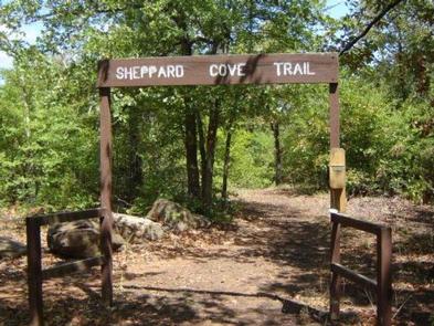
Sheppard Point is an excellent destination for access to Oklahoma’s Heyburn Lake and taking advantage of hiking and sightseeing on the multi-use nature trail.
Sheppard Point offers a handful of equestrian-friendly sites where horses can be kept behind the sites on tether poles, with direct access to the trail system.
Recreation
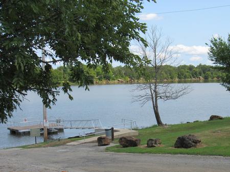
Picnicking, horseback riding, hiking, fishing, water skiing, boating, swimming are some of the favorite activities at Heyburn Lake.
Anglers catch catfish, bass and crappie while hunters seek white-tailed deer and wild turkey.
Facilities
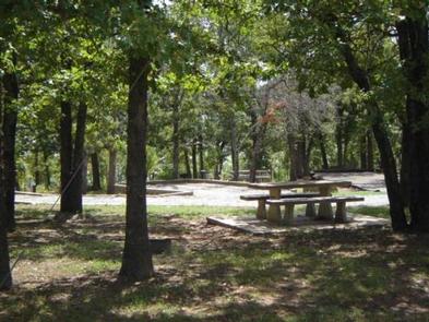
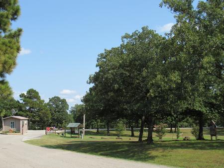
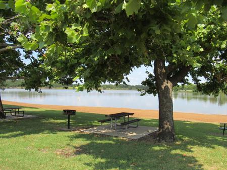
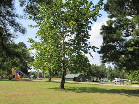
Sheppard Point has a selection of both tent and RV campsites. Perks include hot showers, a boat ramp, playground, swim beach and multi-use trail to the perks. Group picnic shelters are available as well.
Natural Features
Heyburn Lake lies in the Sandstone Hills of the Osage Section of Oklahoma’s central lowlands. The picturesque setting of grasslands and gently sloping, wooded hills, provides a stunning backdrop for recreation in the area.
The area is mostly forested with oaks, blackjack, and the occasional hickory, ash, elm or cottonwood tree. In spring, flowering wild plum and redbud trees add color to the soft, green landscape.
Nearby Attractions
Visitors can explore the various parks at Heyburn Lake including Sunset Bay, Overlook and Heyburn Park. Keystone Lake lies about 20 miles to the north. Tulsa is less than 30 miles to the northeast.