
Directions
From Huntingdon, Pennsylvania, take Route 26 south for 6 miles. Turn left onto Seven Points Drive and continue 3 miles. Turn left again onto Baker’s Hollow Road. Campground entrance is two miles ahead on the right.
Phone
814-658-6806
Activities
BIKING, BOATING, CAMPING, FISHING, HIKING, WILDLIFE VIEWING
Keywords
SUSQ,RAYSTOWN LAKE,RAYSTOWN LAKE
Related Link(s)
Pennsylvania State Road Conditions
Overview
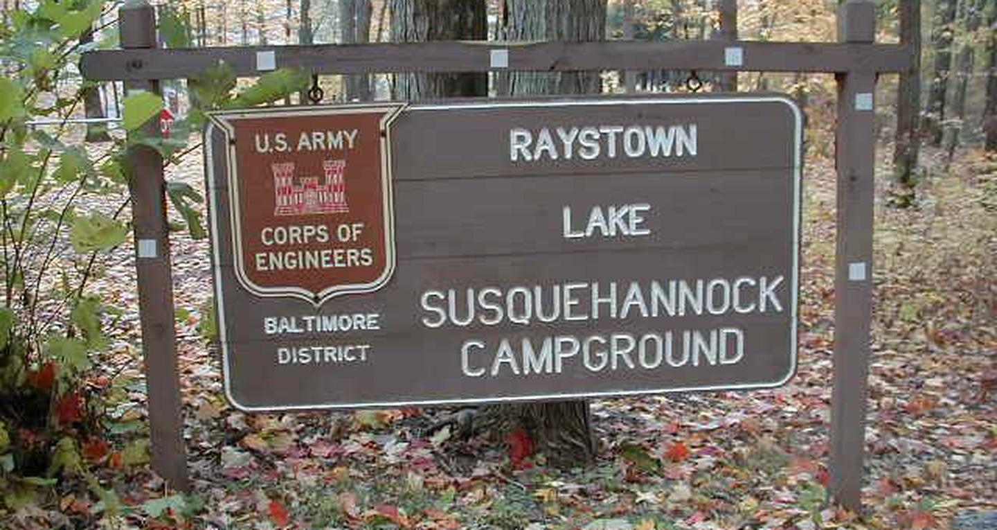
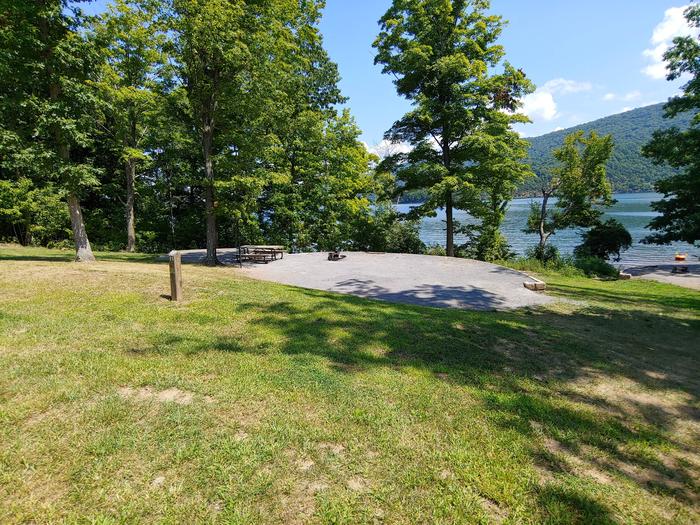
Susquehannock Campground is located on the 8,300-acre Raystown Lake, in the ridge and valley province of Pennsylvania.
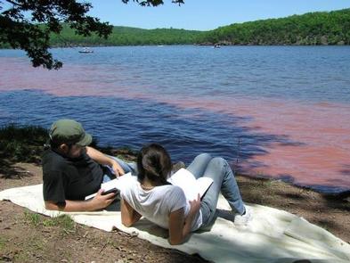
The lake offers ample outdoor recreation opportunities, from fishing and boating to picnicking and hiking. Campers have access to a marina, shopping, restaurants and cultural attractions within a short drive. Several fun family events take place in the lake area throughout the summer.
Recreation
Fishing is excellent at the lake, with muskies, small and large mouth bass and brown trout found in abundance. Stream and river fishing are nearby, as are hunting areas for deer, turkey, grouse and Canada geese.
Nearby trails such as the Allegrippis Trails, Old Loggers Trail, Hillside Nature Trail and Terrace Mountain Trail offer hiking and biking.
Many family activities are available in the Raystown Region during summer. Visitors can pick up a free guide at the Raystown Lake Visitor Center or campground entrance station to help them plan sightseeing, hiking, biking, boating and canoe and kayak rental opportunities.
Facilities
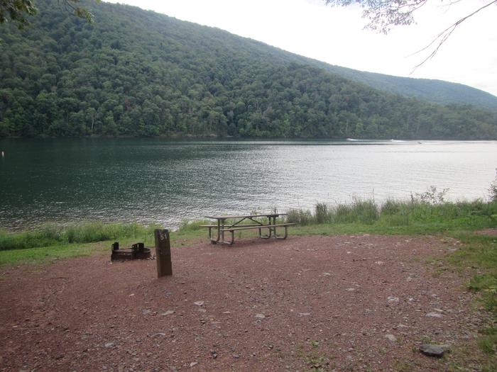
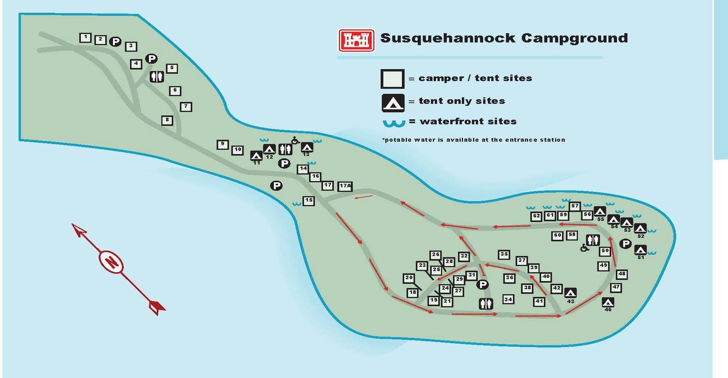
Susquehannock is a primitive campground that offers more than 60 campsites, including over 20 tent-only sites. Many are waterfront, while others are just a short walk from the water’s edge. There are no electric hookups. Vault toilet restrooms and drinking water are provided. Showers are available nearby at the Seven Points Beach and coin-operated laundry facilities are available in the Seven Points Campground.
Natural Features
The lake shore is lined with an old oak-hickory forest giving way to mountain ridges and cliffs. The man-made lake is fed by the Raystown Branch tributary of the Juniata River and is the largest lake located completely in the state of Pennsylvania.
Recreation season temperatures range from the 60s to 90s, with three to four inches of rain per month. The nights are cool and the days are pleasant through spring and fall.
Local wildlife consists of white-tailed deer, wild turkeys, ruffed grouse, Canada geese, pheasants, bald eagles, ospreys, great blue herons and occasional black bears.
Nearby Attractions
The campground is only three miles from groceries, a bait shop, gas and a full service marina. The City of Huntingdon, located 14 miles north, is a good place to stop for restaurants, shopping and theaters.
Campers can take day trips to the Lincoln and Indian Caverns, Altoona Railroaders Museum or Swigart Antique Car Museum.