
Directions
From Osage City, Kansas, take K-170 south. Turn east onto 301st Street and continue 2 miles. Turn south onto Indian Hills Road and proceed about a mile to Turkey Point Parkway. Follow into the campground.
Phone
785-549-3318
Activities
BOATING, CAMPING, FISHING, HUNTING
Keywords
TURP,MELVERN LAKE,MELVERN PROJECT,MELVERN STATE LAKE,TURKEY CREEK,MELVERN LAKE
Related Link(s)
Overview
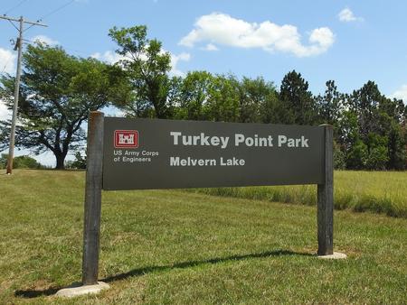
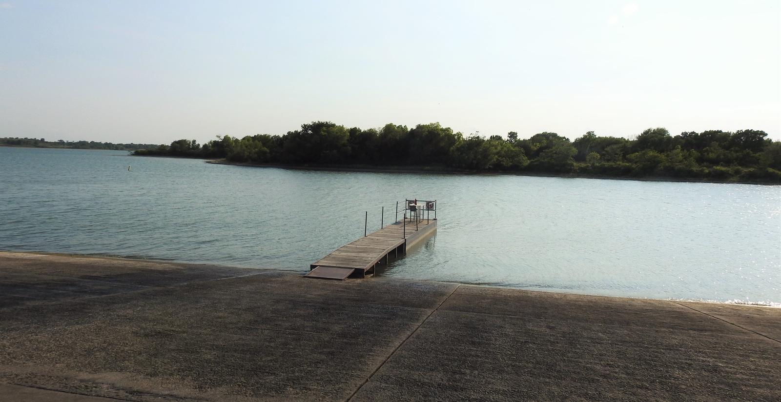
Turkey Point Campground is situated on Melvern Lake on the eastern edge of the Flint Hills of Kansas. Visitors enjoy the area’s wide range of recreational activities, including boating, fishing, hiking and hunting. Find a virtual tour of Melvern Lake at http://www.photographyoptions.net/images/melvern/tour.html
Recreation
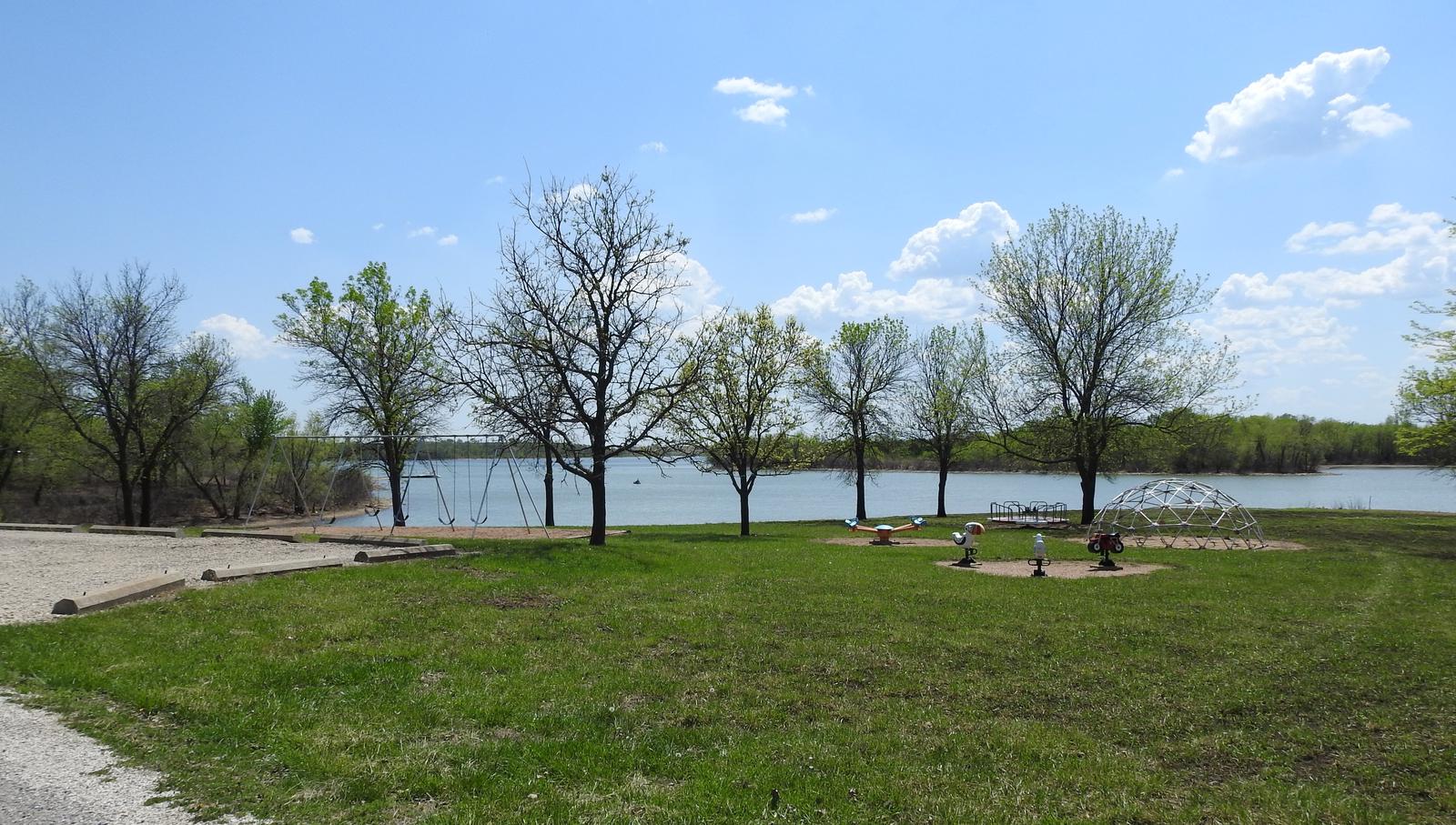
Melvern Lake impounds nearly 7,000 acres of water on the upper reaches of the Marais des Cygnes River Valley. Boating and swimming are popular activities on the lake. Anglers will find walleye, crappie, channel and flathead catfish, as well as black, striped, white and smallmouth bass. The 18,000 acres of land surrounding Melvern Lake provide plentiful hiking and hunting opportunities. Several trails wind around the lake, including a 1 mile trail located in the campground connecting to the day-use area. Hunters may find deer, quail, turkeys, ducks, rabbits and squirrels throughout the area.
Facilities
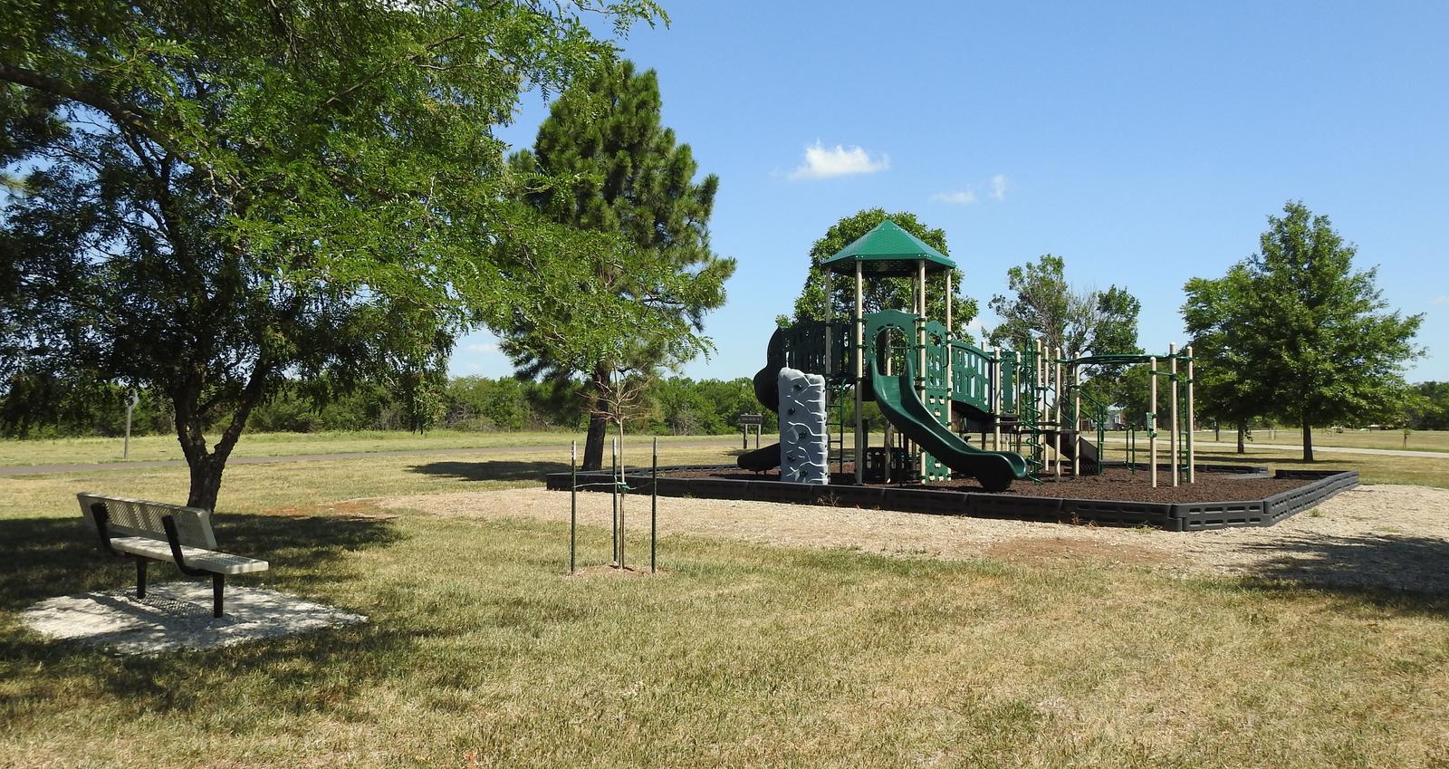
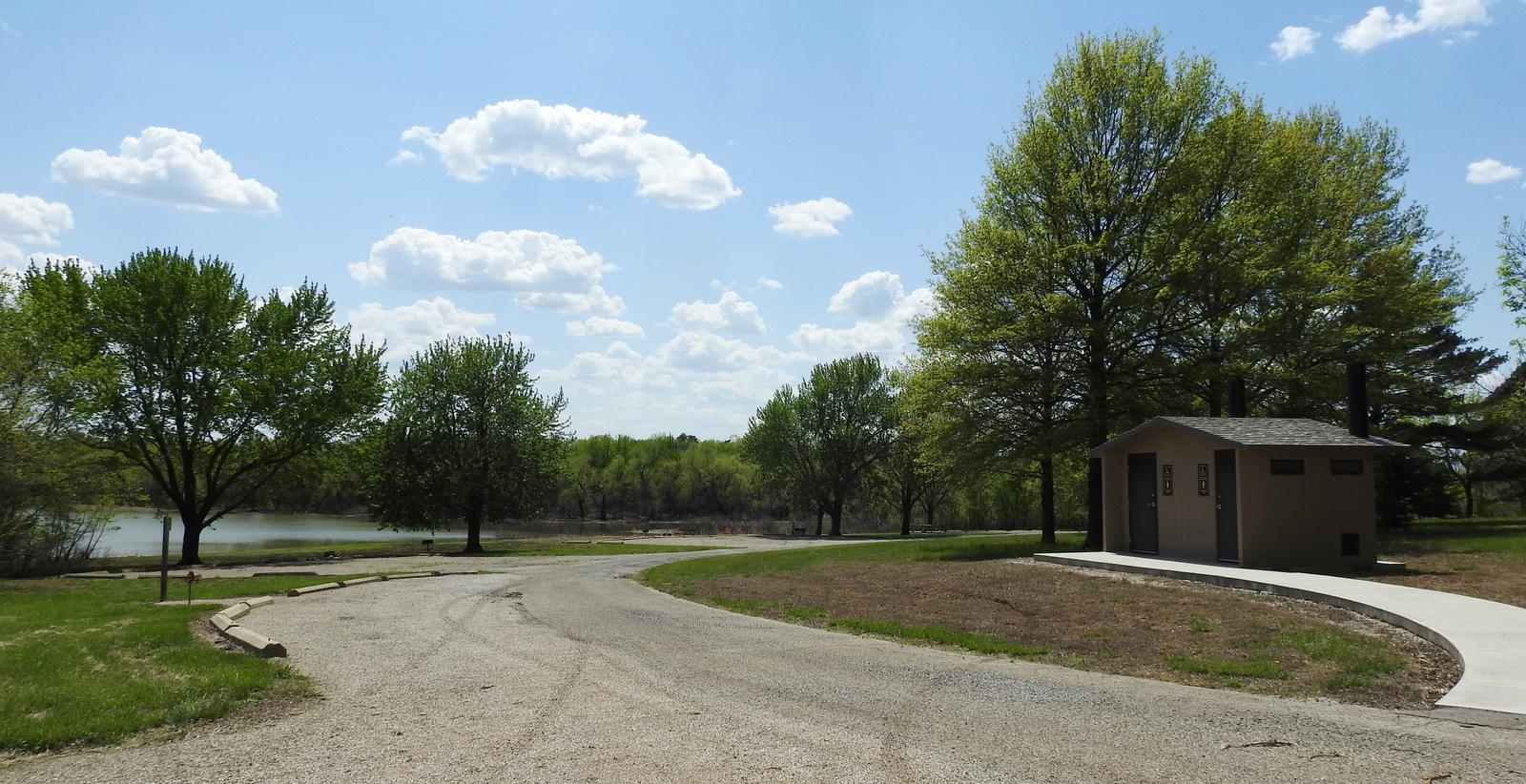
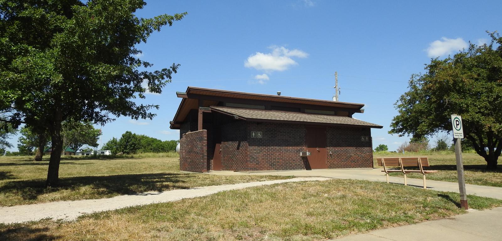
The campground offers two group camps. One offers a group campsite with basic amenities, a pit privy, and a shelter with a grill, water, and electricity. The second offers 12 camp pads with 50 amp electric and water utilities, a restroom, a shelter with grill, and a playground. There are 48 family campsites, many with water and electric hook-ups, throughout the park. Several family picnic sites are available on a first-come-first-served basis. Amenities include flush and vault toilets, showers, drinking water and a dump station. A boat ramp, dock, fish cleaning station and three playgrounds all provide additional recreation opportunities. Click Here for a Virtual Tour (http://www.photographyoptions.net/images/melvern/tour.html)
Natural Features
The Flint Hills represent America’s last expanse of intact tallgrass prairie, made up of big bluestem, switchgrass and Indian grass. The rolling hills on the south side of the lake are wooded, and the campground has scattered trees and some shade.