
Directions
From Winston-Salem, North Carolina, take Highway 421 North (approximately 55 miles) to Exit 286B, turn left onto Highway 268 and continue for approximately 8 miles. Turn right immediately after crossing the bridge and follow signs to the campground. From Charlotte, North Carolina, take I-77 North (approximately 60 miles) before merging onto Highway 421 North towards Wilkesboro/Boone, continue to Exit 286B (approximately 20 miles), turn left onto Highway 268 and continue for approximately 8 miles. Turn right immediately after crossing the bridge and follow signs to the campground. Travel times from: Winston-Salem: 1 hour Charlotte: 1.5 hours
Phone
336-921-2177
Activities
BIKING, CAMPING, FISHING, HIKING, SWIMMING SITE
Keywords
WARI,W KERR SCOTT DAM
Related Link(s)
North Carolina State Road Conditions
Overview
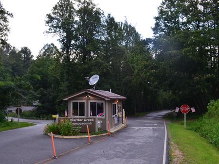
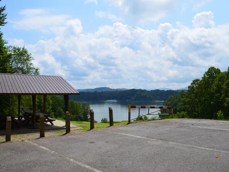
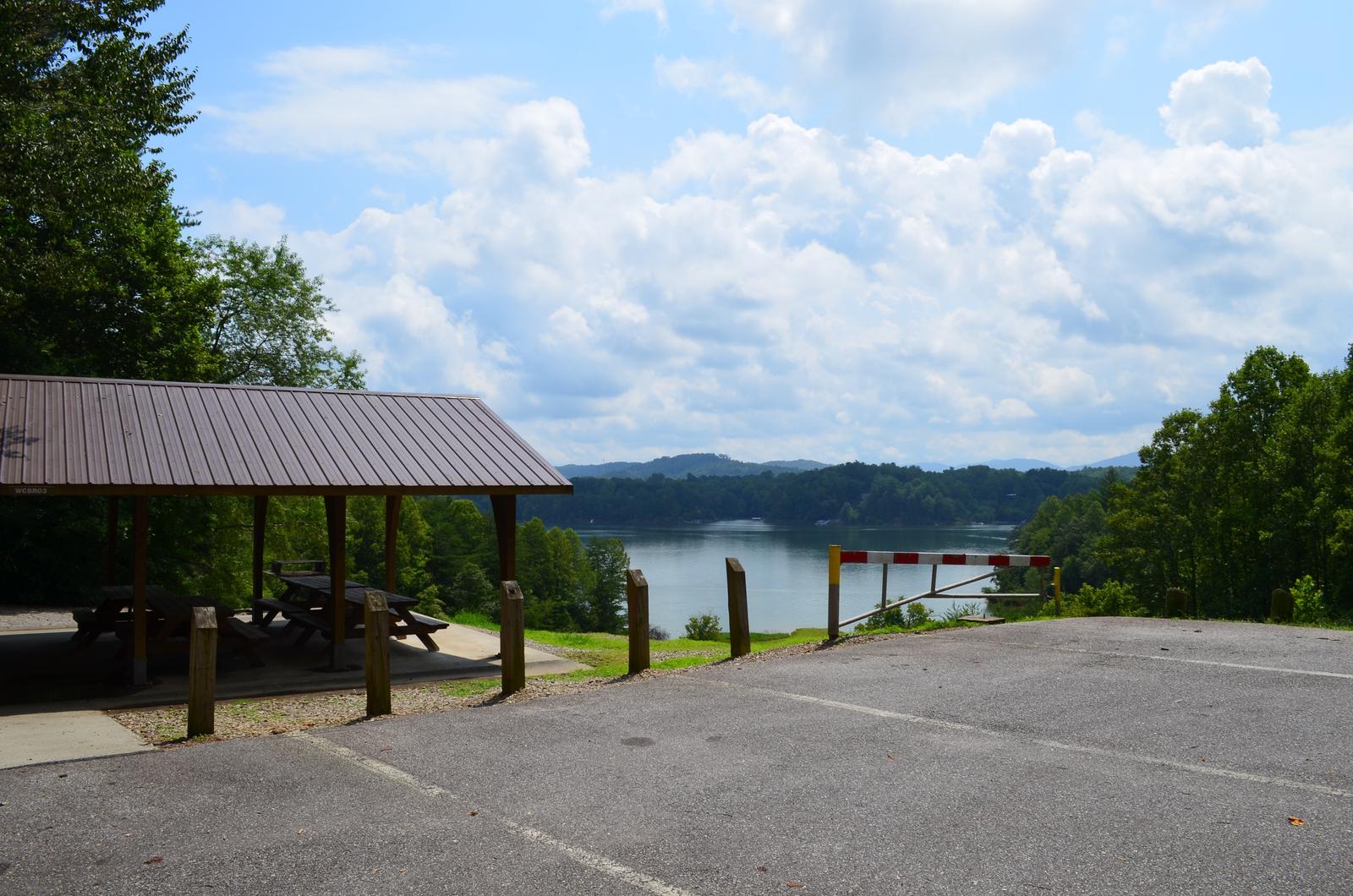
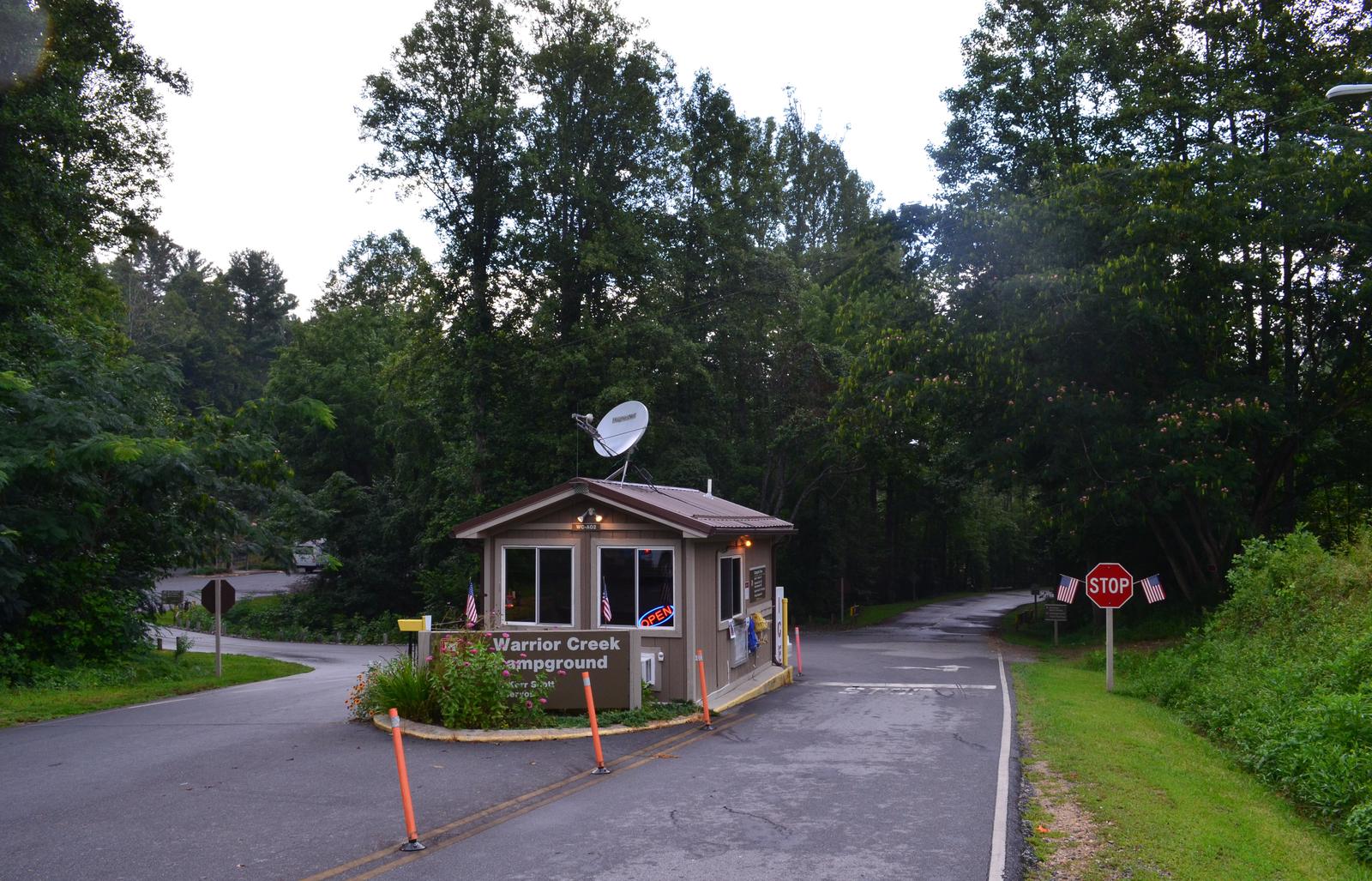
Warrior Creek is located on the south side of W. Kerr Scott Reservoir in western North Carolina.
Constructed in the beautiful Yadkin River Valley, the lake offers extensive opportunities for outdoor recreational activities.
Recreation
The 1,475-acre reservoir offers excellent boating, canoeing, kayaking and swimming opportunities. Anglers will find channel catfish, large and smallmouth bass, bluegill, threadfin shad, spotted bass, striped bass, and hybrid striped bass. The Warrior Creek trail system completely encircles the campground as it scenically follows the fold of the surrounding landscape. It is recognized by the International Mountain Biking Association as one of the top bike trails in the world. There are 17 miles of single track trail in Warrior Creek with multiple points-of-entry throughout the campground. These trails are also used extensively by hikers and trail runners.
Facilities
The campground offers 61 family campsites, 6 of these are tent only sites that do have electric hookups. The other 55 sites have full electrical and water hookups to support RV’s. There are also two group camping areas that are perfect for large groups. Amenities include flush and vault toilets, showers, drinking water and a dump station. An amphitheater, swim beach, playground, basketball court and hiking and biking trails offer additional recreation opportunities. A boat ramp and three fishing piers, one of which is ADA accessible, can be found at Keowee Park which borders the campground.
Natural Features
The gentle Yadkin River flows through its scenic namesake valley in the foothills of the eastern Blue Ridge Mountains. Forests of mixed hardwoods, including sycamore, poplar, oak and hickory, cover the region. Wildlife is abundant in the valley. White-tailed deer, black bear, eastern cottontails and more can be found among the hills. Birds in the area include wild turkey, woodpeckers, Carolina chickadees, red-eyed vireo, ovenbirds, mallards and wood ducks.