
Directions
From Wrightwood, turn left on CA-2 W/Angeles Crest Highway and drive for 3.6 miles. Then turn right onto Big Pines Highway and drive 2.7 miles. Look for signs into the campground.
Phone
760-249-3526
Activities
CAMPING, HIKING
Keywords
LAKE,ANGELES NF – FS,LAKE,lake,california,Lake at Wrightwood,Lake at Big Pines,Jackson Lake
Related Link(s)
California State Road Conditions
Overview
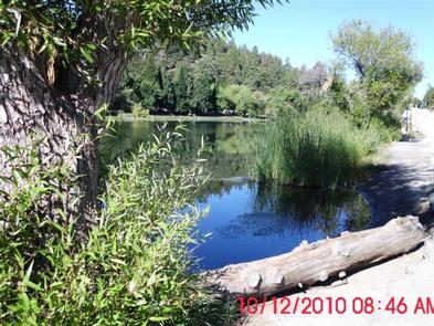
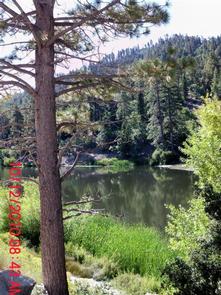
Lake Campground offers an excellent escape from the city, just a short drive northeast of the Los Angeles metro area. It’s set on the shores of Jackson Lake, providing a scenic, peaceful setting for fishing, swimming and canoeing in Angeles National Forest.
Visitors enjoy exploring the Angeles Crest Scenic Byway, which offers incredible views of oak thickets, high desert landscapes, chaparral and pine forests.
Recreation
Wildlife viewing is a popular activity, as visitors may see bobcats, mountain lions, bears and Nelson bighorn sheep.
Powerboating is not permitted on Jackson Lake, so the setting is peaceful and quiet for swimming, canoeing and fishing. The lake is stocked with trout and bluegill.
Facilities
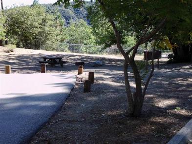
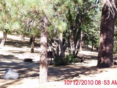
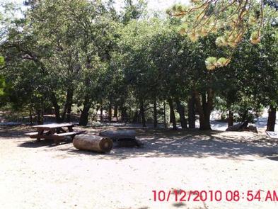
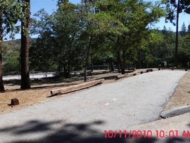
Campsites can accommodate eight campers and two vehicles. Food storage lockers, grills, picnic tables, vault toilets and drinking water are provided. Firewood can be purchased at nearby Mountain Oak Campground.
Natural Features
Lake Campground sits at an elevation of 6,100 feet in Angeles National Forest. Campsites are secluded and shaded with scattered oak trees and Jeffrey pines. Daytime temperatures in the summer are usually in the low 80s and evenings are cool.
Angeles National Forest spans nearly 695,000 acres over most of the San Gabriel Mountain Range in southern California. Vegetation ranges from chaparral and oak at lower elevations to pine forests at higher altitudes. Elevations range from 1,200 to 10,000 feet.
The endangered California condor inhabits the forest. The Least Bells vireo and the Southwestern Willow flycatcher are two migratory birds that visitors enjoy spotting in the area. Other local inhabitants include the Arroyo toad, mountain yellow-legged frog, the mountain lion and the two-striped garter snake.
Nearby Attractions
Take a hike on the Blue Ridge Trail or the Pacific Crest Trail. The Pacific Crest Trail is an impressive path that starts in Mexico and zigzags its way through Angeles and continues north across California, Oregon and Washington.