


Directions
From Pueblo, drive 25 miles south on Interstate 25 to exit 74. Go west 18 miles on state Highway 165 and turn into the main entrance at the Lake Isabel Recreation Area. Drive to Forest Road 374 and turn left. The entrance to the group campground is beyond the St. Charles Campground entrance behind a closed gate.
Phone
FOR RESERVATIONS CALL (877) 444-6777, FOR OTHER NON REAL TIME INFORMATION, CALL (719) 269-8500.
Activities
BIKING, CAMPING, FISHING, HIKING
Keywords
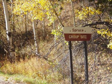
LAIS,CISNEROS,PIKE AND SAN ISABEL NF- FS,spruce group
Related Link(s)
Colorado State Road Conditions
Overview
Spruce Group Campground, located in the Lake Isabel Recreation Area, is a great place to bring groups for picnicking and camping on the scenic Lake Isabel. The campground accommodates 50 guests for day-use and 40 guests for overnight camping. Some RVs can fit in the paved parking area for added convenience.
Lake Isabel is one of the few lakes in Colorado developed purely for recreation purposes. Built by the Civilian Conservation Corps, the lake attracts campers who enjoy hiking, canoeing, fishing and watching for wildlife. St. Charles Creek flows near the campground and offers additional opportunities for fishing.
Recreation
Lake Isabel welcomes non-motorized boating and fishing. Brown and brook trout are stocked in the lake and the St. Charles headwaters reap brook trout.
Visitors can enjoy hiking, bicycling or motorcycling on either the Snow Slide Trail or Cisneros Trail. The 15-mile Cisneros Trail, also open to ATV riders, leads to the heart of the Wet Mountains, through forests and open, wildflower speckled valleys. Along the way, the trail connects to St. Charles Trail, which heads to St. Charles Peak.
Facilities
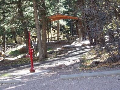
Spruce has a picnic shelter that seats 25 to 30 people, plus a horseshoe pit and volleyball court. Two 3-foot wide grills are onsite and individual sites have campfire rings.
Drinking water is provided via a hand pump and an accessible double vault toilet is in the campground. There are no defined tent pads.
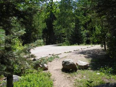
The road through the group site is paved, and a parking area fits a limited number of RVs.
Natural Features
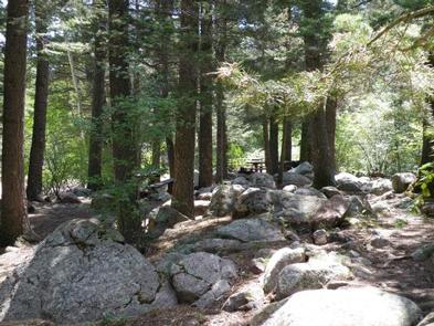
The St. Charles Creek runs next to the campground, and dense spruce trees surround the site. The shoreline of Lake Isabel meets the rocky slopes of the Wet Mountains at an elevation of 8,600 feet.
The Pike and San Isabel National Forest includes over a million acres of wilderness and over half of Colorado’s mountain peaks that reach above 14,000 feet.
Nearby Attractions
The Frontier Pathways Scenic Byway is a great route to explore and shoot photos.
A nearby lodge offers paddle and rowboat rentals, groceries and a restaurant. Golf courses are about 15 minutes away.