

Directions
From Creede, Colorado, travel 7 miles west on Colorado Highway 149 to Forest Road 523. Take Forest Road 523 one mile to the campground entrance.
Phone
719-658-0829
Activities
BIKING, CAMPING, FISHING, HIKING
Keywords
MASH,RIO GRANDE NF- FS
Related Link(s)
Colorado State Road Conditions
Overview
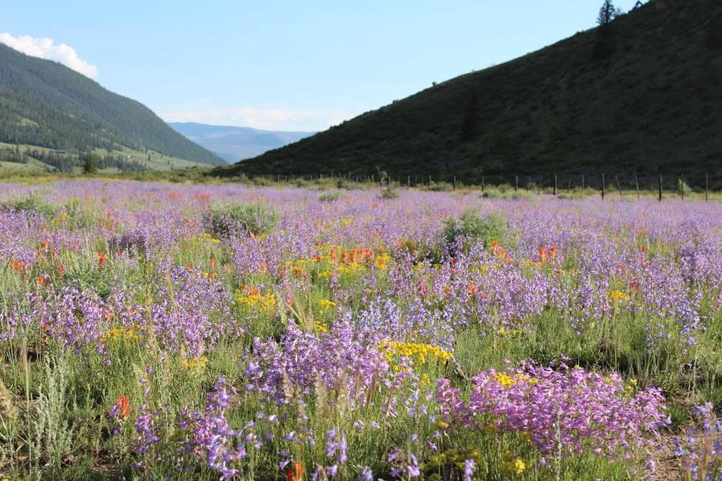
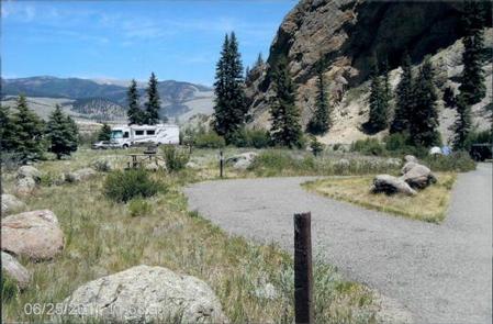
Marshall Park Campground is situated in an open meadow on the Rio Grande River with views of Bristol Head Peak and the La Garita Mountains. Campers enjoy trout fishing, boating and the area’s diverse wildlife. It also makes for a great base camp for hunters in the area.
Recreation
Anglers will find an abundance of rainbow trout in the Rio Grande, which is considered a trophy river. The river also welcomes wading and exploration. Off-road vehicle trails are nearby as well.
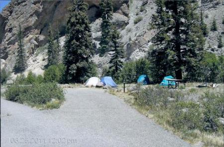
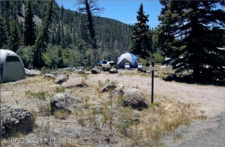
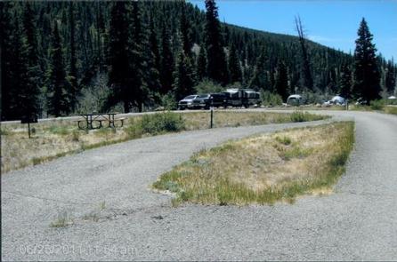
Facilities
Amenities include picnic tables and campfire rings. An accessible vault toilet with a night light is provided. Firewood may be purchased from the host. Campfire programs are presented periodically throughout the summer.
No drinking water is available. Campers must bring their own supply.
Natural Features
The campground is located about 7 miles southwest of Creed, Colorado at an elevation of 8,800 feet. Campsites are open with few trees. The sun hits the campground in the late morning, after cool early morning temperatures.
Rio Grande National Forest spans 1.86 million acres in south-central Colorado. The Continental Divide runs for 236 miles along most of the forest’s western border, presenting a myriad of ecosystems from alpine desert to rugged wilderness.
Nearby Attractions
Head east of Creed for off-road vehicle trails like the Lost Trail #821 that runs for 11 miles and offers wonderful views of the surrounding mountains.