
Directions
Located on Forest Road 095/Red Canyon Road off Highway 44, approximately 40 miles north of Vernal, Utah.
Phone
435-784-3445
Activities
BIKING, BOATING, CAMPING, FISHING, HIKING, WILDLIFE VIEWING
Keywords
RECA,RED CANYON COMPLEX,FLAMING GORGE,ASHLEY NF – FS,Flaming Gorge National Recreation Area
Related Link(s)
Overview
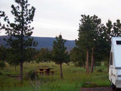
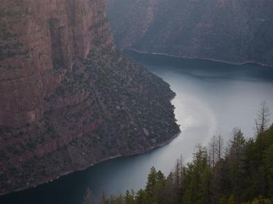
Red Canyon Campground is located in a grassy meadow high above Flaming Gorge Reservoir in northeastern Utah along Red Canyon Road at an elevation of 7,400 feet. Visitors enjoy exploring the Red Canyon Rim Trail and canoeing and fishing at Greens Lake. ( THIS IS NOT THE RED CANYON IN SOUTHERN UTAH-_ THAT ONE IS NOT RESERVABLE.)
Recreation
Nearby Greens Lake offers great canoeing and fishing for rainbow and brook trout. Red Canyon Lodge sits on the shore. Canoe and bike rentals, horseback riding, a restaurant and gift shop are available.
Red Canyon Rim Trail, for hiking and biking, begins at the nearby visitor center, which offers interpretive displays and area information.
Facilities
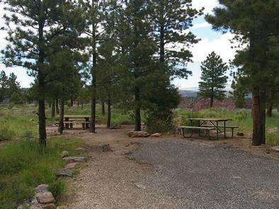
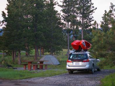
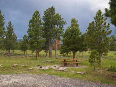
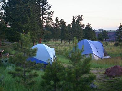
This small campground contains family campsites with picnic tables and campfire rings. Vault toilets and drinking water are provided.
Natural Features
The campground lies close to beautiful cliffs overlooking Flaming Gorge Reservoir. Lodgepole and ponderosa pines dot the campground, providing limited shade. Summer wildflowers are plentiful.
Nearby Attractions
Flaming Gorge National Recreation Area is known not only for its beautiful red cliffs, but also for its world-class fishing for lake, brown and rainbow trout. Boating, water skiing, jet skiing, canoeing, kayaking, swimming and scuba diving are popular activities on the reservoir.
Flaming Gorge Dam offers guided tours of the working hydroelectric plant and the dam itself; The adjacent visitor center contains area history exhibits.
The Green River below the dam provides spectacular rafting opportunities. A trip down the river offers unique geology, outlaw history and Native American rock art.