
Directions
From Deer River, travel northwest on Highway 46, to Forest Road 2171 (which is just over three miles past the Cut Foot Sioux Visitor Center). Continue approximately two miles on Forest Road 2171 to the campground. The campground entrance is on the west side of the road.
Phone
218-246-2123
Activities
BIKING, BOATING, CAMPING, FISHING, HIKING, HUNTING, WILDLIFE VIEWING
Keywords
CUTF,CUT FOOT SIOUX HORSE CAMP,CHIPPEWA HORSE CAMP,DEER RIVER HORSE CAMP,CUT FOOT HORSE CAMP,CHIPPEWA NF – FS
Related Link(s)
Minnesota State Road Conditions
Overview
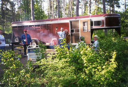
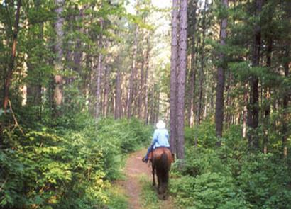
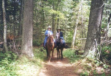
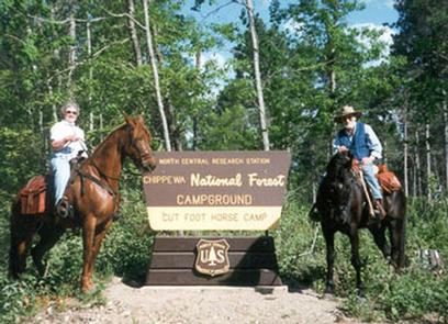
Cut Foot Sioux Horse Camp is located northeast of Lake Winnibigoshish. Over 120 miles of forest roads and recreation trails surround this scenic campground, making it a favorite location of campers with horses.
Recreation
Many miles of trails pass through or begin at Cut Foot, leading horseback riders, hikers and mountain bikers through the Cut Foot Experimental Forest. Several trails are also open to off-road vehicles. Research areas are designated by various markers. Please leave the markers as you find them.
Facilities
Unique campgrounds like Cut Foot Horse require certain restrictions to maintain water quality, minimize soil erosion and lessen any impacts on vegetation. Special attention has been paid in designating the site for horse camping.
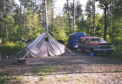
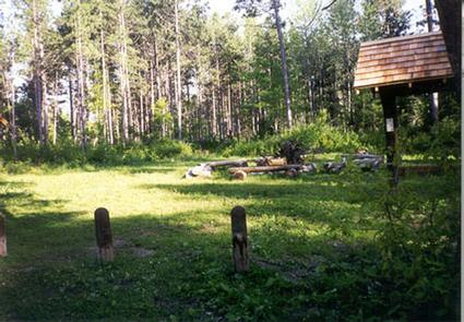
Several single-family campsites are available, most of which are accessible. Each site is equipped with a picnic table and campfire ring. Hitching racks, picket lines and manure pits are located throughout the campground. Vault toilets and drinking water are provided.
The campground is patrolled regularly by Forest Service personnel and Itasca County law enforcement officers.
Natural Features
The campground lies within the Cut Foot Experimental Forest, managed in part by the North Central Research Station in Grand Rapids and the Chippewa National Forest. The Cut Foot is an outdoor laboratory for studying pine forest management.
A mature stand of red pine trees cover the area, and oak and birch trees dot the forest. The campground has nice shade and good privacy between sites.
Nearby Attractions
Boating, swimming and fishing are popular activities on Big and Little Cut Foot Sioux Lakes and Lake Winnibigoshish. These lakes and several others are within a few miles of the campground.