TIMBERLINE CAMPGROUND, CO Campground Reservation, Info, Images, Map, Directions

TIMBERLINE CAMPGROUND, Colorado Campground Images, Info & Reservations

Listen

Directions

From Denver, Colorado, take Highway 285 southwest to Park County Rd. 58. Turn right at County Rd. 58 and follow road to Forest Road 125. Turn right and follow road about 0.5 miles to the campground entrance.

Phone

303-275-5610

Activities

BIKING, CAMPING, FISHING, HIKING, HUNTING, WILDLIFE VIEWING

Keywords

Timberline

Related Link(s)

Rec Area Info & Images

Forest Service Concessionaire

Colorado State Tourism

Colorado State Road Conditions

Overview

The Timberline Campground, near Kenosha Pass, is about 7 miles southwest of the small town of Grant. The abundance of aspens at the site creates impressive fall scenery along the forested hillside. Wildlife in the area includes golden eagles, elk, mule deer, moose, chipmunks and porcupines.

Recreation

The Colorado Trail is located within one mile of the campground and offers abundant hiking, biking and horseback riding opportunities. The epic 471-mile trail stretches across Colorado from Denver to Durango. Visitors may also enjoy fishing in Hoosier Creek.

Facilities

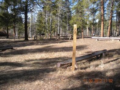
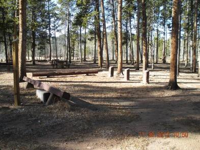
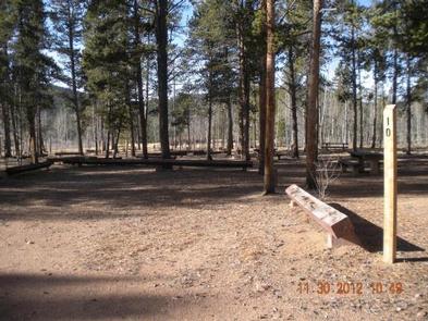
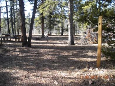
No drinking water is available and the roads through the campground are dirt and gravel. Each loop has a parking spur, picnic table, campfire ring and grill. There are 2 vault toilets within the campground.

Firewood may be purchased at the nearby Kenosha Pass Campground.

Natural Features

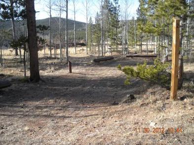
The family campsites are divided into two loops, that are separated by a rise. Both loops sit among a stand of aspen, spruce and lodgepole pines along Hoosier Creek. The campground sits at an altitude of 9,700 feet and features mild summer temperatures and cool nights.

Nearby Attractions

Fairplay, Colorado, once a frontier boomtown, is home to the South Park City Museum, which includes 34 authentic historical buildings and 60,000 artifacts.

Reservation

More from CampingHiking.net:

PICNIC POINT (ID), Idaho Campground Images, Info & Reservations

Listen Directions From Cascade, turn east on Warm Lake Highway. Travel approximately 26 miles along the paved road to Forest Road 489 and turn south. Continue about a half-mile past the Shoreline Campground and North Shore Lodge. The campground will be located just past the lodge, on the left side

COOK DAY USE AREA, Tennessee Campground Images, Info & Reservations

Listen Directions From downtown Nashville, TN, take I-40 east for 7 miles to exit 221B. Turn right on Old Hickory Boulevard, left on Bell Road, right on New Hope Road and right on Stewarts Ferry Pike. Follow the signs to the picnic shelters. Phone 615-889-1975 Activities BOATING, HIKING, PICNICKING, WILDLIFE

HUGH SMITH LAKE CABIN, Alaska Campground Images, Info & Reservations

Listen Directions The cabin is located approximately 55 air miles southeast of Ketchikan on the mainland south of Marten Arm. Accessible by floatplane. No moorage available. This cabin is in a designated Wilderness area, and access by helicopter is illegal. Refer to USGS Ketchikan A-3. In fall, winter and early

PINE MEADOWS CAMPGROUND, Oregon Campground Images, Info & Reservations

Listen Directions From Eugene, Oregon: Traveling south on Interstate 5 to Exit 172. Take exit 172, turn left on 6th street / London Road, and drive approximately 3 miles. Take a left on Cottage Grove Reservoir Road and drive 2.5 miles to Pine Meadows Campground. From Roseburg, Oregon: Traveling north

MANZANITA LAKE, California Campground Images, Info & Reservations

Listen Directions From Redding, California drive 48 miles east on State Highway 44. Turn right into Lassen Volcanic National Park and continue one mile south to Manzanita Lake Campground. Phone 530 595-6121 Activities BOATING, HISTORIC & CULTURAL SITE, CAMPING, INTERPRETIVE PROGRAMS, FISHING, HIKING, PICNICKING, VISITOR CENTER, DAY USE AREA, SWIMMING