
Directions
From Livingston, travel south on Highway 89 for 16 miles to the Mill Creek Road/Forest Road 486 (Pray turnoff). Turn left (east) onto Mill Creek Road, cross the East River Road (Highway 540) and continue east for 11 miles to the campground.
From Gardiner, take Highway 89 north for 36 miles to the Mill Creek Road/Forest Road 486 (Pray turnoff). Turn right (west) onto Mill Creek Road, cross the East River Road (Highway 540) and continue east for 11 miles to the campground.
Phone
406-646-1012
Activities
BIKING, CAMPING, FISHING, HIKING, WILDLIFE VIEWING, PHOTOGRAPHY, BERRY PICKING, STAR GAZING, BIRDING, WATER ACCESS, BACKPACKING, MUSHROOM PICKING
Keywords
SNOB,Snowbank,Mill Creek Campground,Snow Bank,GALLATIN NF – FS
Related Link(s)
Overview
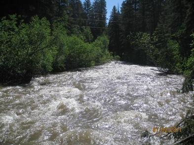
Snowbank Campground is located on the banks of Mill Creek, approximately 29 miles south of Livingston, in southwestern Montana. Visitors enjoy the area for its scenic natural beauty, and fishing and trail opportunities. This campground is not recommended for RV’s over 30′ in length.
Recreation
Mill Creek offers anglers the opportunity to fish for whitefish, rainbow, brown and cutthroat trout.
A number of hiking trailheads near the campground offer wilderness access, climbing into the Absaroka Range. The 6.3-mile Wicked Ridge Trail begins just outside the campground entrance. Off-road vehicle and bike trails also crisscross the area around Snowbank.
Facilities
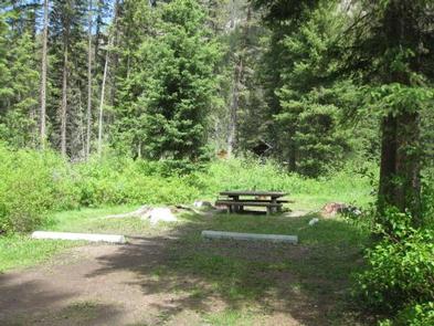
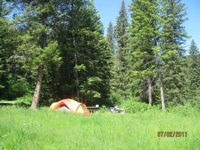
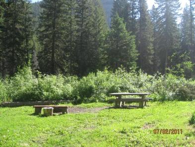
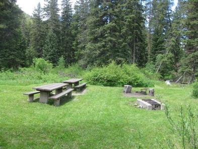
The campground offers one GROUP CAMPING AREA (SITE 12) that can accommodate up to 25 people. Single-family sites are also available. Picnic tables and campfire rings are provided, as are vault toilets, drinking water and trash collection. Firewood is available for $6.00 per bundle.
Natural Features
The campground is situated along Mill Creek near the western edge of the Absaroka-Beartooth Wilderness, where a scenic forest of mature spruce and fir trees covers the area. Thimbleberry and raspberry bushes dot the forest floor.