

Directions
From Cody, Wyo., follow Sheridan Avenue west through Cody until the road leaves town and becomes the Buffalo Bill Cody Scenic Byway (U.S. Highway 14/16/20). The campground is located 36 miles from Cody, on the south side of the highway. It is between Newton Campground to the west and Clearwater Campground to the east.
Phone
307-527-6921 – THIS NUMBER IS NOT FOR RESERVATIONS. FOR RESERVATION OR INQUIRIES ABOUT RESERVATION STATUS, GO TO RECREATION.GOV 1-877-444-6777
Activities
BOATING, CAMPING, FISHING, HIKING, HORSEBACK RIDING, WILDLIFE VIEWING
Keywords
REXH,Rex Hale Campground,New Rex Hale Campground,SHOSHONE NF – FS
Related Link(s)
Overview
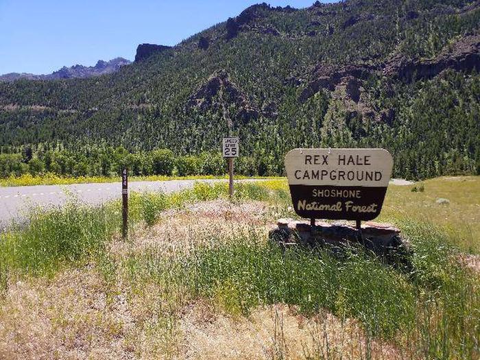
Rex Hale Campground is located along the Buffalo Bill Scenic Byway about 36 miles west of Cody, in northwestern Wyoming. It is just over 16 miles east of Yellowstone National Park’s east entrance. The surrounding area offers many outdoor recreational opportunities, including fishing, hiking and viewing local wildlife.
The campground is named after Rex Hale, one of 15 firefighters who died in the 1937 Blackwater Fire, which burned more than 1,700 acres of Forest Service lands within the Shoshone National Forest.
Recreation
Great opportunities for hiking, fishing, scenic driving and wildlife viewing are available around the campground. The North Fork of the Shoshone River is a popular fly-fishing location for rainbow and Yellowstone cutthroat trout.
A firefighter memorial is located along the highway, just over a mile west of the campground. Forest Service Trail 758 leads to two additional memorials, which mark the locations where other firefighters lost their lives in the Blackwater Fire.
Mummy Cave is less than a mile from the campground. This historical site was discovered in 1957 and found to have been occupied for a period of over 9,000 years. Many artifacts, including a mummified ancient inhabitant, were excavated from the large alcove, which was placed on the National Register of Historic Places in 1981.
Facilities
REX HALE WATER SYSTEM IS TEMPORARILY OUT OF SERVICE
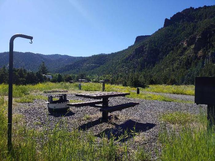
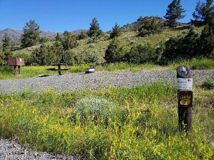
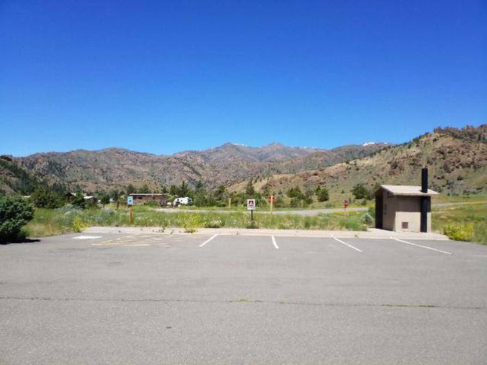
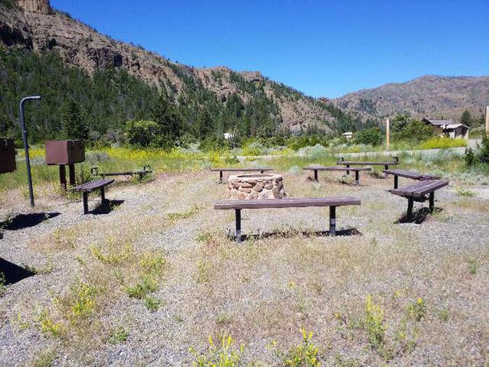
The campground offers several campsites, some of which have electric and water hookups. Each site is equipped with a table, campfire ring and food storage locker. Vault toilets, drinking water and trash collection are provided. Campers are allowed to gather firewood in the area.
Natural Features
The campground is situated near the banks of the North Fork of the Shoshone River and offers views of spectacular red cliffs, where bighorn sheep may be seen early in the season.
A wide variety of wildlife lives in the surrounding area. Visitors often glimpse grizzly bears, deer, elk, bison, moose, fox, coyotes and bald eagles.
Nearby Attractions
Pahaska Tepee, west of the campground, is home to Buffalo Bill’s original hunting lodge, built in 1904. Tours are offered daily between Memorial Day and Labor Day. Pahaska also offers guided horseback rides, a gift shop, restaurant and lodging.
Yellowstone National Park’s east entrance is 18 miles from the campground via the Buffalo Bill Cody Scenic Byway. The park offers unparalleled wildlife viewing opportunities, as well as breathtaking scenery and unique geological features.
The small, historic city of Cody offers a variety of dining, lodging and shopping options. The Buffalo Bill Historical Center offers extensive displays of Greater Yellowstone natural history, Plains Indians artifacts, western art, firearms, Buffalo Bill memorabilia and a wild sheep exhibit.