
Directions
From Asheville, North Carolina, take I-26 west to exit 9 onto 19 east toward Burnsville. Follow 19 to Micaville and turn right onto Highway 80. Continue south approximately 12-14 miles to Mount Mitchell Golf Course. Turn right on South Toe River Road and follow signs to Black Mountain Campground. Campers must enter through the main gate at Black Mountain Campground to get to Briar Bottom.
Phone
828 675-5616
Activities
BIKING, CLIMBING, CAMPING, INTERPRETIVE PROGRAMS, FISHING, HIKING, HORSEBACK RIDING, WATER SPORTS, DAY USE AREA
Keywords
BRIA,Black Mountain,NFs IN NORTH CAROLINA – FS
Related Link(s)
North Carolina State Road Conditions
Overview
Briar Bottom Group Campground is the perfect getaway for visitors to enjoy mountain scenery and easy access to hiking trails. The campground sits at the base of Mt. Mitchell, the highest peak east of the Mississippi River, in Pisgah National Forest.
Recreation
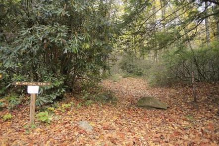
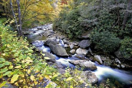
With the South Toe River located near the campground, visitors will have no shortage of things to do, including picnicking, day hiking, scenic driving and trout fishing. Hikers will be pleased with a variety of trails from which to choose, including a leisurely half-mile walk through the forest or a challenging 5.6-mile hike up Mt. Mitchell.
The adjacent Black Mountain Campground has a playing field, volleyball courts and horseshoe pit available.
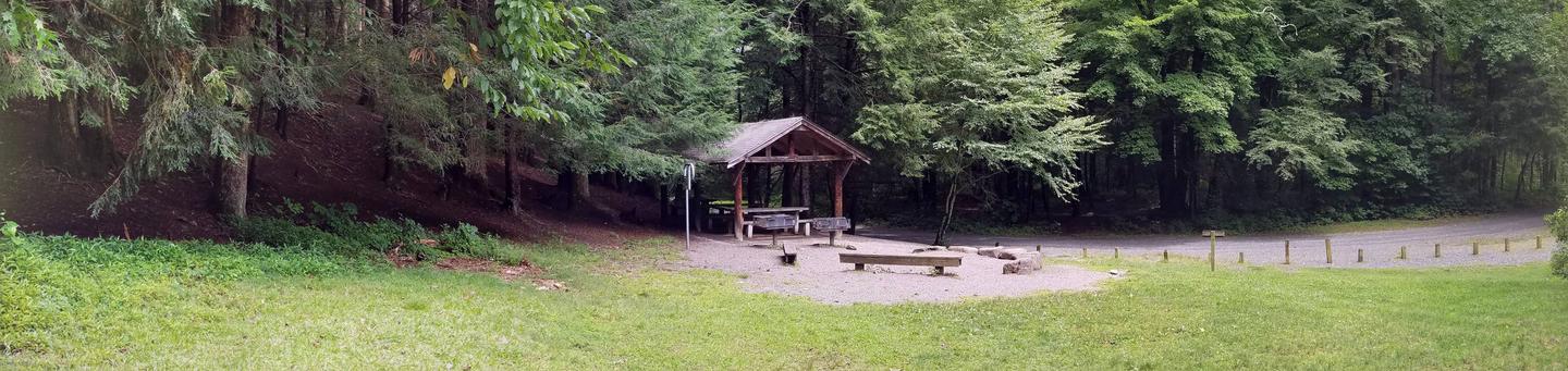
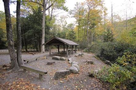
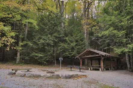
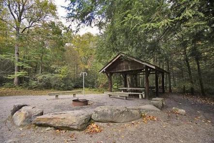
Facilities
The facility has six separate campsites; each can accommodate up to 50 people. Sites are organized around a single loop with individual parking spurs, providing plenty of space for tents. The campground is equipped with flush toilets and campers can use showers at the adjacent Black Mountain Campground. A campground host is available for visitor assistance.
Natural Features
The campground sits at an elevation of 3,040 feet. The 6,684-foot Mt. Mitchell towers over the area, with several other high peaks of the Black Mountains nearby. The lush forest in this part of the Appalachian Mountains is rich with wildlife, plants and scenery.
Nearby Attractions
Groups can easily head out for a day of scenic driving along Blue Ridge Parkway or hiking in Mount Mitchell State Park.