
Directions
In Williams, Arizona, turn south onto 4th Street/County Road 73 and drive about 9 miles to Forest Road 110. Turn left and proceed for approximately 7 miles to FR 109. Turn left again and follow for about 3 miles to the campground.
Forest Roads 110 and 109 are high-use roads and can become rough during peak season. During the winter, roads may be closed due to snow cover.
Phone
928-699-1239
Activities
BIKING, BOATING, CLIMBING, CAMPING, INTERPRETIVE PROGRAMS, FISHING, HIKING, HORSEBACK RIDING, VISITOR CENTER, WILDLIFE VIEWING, DAY USE AREA
Keywords
WHLG,White Horse Lake,White Horse,KAIBAB NF – FS
Related Link(s)
Overview
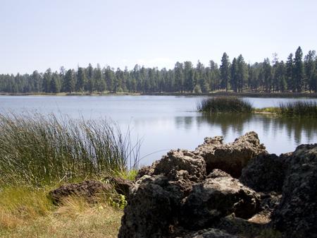
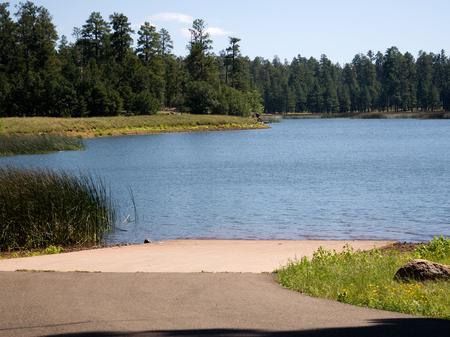
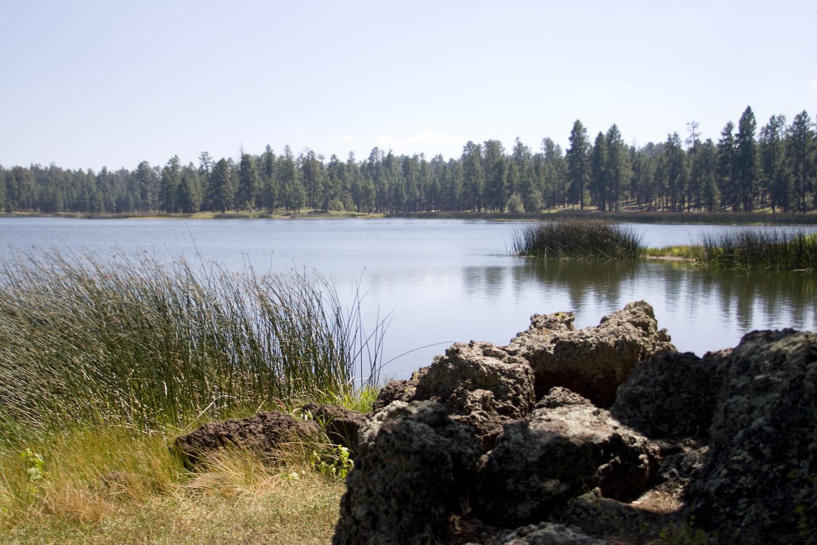
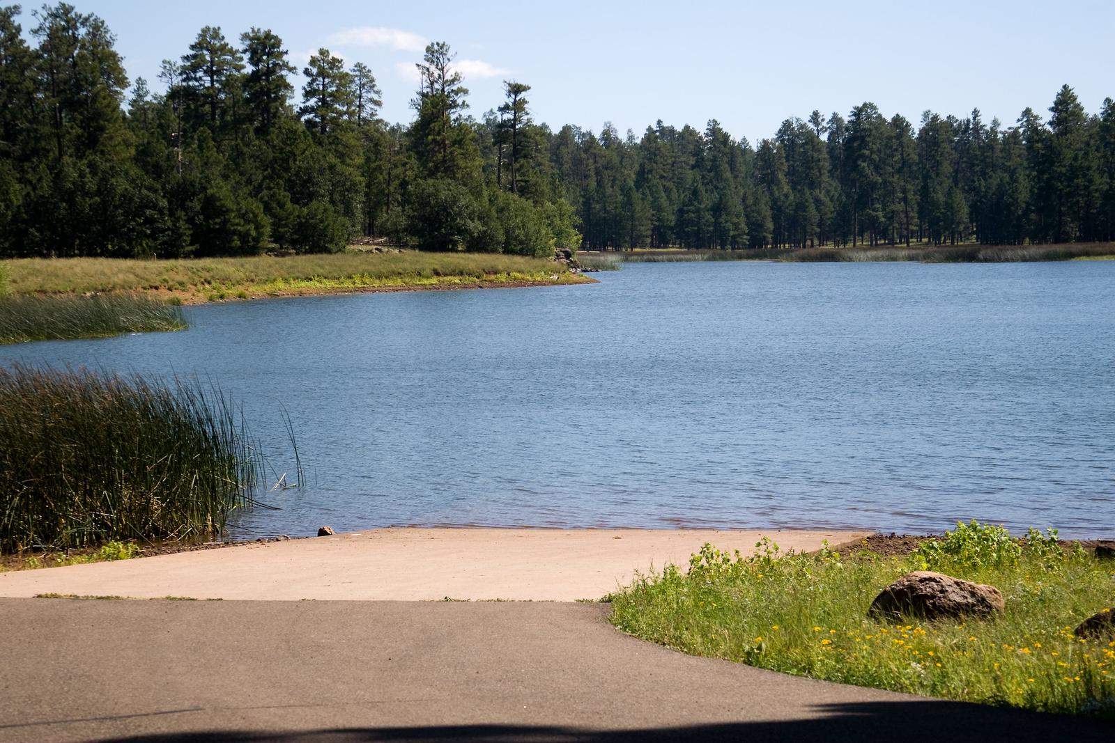
White Horse Lake is an extremely popular fishing lake, 19 miles southeast of Williams, in northern Arizona. The lake’s campground is conveniently located an hour from Grand Canyon National Park’s south rim and surrounded by the exciting and diverse scenery of Kaibab National Forest. A number of forest attractions are nearby, including scenic overlooks, dams and hiking and mountain biking trails.
Recreation
In addition to fishing, the area offers excellent opportunities for hiking, mountain biking and wildlife watching. Anglers seek out rainbow trout, brown trout and channel catfish. A trail following the lake shore is nearby, as well as one leading to Sycamore Canyon Vista.
Facilities
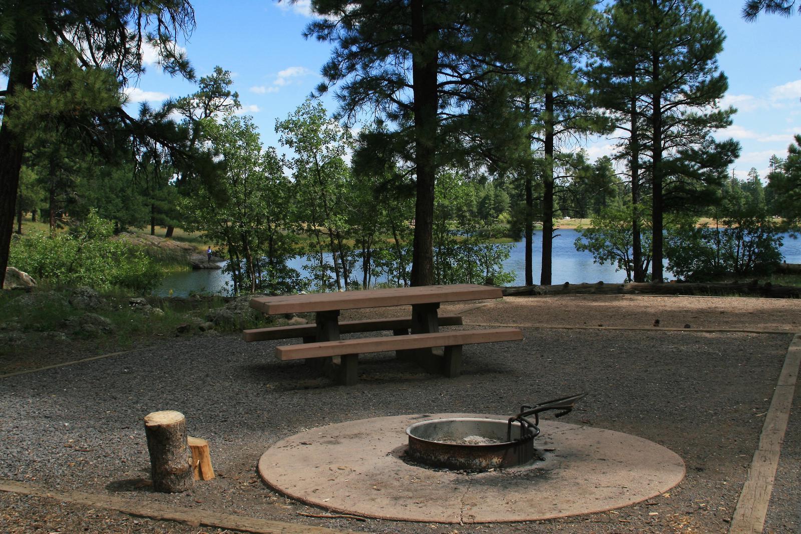
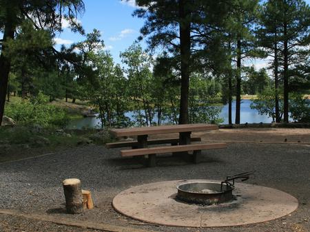
White Horse Lake boasts more than 90 single unit campsites with tables, campfire rings, grills and tent pads. There is also a large group site that can accommodate up to 60 visitors, several double sites, tent-only sites and accessible sites. Tents, trailers and motorhomes up to 38 ft. long can be accommodated.
There are many amenities offered to campers, including water faucets, a small boat ramp, restrooms, and trash bins.
Natural Features
Kaibab National Forest is nestled on the Colorado Plateau, an area of land that was uplifted by geologic processes. Dogtown Lake sits at an elevation of 6,600 feet, and the campground is forested with plenty of open areas. Wildlife such as deer and elk frequent the shoreline.
Summer temperatures range from 50 degrees at night to 80-90 degrees during the day. Summer thunderstorms, known as the monsoon, can build up quickly, especially during July and August. Snow is common from December through March.
Nearby Attractions
Grand Canyon National Park’s South Rim is just over one hour north of the campground. The cities of Williams and Flagstaff have amenities such as shops, restaurants and cultural and historic sites.
From canyons to prairies, peaks to plateaus, Kaibab National Forest offers layers of opportunity for peace, solitude and discovery. Over 300 miles of trails, some clinging to the rims of the Grand Canyon, allow visitors to step off the beaten path into uncrowded landscapes.