
Directions
From Highway 18, turn north on Green Valley Lake Road and travel 3 miles. Turn left on Forest Route 3N16 (a dirt road) and continue for about 5 miles. Park in the designated parking area just beyond the turn to Tent Peg Group Campground and walk 2.5 miles to Fisherman’s Group Campground.
Phone
909-382-2600
Activities
CAMPING, FISHING, HIKING, HORSEBACK RIDING, HUNTING, WILDLIFE VIEWING
Keywords
FISG,Deep Creek,FISHERMAN S GROUP,SAN BERNARDINO NF – FS
Related Link(s)
California State Road Conditions
Overview
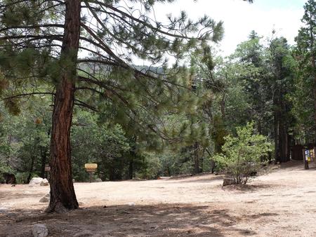
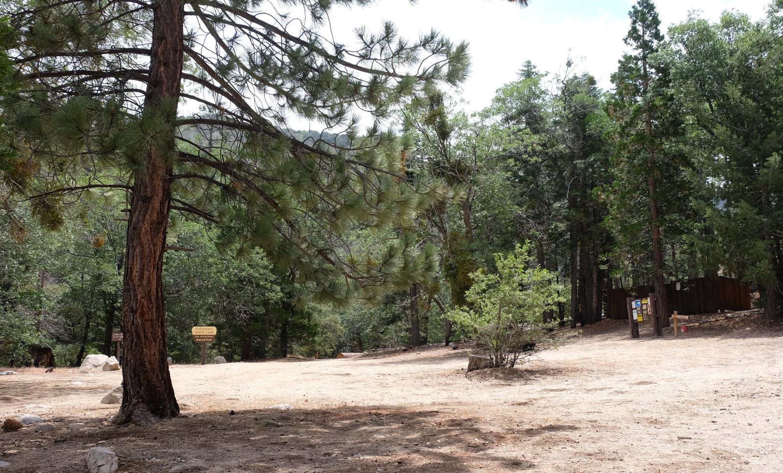
Fisherman’s Group Campground is a semi-primitive campground reached by a 2.5-mile hike into the mountains of southern California. The dirt road and walk to the sites are well worth the effort once you reach the campground, which is nestled in a scenic forest on the banks of Deep Creek.
Recreation
Visitors enjoy access to some great birding and wildlife viewing. Other activities include hiking, horseback riding, hunting and mountain stream fishing. A variety of trailheads can be accessed near the campground.
Facilities
The campground provides four walk-in sites that can accommodate up to eight people per site for tent camping. There are no hookups of any kind at the campground. Drinking water and trash collection are also not provided. Stream water must be boiled or filtered prior to drinking. A bear-proof trash container is provided at the facility, but campers must pack out what they pack in.
The campsites are equipped with tables and campfire rings with grills. A vault toilet is provided. Horses are permitted at the campground, however, there are no corrals or watering stations available.
Natural Features
The campground is situated along Deep Creek, 2.5 miles into an area forested by tall pine, oak and cedar trees at an elevation of about 7,000 feet. It is nestled in the mountains of southern California, in the San Bernardino National Forest.
Nearby Attractions
Big Bear Lake and the Big Bear Discovery Center are located about 21 miles from the campground. The center provides information on the area, a nature-themed gift shop, educational programs and restroom facilities. Trailheads are available at and near both the lake and the visitor center.