
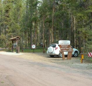
Directions
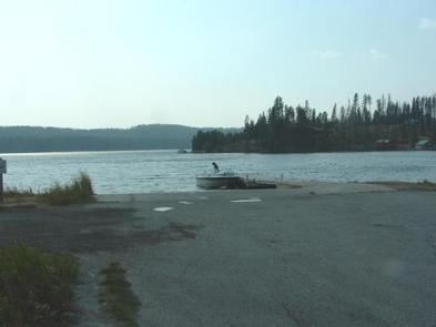
From Philipsburg travel 10.75 miles south on State Highway 1. The campground is directly across the highway from Georgetown Lake and Red Bridge Boat Launch.
Phone
406-210-8199
Activities
BIKING, BOATING, CAMPING, FISHING, HIKING, HUNTING, WATER SPORTS, WILDLIFE VIEWING, SWIMMING SITE
Keywords
LODB,BEAVERHEAD-DEERLODGE NF -FS
Related Link(s)
Overview
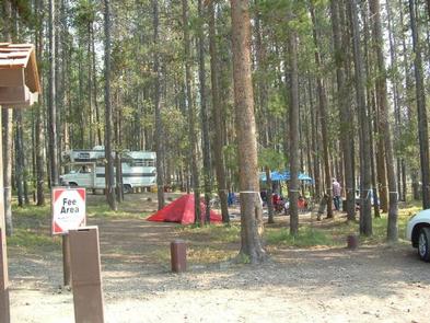
Lodgepole Campground is a large facility situated along a scenic highway in the Pintler Ranger District of the Beaverhead-Deerlodge National Forest, the largest national forest in Montana. Across the street is Georgetown Lake, a popular destination for fishing, boating and water sports.
Please note, this campground IS NOT within Sequoia National Park.
Recreation
Postcard-perfect Georgetown Lake is a prime destination for fishing and fly fishing with kokanee salmon, rainbow and brook trout being the most sought-after species.
Canoeing and boating are also popular activities. Hikers, horseback riders and mountain bikers will find no shortage of trails within a few miles of the campground.
Facilities
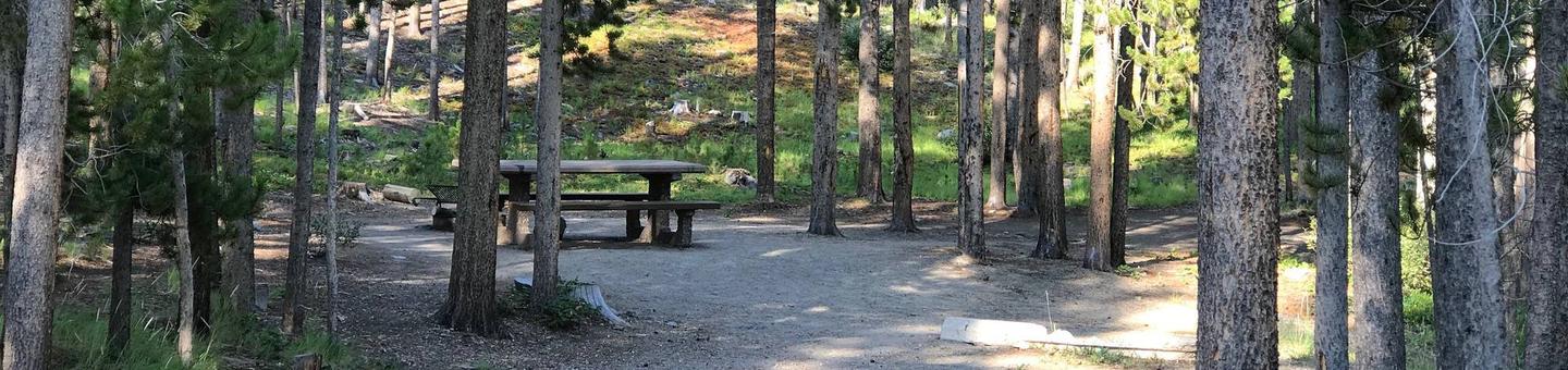
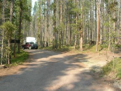
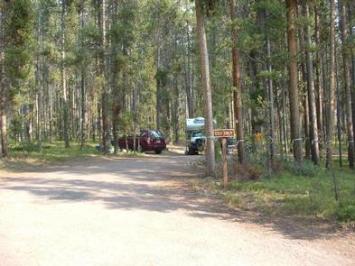
The campground is conveniently located across the street from Georgetown Lake, though there is no direct lake access from the site but Red Bridge Boat Launch is walking distance away. If you camp at Lodgepole Campground there is no charge for using the boat launch/day use area. This facility is one of the larger campgrounds in the lake area with 31 units available for tent and RV camping.
Natural Features
Georgetown Lake boasts more than 3,000 acres of cool mountain waters at an elevation of 6,000 feet. It is surrounded by the sometimes snow-covered Flint Creek Range to the north and the Pintlers to the south.
Lodgepole Campground derives its name from the long and slender Lodgepole pines, which surround the area.
The lake area is also home to abundant wildlife, including moose, elk, white-tailed deer and even bighorn sheep.
Charges & Cancellations
Must cancel 4 days in advance