

Directions
From the intersection of Florida Highways 19 and 42, go east on Highway 42 toward Paisley. Drive approximately 6 miles and turn left at the entrance to Clearwater Lake Recreation Area.
Phone
352-669-0078
Activities
BIKING, BOATING, CAMPING, INTERPRETIVE PROGRAMS, FISHING, HIKING, VISITOR CENTER, SWIMMING SITE, MOUNTAIN BIKING, KAYAKING, CANOEING
Keywords
CLRA,OCALA NATIONAL FOREST,SEMINOLE DISTRICT,LAKE GEORGE DISTRICT,NFs IN FLORIDA – FS
Related Link(s)
Overview
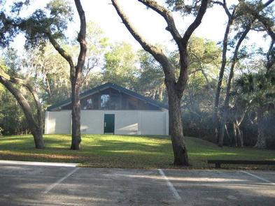
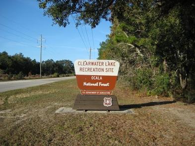
Clearwater Lake Recreation Area offers a quiet getaway along the southeastern edge of the Ocala National Forest, just outside the community of Paisley, Florida. With a shaded campground, day use picnic area, beach and a nature trail that winds through the pine woods and scrub around Clearwater Lake, this facility has plenty of activities to keep campers occupied.
The Ocala National Forest, in north central Florida, spans four counties and 383,000 acres. It is the southernmost and oldest national forest east of the Mississippi River, and protects the world’s largest, contiguous sand pine scrub forest.
Recreation
The abundant water in the area offers many opportunities for recreation. In addition to swimming in the lake, a 7-mile canoe trail meanders not far from Clearwater Lake. Canoe rentals are available at the campground. Campers can fish for largemouth bass, brim or catfish. Hikers have access to the Clearwater Lake Loop Trail, a 1.3-mile nature trail; a segment of the 1,400-mile Florida National Scenic Trail; and mountain bikers can ride the Paisley Woods Bicycle Trail, a 22-mile forested path. This is bear country; practice safe food storage techniques. It is also alligator country; practice caution around water.
Facilities
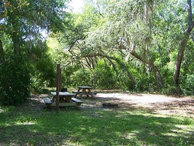
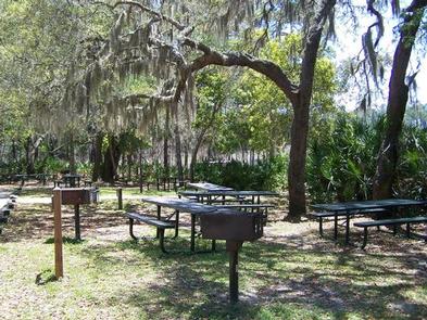
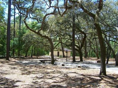
The campground area is nicely shaded, its breezy lakefront sites border Clearwater Lake. Sites accommodate motor homes, trailers and tents, and flush toilets and showers are available. A dish washing station is also available in both loops. Campsites have level parking pads and space for tents. No hookups are available.
The small town of Paisley is a mile away, with camping supplies, a post office and a library with Internet access.
Natural Features
The semi-tropical region gives the campground a mixture of pines and palms, with lush greenery and warm temperatures. With ample habitat, alligators, turtles, deer, raccoons, black bear and numerous birds make their home here.
Nearby Attractions
The Ocala National Forest is notable for its extensive off-road trail system catering to both ATV enthusiasts and Jeeps, as well as being a traditional destination for deer hunters from around Central Florida. These opportunities are available within a short drive of Clearwater Lake.