
Directions
From Interstate 10, take State Highway 385 south to Fort Stockton and into Marathon. From Marathon, drive 40 miles south on State Highway 385 to the north entrance of Big Bend National Park. Drive straight for 26 miles to Park Headquarters at Panther Junction. Turn right at the intersection and go 13 miles west. Take a left at the Ross Maxwell Scenic Drive and drive 23 miles to Cottonwood Campground.
Phone
432-477-1121
Activities
CAMPING, FISHING, HIKING, WILDLIFE VIEWING, CANOEING, BIRDING, HISTORIC SITES, PICNIC TABLES
Keywords
COWD,CASTOLON,SANTA ELENA CAMPGROUND,BIG BEND NATIONAL PARK,BIG BEND
Related Link(s)
Overview
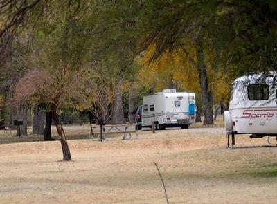
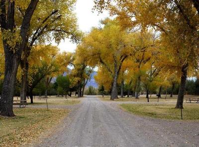
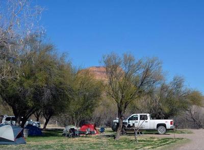
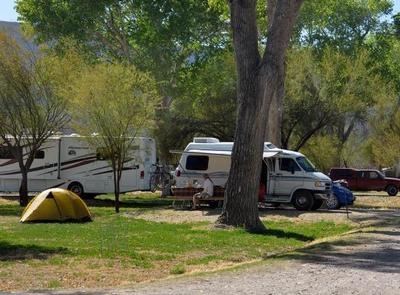
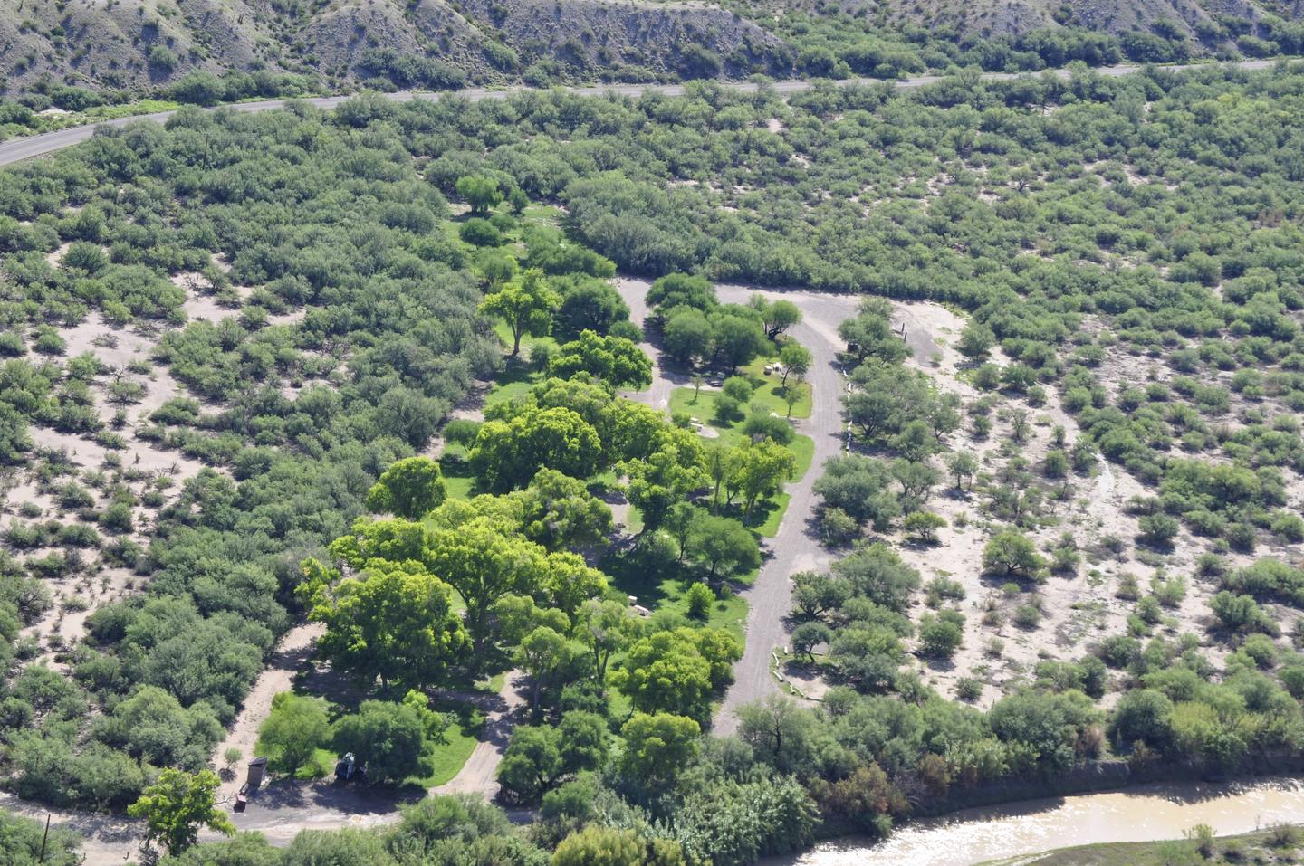
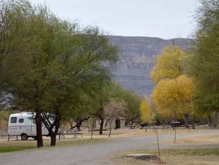
Cottonwood Campground is a quiet desert oasis in the southwestern corner of Big Bend National Park. Conveniently located between the Castolon Historic District, the scenic Santa Elena Canyon and the tail end of the Ross Maxwell Scenic Drive, this small, 25-site campground is one of the least-known and typically least-occupied campgrounds in the park. The group site is the only campsite available for advanced reservations in the facility and is tent-only; individual campsites are first-come, first-served year-round. Cottonwood gets its name from the cottonwood trees that surround and provide shade for the facility nearby the Rio Grande. A general store and visitor center — a converted former military outpost — are also nearby. The campground is at an elevation of 1,900 ft. It is relatively cool in the peak seasons of fall and winter due to cold air sinking into the lower elevations. In the spring and summer, this campground is very hot, with temperatures normally exceeding 100 degrees F from mid-March through August.
Recreation
Particularly popular with bird watchers, Cottonwood Campground is a haven for those wishing to study the abundant bird life in Big Bend while also escaping the more crowded areas in the park. Because of its diverse ecosystems and plant life, the park provides habitats for many rare and unique birds, including the Mexican mallard, Lucifer hummingbird, Mexican jay, black-capped and gray vireos, and Varied Bunting. Hiking trails are located around the campground.
Facilities
The group campsite is a walk-in, tent-only site; no RVs or trailers are allowed. Vehicle parking is restricted to an adjacent parking area, a short walk from the campsite itself. The campground has pit toilets, potable water, picnic tables, bear boxes, and grills. There are no hookups or dump stations, and the use of generators is not allowed.
Natural Features
The national park is named for a curve in the Rio Grande called the “big bend.” For 1,250 miles, the river is an International Boundary between the United States and Mexico. Due to its proximity to water, many species of birds can be found in the Cottonwood area, including nesting migratory birds. Santa Elena Canyon is a beautiful river canyon that can be seen from the campground area.