
Directions
From Ashford, WA, take Forest Road 52 approximately 5 miles to the campground.
Phone
541-338-7869
Activities
BIKING, CAMPING, FISHING, HIKING
Keywords
BCRK,MR. RAINIER,ASHFORD,ELBE,GIFFORD PINCHOT NF – FS
Related Link(s)
Washington State Road Conditions
Overview
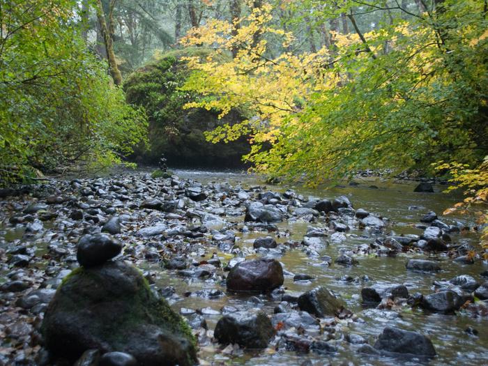
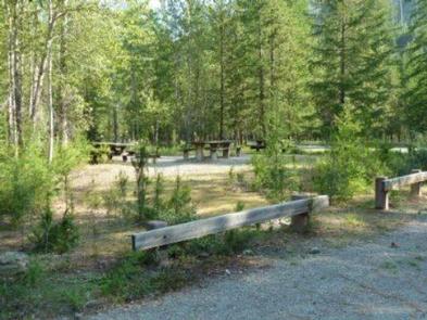
Situated in the vicinity of majestic Mount Rainier, Big Creek is a family campground nestled among Douglas firs, hemlock, alders and maples. The lush vegetation offers plenty of privacy between sites.
The sites at Big Creek form a loop, with only a handful of sites sitting along the banks of Big Creek. Open from mid-May through late September, Big Creek provides an alternative to the campgrounds at Mount Rainier National Park, which can get very crowded during the summer.
Recreation
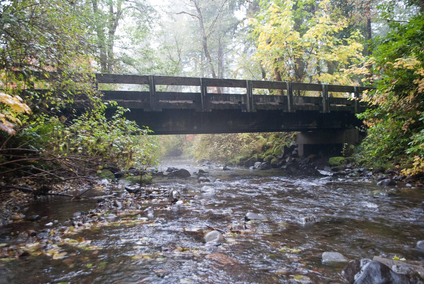
Anglers can try their luck at catching brook trout in Big Creek or for those looking to explore the area, the Osborne Mountain Trail starts at the campground. The route is steep, but the scenery is amazing, and the trail can be traversed by foot, horse, mountain bike or dirt bike.
Facilities
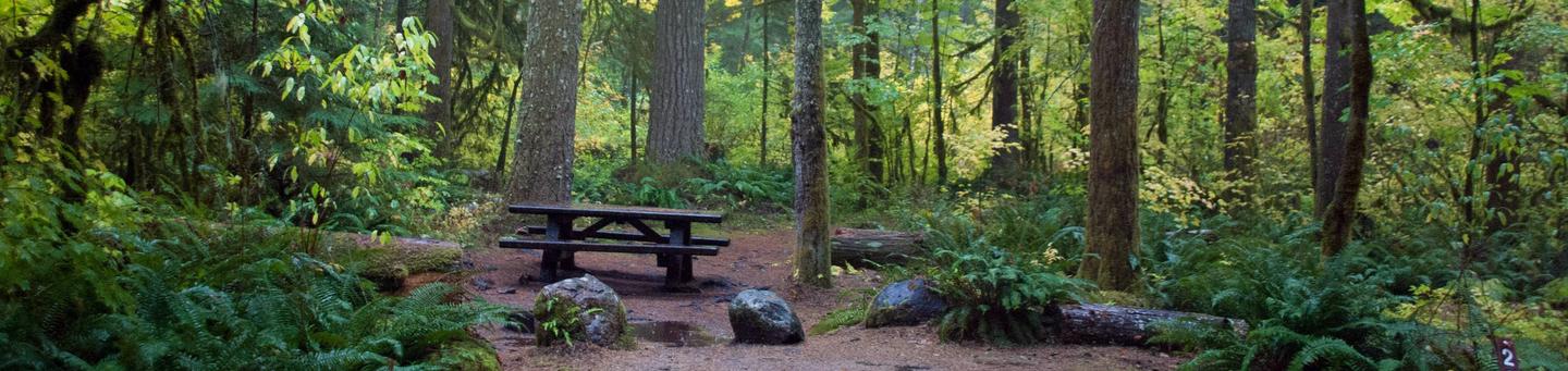
The campground requires vehicles to have a relatively tight turning radius. Big Creek can accommodate tents, trailers and RVs, with a maximum vehicle length of 22 feet.
Some parking spurs are paved; others are native moss and dirt. Some sites have rocks or heavy vegetation, which may make it difficult to pitch a tent.
Drinking water is available, but there are no hot showers available onsite. Vault toilets are provided as well as a pedestal grill, fire pit and picnic table at each site.
Gray water disposal facilities are located throughout the campground.
Natural Features
Located in southwest Washington State, the Gifford Pinchot National Forest encompasses over 1.3 million acres and includes the 110,000-acre Mount St. Helens National Volcanic Monument established by Congress in 1982.
Big Creek is located in the Cowlitz Valley Ranger District, the northernmost portion of the Gifford Pinchot National Forest. This Ranger District manages four Wilderness Areas including the Goat Rocks Wilderness, Glacier View Wilderness, Tatoosh Wilderness and William O’ Douglass Wilderness.
The Cowlitz Valley Ranger District is roughly located among three volcanic peaks: Mt. Rainier to the north, Mt. Adams to the east, and Mt. St. Helens to the west, providing visitors with a unique geological landscape.
Nearby Attractions
Big Creek is 6 miles from the Nisqually entrance of Mount Rainier National Park. The popular Henry M. Jackson Memorial Visitor Center at Paradise is 21 miles away, and the nearby town of Ashford offers restaurants, along with a few art galleries and shops.