
Directions
Upper Goodell Group Campground is located at mile marker 119 on State Route 20. From Burlington, WA, drive 60 miles east on State Route 20. From Twisp, WA, drive 82 miles west on State Route 20.
Phone
(360) 854-7200
Activities
CAMPING, HIKING
Keywords
UGGC,North Cascades,Newhalem
Related Link(s)
Washington State Road Conditions
Overview
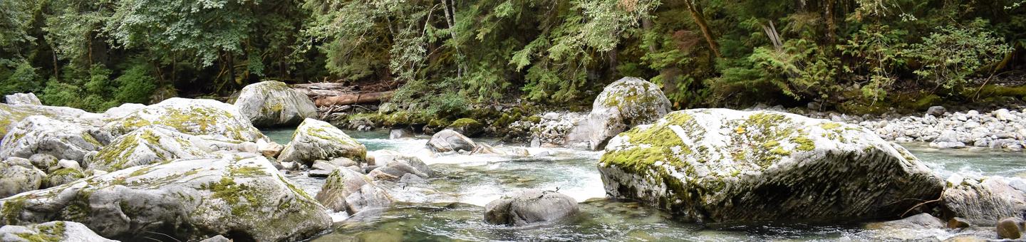
Upper Goodell Group Campground is a quiet, remote facility for tent camping on the banks of Goodell Creek in North Cascades National Park. The campground is the perfect place to relax while watching the rushing creek cascade over its rocky course.
The area is more remote and up a slightly steeper road than nearby Lower Goodell Group Campground. The elevation is 500′ above sea level. Both Upper and Lower Goodell Group Campgrounds are convenient hubs for day trips to the visitor center, hiking trails and the nearby town of Newhalem.
Recreation
Nature abounds in the Goodell Gorge, where visitors enjoy exploring the scenery, viewing wildlife and birding. Black bears inhabit the area, so caution must be taken while hiking, picnicking or camping. Many miles of hiking trails are within a short drive. The creek and nearby Skagit River offer fishing for trout, salmon and steelhead. There is no boating or swimming at the site.
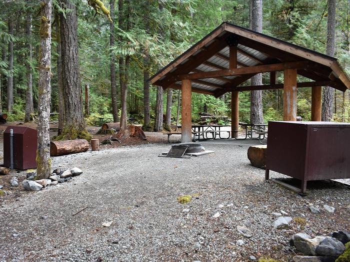
Facilities
The facility has a picnic shelter and pit toilet for visitors’ convenience. No potable water. Water is available at the main Goodell Creek campground on the south side of State Route 20.
The campground has one group site, which can comfortably fit 12 to 20 people with a maximum capacity of 30.
Natural Features
The site lies among lush ancient forests of western redcedar, western hemlock and Douglas-fir trees. The creek’s headwaters begin in the surrounding mountains, pick up cold, clean glacial meltwater along the way, and eventually empty into the Skagit River. The creek provides a sampling of the colorful crystalline rocks of the North Cascade Core, which formed deep underground and is now revealed in the rugged terrain of the North Cascade Range.
Nearby Attractions
The campground is a short drive or a long walk to the visitor center, and the nearest store is in Newhalem.