


Directions
From Portland take I-5 South to OR-38 East to US-101 South to Gold Beach. From US-101 in Gold Beach, turn onto Jerrys Flat Road. In 9.8 miles, this becomes Forest Road (FS) 33. Continue on FS-33 for an additional 3.2 miles, then turn right onto FS-3313. In 8.2 miles, turn left on FS-3680. Continue on FS-3680 for 6.7 miles to the lookout site. Although visitors can drive to within sight of the lookout, the 200-yard hike to the summit can be strenuous when carrying gear. A wheelbarrow is provided for convenience. Snow Camp lookout is currently inaccessible from the south due to the Chetco Bar Fire closure area.
Phone
541-247-3600
Activities
CAMPING, FISHING, HIKING, WILDLIFE VIEWING, SWIMMING SITE
Keywords
SNOW,SISKIYOU,ROGUE RIVER,ROGUE RIVER NATIONAL FOREST,SISKIYOU NATIONAL FOREST,ROGUE RIVER-SISKIYOU NATIONAL,ROGUE RIVER SISKIYOU NATIONAL,ROGUE RIVER-SISKIYOU,ROGUE RIVER SISKIYOU,ROGUE RIVER – SISKIYOU NF – FS
Related Link(s)
Overview
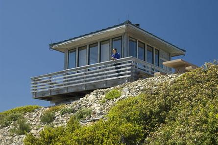
SNOW CAMP LOOKOUT IS CLOSED UNTIL FURTHER NOTICE. Snow Camp Lookout sits at the peak of Snow Camp Mountain at an elevation of 4,223 feet, offering guests spectacular panoramic views of the surrounding area. The fire lookout is the most recent of three structures built atop Snow Camp Mountain. The structures onsite were used as fire lookouts and an Aircraft Warning System station during World War II. The original cabin was destroyed in the 2002 Biscuit Fire, a massive blaze that burned more than a half-million acres in Oregon and California, but was reconstructed just two years later. Today the lookout offers a unique lodging experience for guests seeking a bit of solitude and relaxation. Although the cabin offers some basic amenities, guests must bring a few of their own supplies to ensure an enjoyable stay.
Recreation
Hiking, mountain biking, stargazing, and wildlife viewing are popular among guests to this lookout.
An important component of the historic fabric of the watershed is the trail system. Hikers may want to wander trails that originally followed older aboriginal routes. “Chief” Elwin Frye, a packer for the Forest Service, identified a portion of the Snow Camp Trail as an Indian travel route. The trail is one of the oldest in the Forest, and provides access to Windy Valley, a pristine mountain meadow with a small crystal clear creek.
At night the lookout is an ideal setting for stargazing, as constellations and planets put on a dazzling display.
Facilities
The renovated fire lookout is a 15′ x 15′ structure, originally designed for one or two people. It is furnished with a double bed with a mattress, a table and chairs, cabinets and counter space for food preparation. It is also equipped with a wood-burning cook stove and a picnic table for outdoor dining. A pit toilet is located near the lookout. There is no water on site, so visitors must bring sufficient supplies for drinking, cooking and washing. Guests must also provide their own sleeping bags, sleeping pads, towels, dish soap, matches, cooking gear, toilet paper and garbage bags. Although visitors can drive within sight of the lookout, the 200-yard hike to the summit can be strenuous when carrying gear. The final 200 yards to the lookout are open to administrative traffic only.
Natural Features
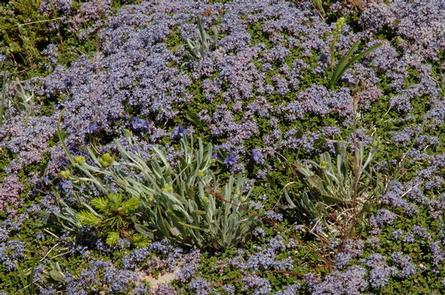
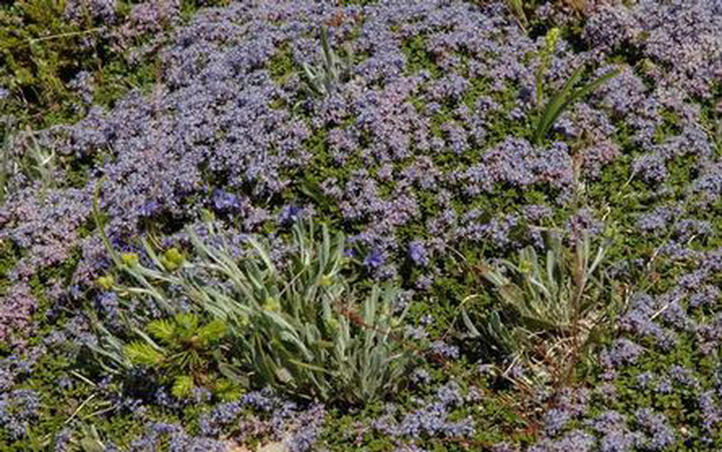
On a clear day, guests at Snow Camp Lookout will see ocean waves crashing along Kellogg Beach, Point St. George and Castle Rock near Crescent City, California. Effects of the 2002 Biscuit Fire and the 2017 Chetco Bar Fire are obvious within the surroundings, though forested mountains and grassy hillsides dotted with pine trees extend from the lookout as well.