
Directions
From Highway 75, turn onto Yankee Fork Road (Forest Road 013) at Sunbeam Dam overlook. Travel approximately seven miles north on Yankee Fork Road and turn left at the Bonanza Guard Station onto Forest Road 074. Continue for approximately half a mile to the campground.
Phone
208-879-4100
Activities
CAMPING, FISHING, HIKING, WILDLIFE VIEWING
Keywords
BNZA,BONANZA CCC,BONANZA GROUP CAMPGROUND,BONANZA CAMPGROUND,CCC CAMPGROUND,SALMON-CHALLIS NF – FS
Related Link(s)
Overview
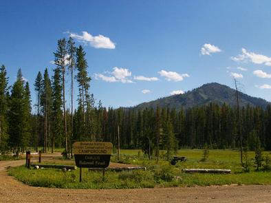
Bonanza CCC Group Campground is located nine miles up the scenic and historic Yankee Fork drainage. It is approximately 23 miles from Stanley, Idaho, at an elevation of 6,500 feet.
Recreation
The Yankee Fork provides good fishing for rainbow trout, cutthroat trout and whitefish.
Many miles of trails crisscross the area, including the West Fork of Yankee Fork, Crimson Lake Trail and Lightning Creek Trail. Trailheads for each are not far from the campground.
Facilities
The site is available for reservation from Memorial Day through Labor Day, and is for group camping only. Individual units are not reservable.
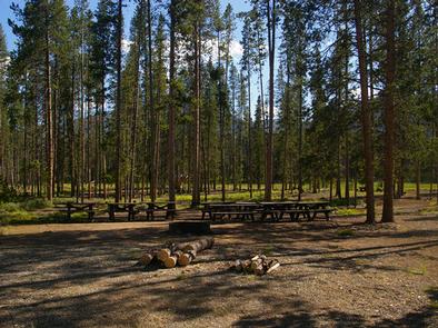
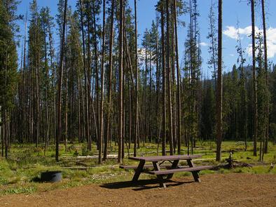
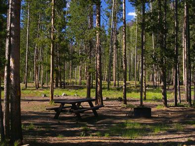
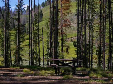
The campground includes 13 camp spurs; each with a pad for parking vehicles and/or trailers, a picnic table and a campfire ring. The facility also offers a group area with two large fire rings, a grey water sink and several picnic tables.
Camping spurs average from 45 to 50 feet deep. Five spurs are wide enough to accommodate one to two additional vehicles. The entire facility allows parking for approximately 40 vehicles without trailers and 20 vehicles with trailers. Please take this into consideration if your group brings trailers.
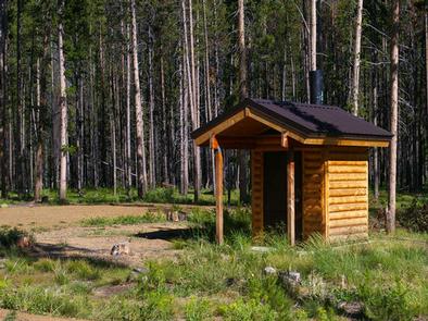
Vault toilets, potable water, and trash collection are provided, but there is no electricity or other hookups. Roads and parking spurs are gravel.
Natural Features
Bonanza is situated in a beautiful valley near the Yankee Fork of the Salmon River. Lodgepole pines are scattered throughout the campground, providing limited shade. Summer wildflowers are abundant in the area.
Nearby Attractions
Yankee Fork has a rich history, all of which is easily accessed from the campground. Within a mile is the ghost town of Bonanza and two miles further is the ghost town of Custer. Bonanza, Boot Hill and Custer cemeteries are in the vicinity. The Yankee Fork Gold Dredge towers over the stream near Custer. Interpretive tours of the structure are offered from Memorial Day weekend through Labor Day. Sunbeam Dam site is nine miles down the canyon. Information about the only dam ever built on the Salmon River are provided at the river’s edge.