
Directions
From Bakersfield, take Highway 178 east to the town of Lake Isabella. From Lake Isabella, take Highway 155 north approximately 6 miles to Live Oak South campground.
Phone
760-376-1815
Activities
CAMPING
Keywords
LIOA,LIVE OAK,LIVE,OAK,OAK SOUTH,LIVE SOUTH,SEQUOIA NF – FS
Related Link(s)
California State Road Conditions
Overview
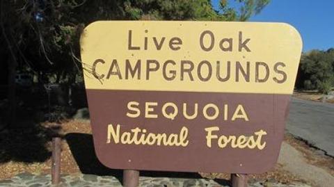
Reservations not being accepted. Live Oak South Campground is located across the road from Lake Isabella, a popular destination for boating, windsurfing, fishing and swimming. Lake Isabella sits within Sequoia National Forest, just 6 miles from the town of Lake Isabella.
Recreation
Water activities at Lake Isabella are popular and include swimming, water skiing, windsurfing and fishing. The lake is known for its trout fishing during the colder months. Other species include black and white crappie, bluegill, catfish and largemouth bass.
Facilities
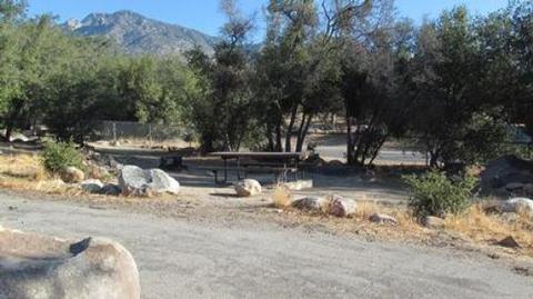
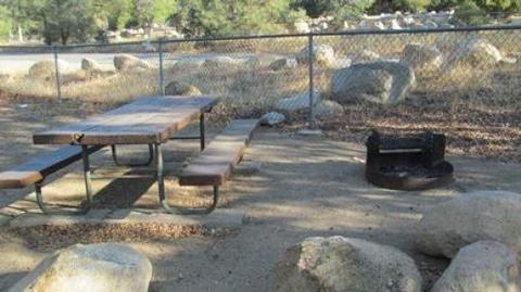
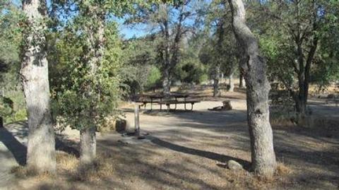
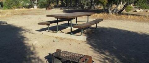
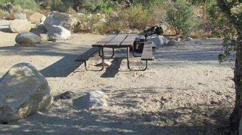
The campground offers sites for tent camping only. Each site is equipped with a picnic table and campfire ring. Flush toilets, showers and drinking water are provided.
Natural Features
The campground is situated in a grove of scenic oak trees at an approximate elevation of 2,500 feet.
Lake Isabella sits at the southern end of the Sierra Nevada range. The 11,000-acre lake marks the division between the Upper Kern River and the Lower Kern River.
Sequoia National Forest is named for the giant sequoia, the world’s largest tree, which grows in more than 30 groves on the forest’s lower slopes. The forest comprises about 1.1 million acres. Elevations range from 1,000 to 12,000 feet, creating precipitous canyons and mountain streams with spectacular waterfalls such as Salmon Creek Falls and Grizzly Falls.
Nearby Attractions
Live Oak South provides a good base for day trips to Sequoia National Park. The Trail of a Hundred Giants and numerous sequoia groves can be found nearby within Giant Sequoia National Monument.
The Giant Sequoia Mercantile is just 5 miles away in Kernville, and offers a wide variety of books, maps, gifts and camping equipment.